WMS:Quick Tour - Creating Watershed Models Directly: Difference between revisions
From XMS Wiki
Jump to navigationJump to search
No edit summary |
No edit summary |
||
| Line 9: | Line 9: | ||
[[Category:WMS Quick Tour|Creating]] | [[Category:WMS Quick Tour|Creating]] | ||
[[Category:WMS Feature Objects]] | |||
Revision as of 16:23, 9 January 2017
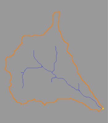
Sometimes the simplest solution to creating a watershed model is to use the GIS data directly to delineate boundaries. In the absence of good elevation data, or when data already exists in a GIS, WMS allows the user to use these data to set up complete watershed models.

