GMS:Image Gallery: Difference between revisions
From XMS Wiki
Jump to navigationJump to search
No edit summary |
No edit summary |
||
| Line 41: | Line 41: | ||
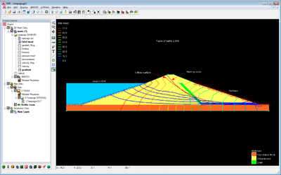
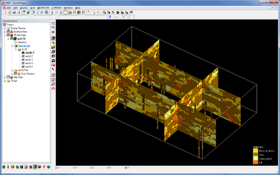
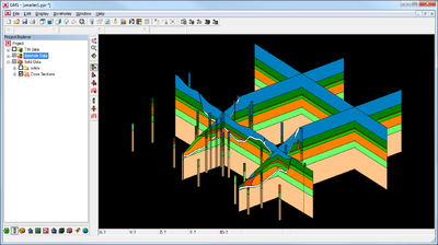
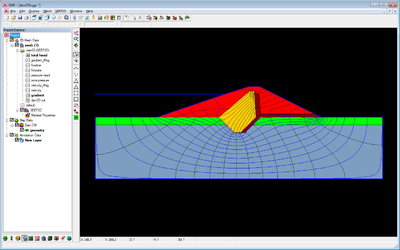
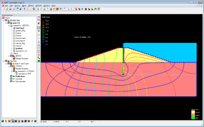
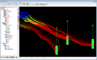
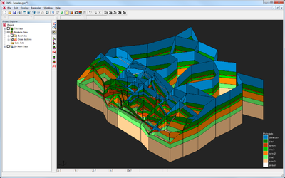
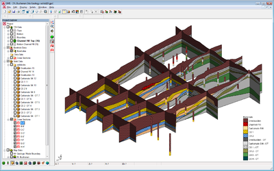
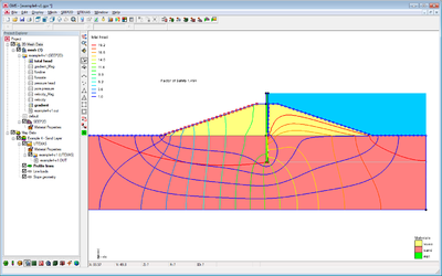
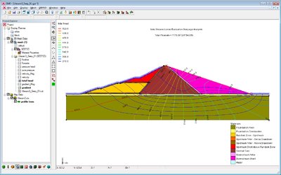
| [[Image:slope_failure.png|thumb|400px|User-define cross sections to characterize a slope failure.]] | | [[Image:slope_failure.png|thumb|400px|User-define cross sections to characterize a slope failure.]] | ||
|- | |- | ||
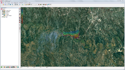
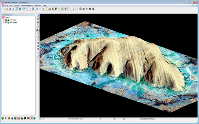
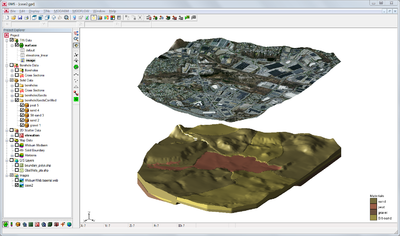
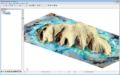
| [[Image:ayers_rock_black.png|thumb|400px|Ayers Rock - World imagery, ASTER GDEM elevations.]] | | [[Image:ayers_rock_black.png|thumb|400px|Ayers Rock - World imagery, ASTER GDEM elevations.]] | ||
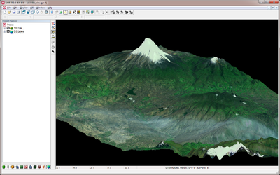
| [[Image:chimbo_black.png|thumb|400px|Mount Chimborazo - World imagery, ASTER GDEM elevations.]] | | [[Image:chimbo_black.png|thumb|400px|Mount Chimborazo - World imagery, ASTER GDEM elevations.]] | ||
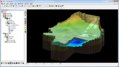
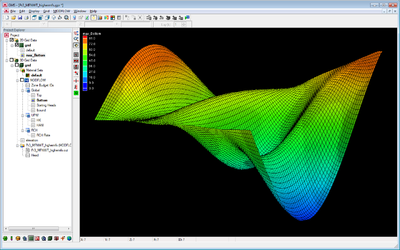
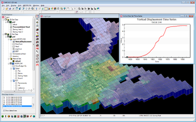
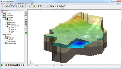
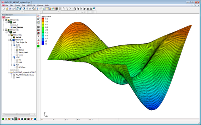
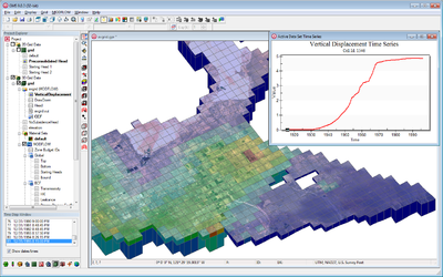
| [[Image:Vertical_Displacement_b.png|thumb|400px|SUB package vertical displacement plot.]] | | [[Image:Vertical_Displacement_b.png|thumb|400px|SUB package vertical displacement plot.]] | ||
|- | |||
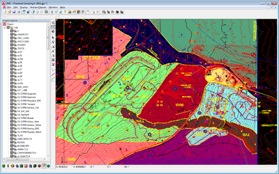
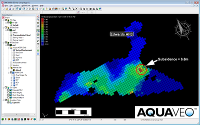
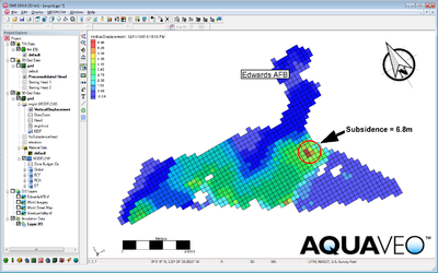
| [[Image:annotations_b.png|thumb|400px|Annotations.]] | |||
| | |||
| | |||
|} | |} | ||
| Line 87: | Line 90: | ||
| [[Image:slope_Failure_white.png|thumb|400px|User-defined cross sections to characterize a slope failure.]] | | [[Image:slope_Failure_white.png|thumb|400px|User-defined cross sections to characterize a slope failure.]] | ||
|- | |- | ||
| [[Image:ayers_rock_white.png|thumb|400px| Ayers Rock - World imagery, ASTER GDEM elevations. ]] | | [[Image:ayers_rock_white.png|thumb|400px| Ayers Rock - World imagery, ASTER GDEM elevations. ]] | ||
| [[Image:chimbo_white.png|thumb|400px| Mount Chimborazo - World imagery, ASTER GDEM elevations. ]] | | [[Image:chimbo_white.png|thumb|400px| Mount Chimborazo - World imagery, ASTER GDEM elevations. ]] | ||
| [[Image:Vertical_Displacement_w.png|thumb|400px|SUB package vertical displacement plot.]] | | [[Image:Vertical_Displacement_w.png|thumb|400px|SUB package vertical displacement plot.]] | ||
|- | |||
| [[Image:annotations_w.png|thumb|400px|Annotations.]] | |||
| | |||
| | |||
|} | |} | ||
{{Navbox GMS}} | {{Navbox GMS}} | ||
Revision as of 15:40, 5 December 2012
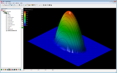
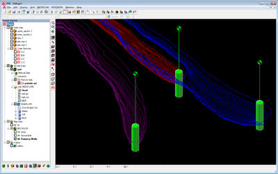
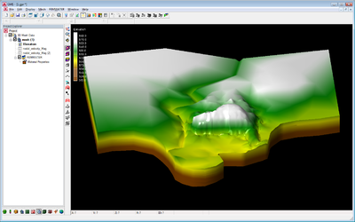
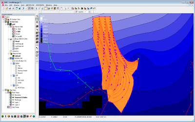
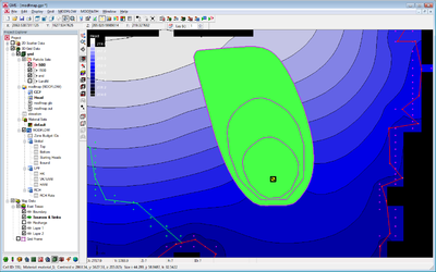
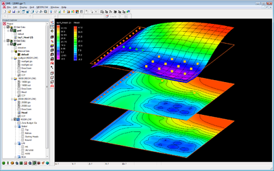
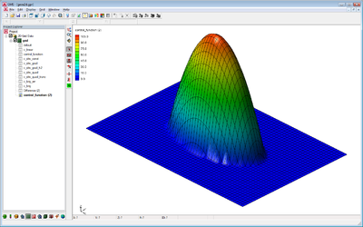
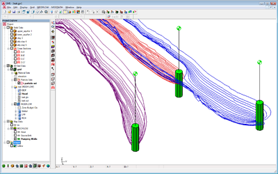
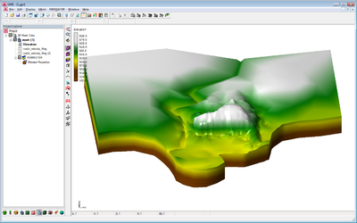
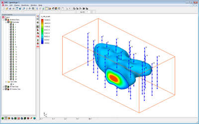
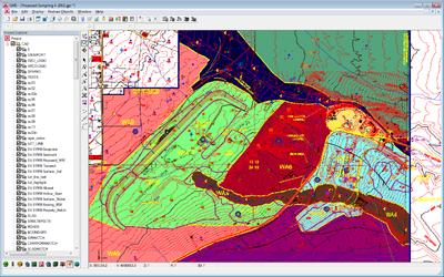
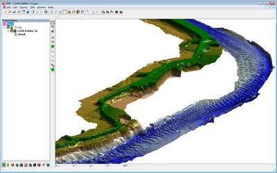
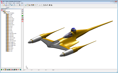
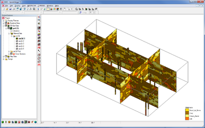
Various images generated by GMS. Feel free to post your cool GMS-generated images here but only if you're OK with them being free and in the public domain. Please follow these guidelines when posting images.
Black background
All these images have the background color set to black.
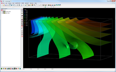
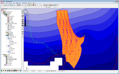
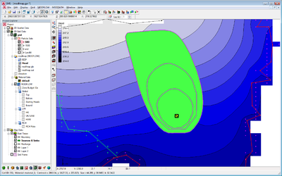
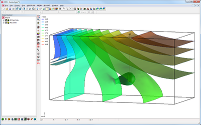
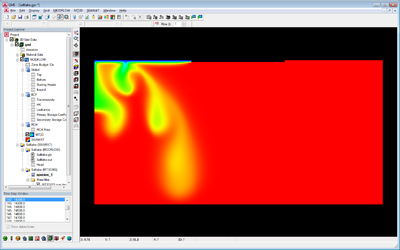 SEAWAT salt lake experiment showing salt water fingering. |
||
White background
Same as above but with the background color set to white.
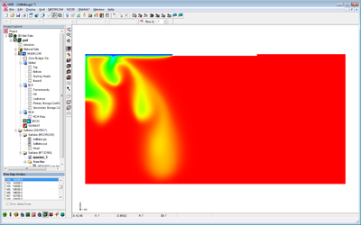 SEAWAT salt lake experiment showing salt water fingering. |
||
GMS – Groundwater Modeling System | ||
|---|---|---|
| Modules: | 2D Grid • 2D Mesh • 2D Scatter Point • 3D Grid • 3D Mesh • 3D Scatter Point • Boreholes • GIS • Map • Solid • TINs • UGrids | |
| Models: | FEFLOW • FEMWATER • HydroGeoSphere • MODAEM • MODFLOW • MODPATH • mod-PATH3DU • MT3DMS • MT3D-USGS • PEST • PHT3D • RT3D • SEAM3D • SEAWAT • SEEP2D • T-PROGS • ZONEBUDGET | |
| Aquaveo | ||

