Category:SMS GIS: Difference between revisions
From XMS Wiki
Jump to navigationJump to search
mNo edit summary |
No edit summary |
||
| (2 intermediate revisions by the same user not shown) | |||
| Line 1: | Line 1: | ||
Articles related to the GIS module in SMS. | Articles related to the GIS module in SMS. | ||
[[Category:SMS Modules]] | [[Category:SMS Modules|G]] | ||
[[Category:GIS]] | |||
Latest revision as of 16:02, 19 February 2014
Articles related to the GIS module in SMS.
Subcategories
This category has the following 3 subcategories, out of 3 total.
R
S
- SMS Raster Dialogs (4 P, 11 F)
Pages in category "SMS GIS"
The following 15 pages are in this category, out of 15 total.
C
Media in category "SMS GIS"
The following 35 files are in this category, out of 35 total.
- Add Data Dialog.jpg 507 × 340; 47 KB
- ConverSelectedRasterToScatter.png 382 × 491; 201 KB
- FeatureContoursGivenElevation.jpg 763 × 519; 148 KB
- Get ArcObject Attributes.png 16 × 16; 919 bytes
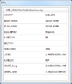
- GIS Attribute Table.png 562 × 396; 22 KB
- GIS CreateContourArc.jpg 284 × 134; 4 KB
- GIS Data in SMS.png 909 × 638; 63 KB
- GIS FeatureContours.jpg 829 × 611; 186 KB
- GIS Get ArcObject Attributes Info.png 383 × 445; 22 KB
- GIS Module Icon.svg 60 × 60; 381 KB
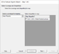
- GIS to Feature Objects Wizard -- Step 1 of 2.jpg 740 × 485; 31 KB
- GIS to Feature Step1.png 479 × 445; 13 KB
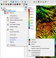
- GISrightMenu.jpg 570 × 585; 146 KB
- Join Table.png 338 × 243; 9 KB
- Map Properties.jpg 487 × 594; 37 KB
- ProfilePlotRaster.png 800 × 570; 145 KB
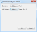
- Raster-to-flood-depths.png 336 × 285; 16 KB
- Raster4.png 800 × 486; 172 KB
- RasterDialog.png 567 × 431; 11 KB
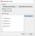
- RasterDisplayOptions.png 405 × 416; 13 KB
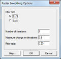
- RasterSmoothingOpts.jpg 280 × 270; 23 KB
- RasterToScatter.png 364 × 147; 5 KB
- RasterToScatterExample.jpg 689 × 514; 182 KB
- ResampledRasterData.jpg 780 × 510; 148 KB
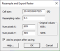
- ResampleExportRaster.png 278 × 237; 9 KB
- Select ArcObject Tool.svg 56 × 62; 4 KB
- Select Object tool.png 9 × 16; 339 bytes
- Select Object Tool.svg 26 × 51; 2 KB
- SMS GIS Display.png 817 × 573; 14 KB
- SMS GIS DisplayOpts.png 817 × 573; 20 KB
- SMSrasterOptions.jpg 316 × 188; 19 KB
- TrimmedRaster1.jpg 904 × 533; 187 KB
- TrimmedRaster2.jpg 894 × 520; 215 KB
- TrimmedRaster3.jpg 876 × 523; 112 KB
- WMSIcon GIS Module.png 16 × 16; 767 bytes


