WMS:Quick Tour -National Streamflow Statistics (NSS): Difference between revisions
From XMS Wiki
Jump to navigationJump to search
No edit summary |
No edit summary |
||
| Line 5: | Line 5: | ||
Users can also build an NSS Region coverage, which enables WMS to automatically select the correct regression equation(s) and compute percentages of any overlapping areas. | Users can also build an NSS Region coverage, which enables WMS to automatically select the correct regression equation(s) and compute percentages of any overlapping areas. | ||
[[Image:National Flood Frequency Regression Method.jpg]] [[Image:NFF_2.jpg]] | [[Image:National Flood Frequency Regression Method.jpg|400 px]] [[Image:NFF_2.jpg]] | ||
Revision as of 16:02, 9 January 2017
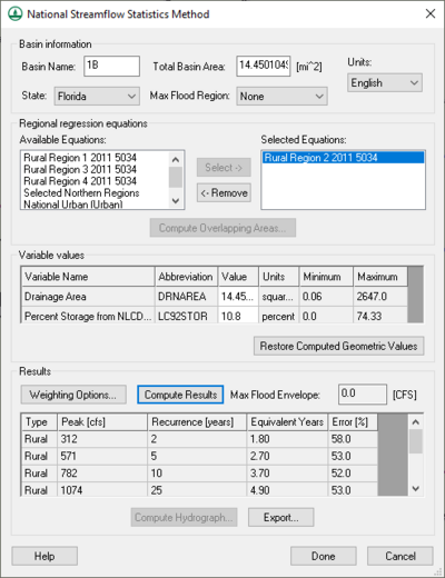
The National Flood Frequency (NSS) program is a compilation of state-wide regression equations which were compiled as a joint effort by the USGS, FEMA, and FHWA.
The NSS interface in WMS uses the current NSS database provided by the USGS. Most of the equations are a function of basin area, stream length, and other parameters easily computed by WMS.
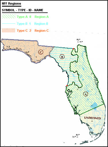
Users can also build an NSS Region coverage, which enables WMS to automatically select the correct regression equation(s) and compute percentages of any overlapping areas.

