File:WMS Extract Features.png: Difference between revisions
From XMS Wiki
Jump to navigationJump to search
No edit summary |
No edit summary |
||
| Line 1: | Line 1: | ||
''Extract Features'' tool that allows directly converting raster data to stream and ridge/embankment centerlines. | |||
[[Category:WMS Map]] | |||
Latest revision as of 21:02, 8 January 2021
Extract Features tool that allows directly converting raster data to stream and ridge/embankment centerlines.
File history
Click on a date/time to view the file as it appeared at that time.
| Date/Time | Thumbnail | Dimensions | User | Comment | |
|---|---|---|---|---|---|
| current | ★ Approved revision 20:09, 8 January 2021 | 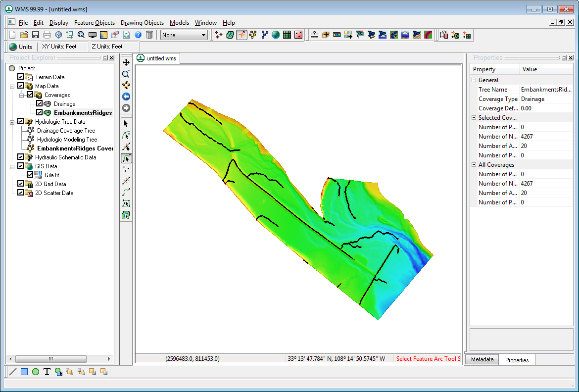 | 1,170 × 792 (226 KB) | Jcreer (talk | contribs) |
You cannot overwrite this file.
File usage
The following page uses this file: