WMS:Quick Tour - Floodplain Delineation: Difference between revisions
From XMS Wiki
Jump to navigationJump to search
No edit summary |
No edit summary |
||
| Line 2: | Line 2: | ||
[[Image:FloodplainDelineationQuick2.jpg]] | [[Image:FloodplainDelineationQuick2.jpg]] [[Image:RiverDepthLegend.gif]] | ||
[[Image:RiverDepthLegend.gif]] | |||
Revision as of 19:03, 3 June 2015
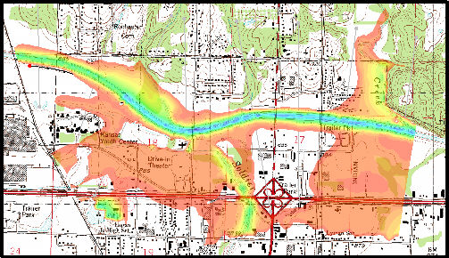
Delineating a floodplain in WMS is a quick way to get an estimate of inundation limits. Users can create maps depicting flood extent and flood depth.
