WMS:Quick Tour - Creating Watershed Models Directly
From XMS Wiki
Jump to navigationJump to search
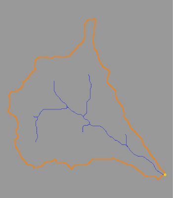
Sometimes the simplest solution to creating a watershed model is to use the GIS data directly to delineate boundaries. In the absence of good elevation data, or when data already exists in a GIS, WMS allows the user to use these data to set up complete watershed models.

