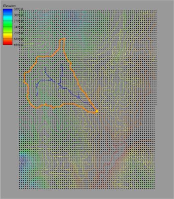
WMS:Quick Tour - Storing the Results of DEM Delineation
From XMS Wiki
Jump to navigationJump to search
After delineating a watershed and sub-basin boundaries using a DEM, the results are always converted to points (outlets), lines (streams), and polygons (boundaries) for more convenient data storage and manipulation.

