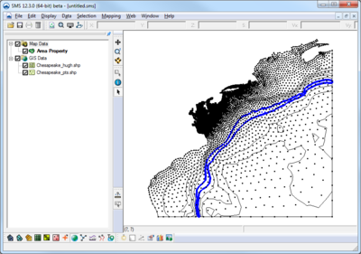
Template:SMS at a glance gis module
From XMS Wiki
Jump to navigationJump to search
{{{Heading}}}
- Open and visualize GIS data
- Supports ESRI and MapInfo formats
- Uses Mapobjects for ESRI files if available to use ArcGIS visualization options
- Open and visualize raster data
- GIS data can be converted to feature data (map module)
- Convert raster to TIN (scatter set)
- Interpolate data from raster to TINs /2D mesh/2D grid
