Template:Nodata to Polygon
From XMS Wiki
Revision as of 17:52, 17 December 2021 by Jcreer (talk | contribs) (Protected "Template:Nodata to Polygon" ([Edit=Allow only administrators] (indefinite) [Move=Allow only administrators] (indefinite)))
Nodata to Polygon
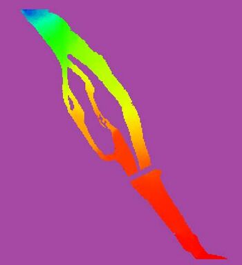
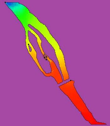
The Nodata to Polygon tool creates a new coverage with polygons bounding all of the active regions of the raster including inactive regions that fall within an interior polygon.
Inactive regions of a raster are determined by the NODATA value of the raster.
Input Parameters
- Input raster – The raster for which the active boundary polygon will be created.
- Number of cells required to make a polygon – The number of cells required to make a polygon. Any interior areas that contain less raster cells than this number will not be enveloped with a polygon.
Output Parameters
- Output coverage – The new coverage to be created, containing the boundary polygon for the active region of the input raster.
Current Location in Toolbox
Rasters/Nodata to Polygon

