Template:Polygons from Index Raster
From XMS Wiki
Jump to navigationJump to search
Polygons from Index Raster
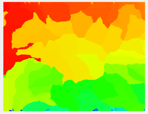
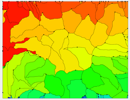
The Polygons from Index Raster tool converts index (normally integer-valued) raster data to polygons.
Input Parameters
- Input index raster – Select the input index raster.
Output Parameters
- Index polygon coverage – The output polygon coverage created from the index raster.
Current Location in toolbox
Coverages/Polygons from Index Raster

