Template:Arcs from UGrid Points
From XMS Wiki
Jump to navigationJump to search
Arcs from UGrid Points
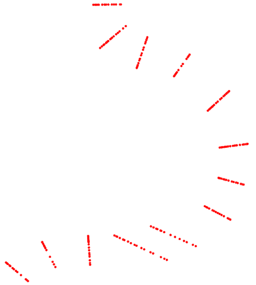
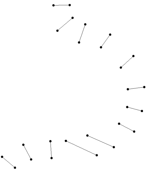
The Arcs from UGrid Points tool can be used to find clusters of points on a UGrid that are close to each other and convert these clusters to arcs.
For example, one use case might be to take a set of cross section survey points and convert these points to cross section lines as shown in the images below:
Input Parameters
- Input grid – The input UGrid or mesh to process.
- Number of nearest neighbors – The number of nearest neighboring points to check.
- Connect isolated points – Whether to connect isolated points.
- Enforce max distance – Whether to enforce the maximum distance between points.
- Max distance – The maximum distance between points.
Output Parameters
- Output coverage name – The name of the output coverage.
Current Location in toolbox
Coverages/Arcs from UGrid Points

