Template:Mapping Table Tool
From XMS Wiki
Jump to navigationJump to search
Mapping Table
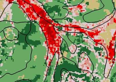
Creates an index map dataset and map table from the UGrid, soil data, and land use data. The grid is intersected with polygon shapefiles and/or rasters to identify the soil and/or land use code at each cell center. Either soil data, or land use data, or both may be used.
Input Parameters
- Use soil data – Select to use soil shapefiles, such as those available from the Statsgo, Ssurgo, or Harmonized World Soil Database web services.
- Soil shapefiles – Table to add one or more soil shapefiles. Shapefiles must be polygon shapefiles and must include a “TEXTURE” field. If the shapefiles overlap, the last one will govern in the overlapped area.
- Use land use data – Select to use land use data which can include shapefiles or rasters, such as those available from the USGS Land Use Shapefile database, the global land cover shapefile database, or those available from the USGS NLCD land use raster database, the CORINE european land use raster database, or the NOAA C-CAP land cover raster database.
- Land use files – Table to add one or more land use files. Files can be either a shapefile or a raster. In either case, a CSV file containing land use code names must also be specified. If the file is a shapefile, the field corresponding to LUCODE (land use code) must be specified. If the files overlap, the last one will govern in the overlapped area.
- Index map (dataset) name – Name of the index map dataset to be created.
Output Parameters
- Dataset – The index map dataset.
- Table – The map table.
Current Location
Available only via the GSSHA Map Tables dialog.
