WMS:Quick Tour -TR-20 - Lag Time
From XMS Wiki
Jump to navigationJump to search
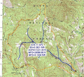
Lag time values that are used as part of the SCS synthetic unit hydrograph method can be defined from geometric data computed from a TIN or DEM.
