WMS:Quick Tour - Terrain Data
From XMS Wiki
Jump to navigationJump to search
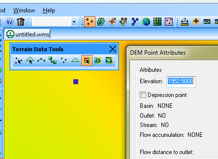
Users can use WMS to edit terrain data, such as Triangulated Irregular Network (TIN) and Digital Elevation Model (DEM) data.
Editing capabilities include the following:
- Add/move/delete TIN vertices
- Add breakline(s) to TIN
- Swap TIN triangle edges
- Trim TIN and DEM
- Retriangulate TIN
- Edit TIN and DEM elevations

