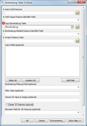
| Display title | File:AHGW Subsurface Analyst Features - BoreholeLog Table to Points.png |
| Default sort key | AHGW Subsurface Analyst Features - BoreholeLog Table to Points.png |
| Page length (in bytes) | 197 |
| Namespace | File |
| Page ID | 28736 |
| Page content language | en - English |
| Page content model | wikitext |
| Indexing by robots | Allowed |
| Number of redirects to this page | 0 |
| Hash value | 03553ece5ccab6f7e7fa6c6eec17a90fb03f27f1 |
| Page image |  |
| Edit | Allow all users (infinite) |
| Move | Allow all users (infinite) |
| Upload | Allow all users (infinite) |
| Page creator | Jmonson (talk | contribs) |
| Date of page creation | 20:03, 28 August 2019 |
| Latest editor | Jmonson (talk | contribs) |
| Date of latest edit | 20:03, 28 August 2019 |
| Total number of edits | 1 |
| Total number of distinct authors | 1 |
| Recent number of edits (within past 90 days) | 0 |
| Recent number of distinct authors | 0 |
