File:GoogleEarth.png: Difference between revisions
From XMS Wiki
Jump to navigationJump to search
(Google Earth depicting Western Atlantic Mesh KMZ file) |
No edit summary |
||
| (2 intermediate revisions by the same user not shown) | |||
| Line 1: | Line 1: | ||
Google Earth depicting Western Atlantic Mesh KMZ file | *Google Earth depicting Western Atlantic Mesh KMZ file | ||
*A 2D Mesh inside Google Earth | |||
[[Category:General Information]] | |||
[[Category:File Format]] | |||
[[Category:Needs Update]] | |||
Latest revision as of 14:49, 25 May 2018
- Google Earth depicting Western Atlantic Mesh KMZ file
- A 2D Mesh inside Google Earth
File history
Click on a date/time to view the file as it appeared at that time.
| Date/Time | Thumbnail | Dimensions | User | Comment | |
|---|---|---|---|---|---|
| current | ★ Approved revision 19:59, 15 August 2007 | 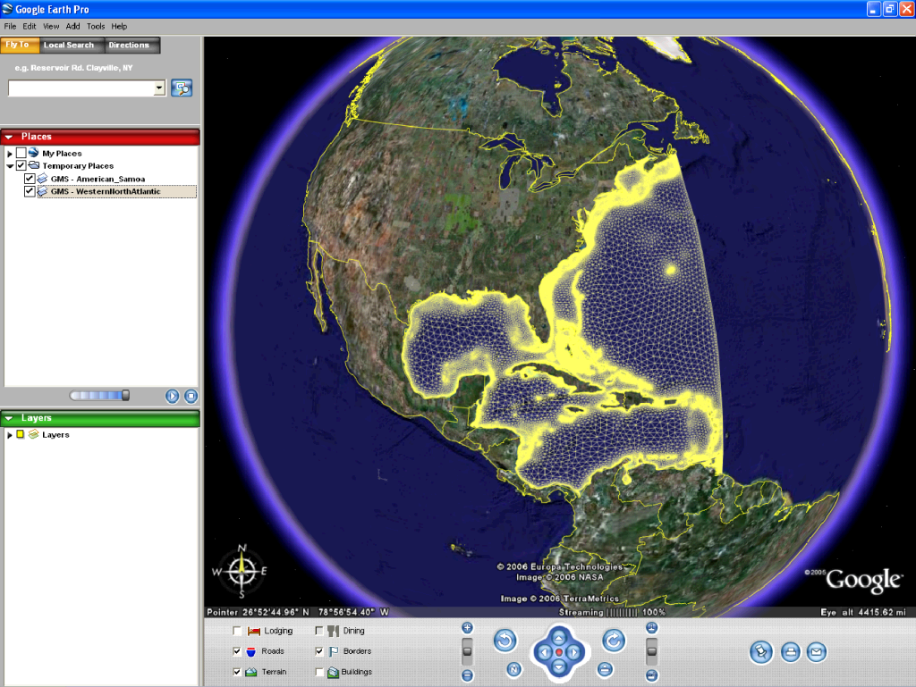 | 1,024 × 769 (468 KB) | Unjedai (talk | contribs) | Google Earth depicting Western Atlantic Mesh KMZ file |
You cannot overwrite this file.
File usage
The following page uses this file: