File:IndexMaps.png
From XMS Wiki
Jump to navigationJump to search
Size of this preview: 709 × 600 pixels. Other resolution: 799 × 676 pixels.
Original file (799 × 676 pixels, file size: 775 KB, MIME type: image/png)
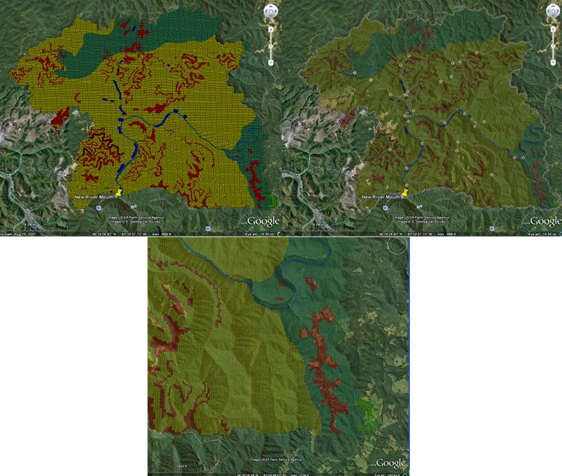
Export index map cells to Google Earth as vector polygons
File history
Click on a date/time to view the file as it appeared at that time.
| Date/Time | Thumbnail | Dimensions | User | Comment | |
|---|---|---|---|---|---|
| current | ★ Approved revision 16:35, 22 September 2009 | | 799 × 676 (775 KB) | Cmsmemoe (talk | contribs) |
You cannot overwrite this file.
File usage
The following page uses this file: