File:RasterDisplayAndElevationMenu.png: Difference between revisions
From XMS Wiki
Jump to navigationJump to search
(Raster Display and Elevation Menu) |
No edit summary |
||
| (2 intermediate revisions by the same user not shown) | |||
| Line 1: | Line 1: | ||
Raster Display and Elevation Menu | Raster Display and Elevation Menu | ||
[[Category:WMS General Information]] | |||
[[Category:WMS Menus]] | |||
There are various options to view and convert raster elevation data grids to data that can be used in WMS for hydrologic modeling. There are also options for other types of raster data. | |||
Latest revision as of 15:23, 25 May 2018
Raster Display and Elevation Menu
There are various options to view and convert raster elevation data grids to data that can be used in WMS for hydrologic modeling. There are also options for other types of raster data.
File history
Click on a date/time to view the file as it appeared at that time.
| Date/Time | Thumbnail | Dimensions | User | Comment | |
|---|---|---|---|---|---|
| current | ★ Approved revision 21:46, 18 October 2012 | 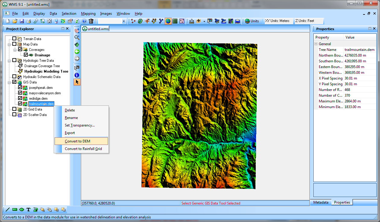 | 1,260 × 737 (510 KB) | Cmsmemoe (talk | contribs) | Raster Display and Elevation Menu |
You cannot overwrite this file.
File usage
The following page uses this file: