File:VectorDataConvert.png: Difference between revisions
From XMS Wiki
Jump to navigationJump to search
No edit summary |
No edit summary |
||
| (3 intermediate revisions by 2 users not shown) | |||
| Line 1: | Line 1: | ||
[[Category:WMS General Information]] | [[Category:WMS General Information]] | ||
[[Category:Project Explorer images]] | |||
[[Category:WMS Menus]] | |||
GIS Vector Data can be converted to a shapefile. | |||
Latest revision as of 15:10, 20 February 2017
GIS Vector Data can be converted to a shapefile.
File history
Click on a date/time to view the file as it appeared at that time.
| Date/Time | Thumbnail | Dimensions | User | Comment | |
|---|---|---|---|---|---|
| current | ★ Approved revision 21:58, 18 October 2012 | 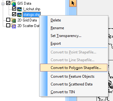 | 364 × 325 (14 KB) | Cmsmemoe (talk | contribs) |
You cannot overwrite this file.
File usage
The following page uses this file: