Uploads by Jcreer
From XMS Wiki
Jump to navigationJump to search
This special page shows all uploaded files.
| Date | Name | Thumbnail | Size | Description | Versions |
|---|---|---|---|---|---|
| 14:44, 30 May 2017 | GIS Online Vector Image Icon.svg (file) | 292 KB | 1 | ||
| 14:44, 30 May 2017 | GIS Online Vector Raster Image icon.svg (file) | 292 KB | 1 | ||
| 21:13, 7 December 2021 | Trimrastertool2.png (file) |  |
298 KB | 1 | |
| 14:41, 30 May 2017 | GIS Folder.svg (file) |  |
303 KB | 1 | |
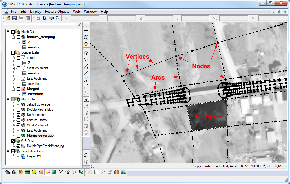
| 15:37, 15 November 2016 | Featstamp.png (file) |  |
310 KB | 2 | |
| 16:23, 22 August 2019 | Archydrogw framework.jpg (file) |  |
311 KB | 1 | |
| 16:48, 14 April 2015 | WMS Screen.jpg (file) |  |
311 KB | 2 | |
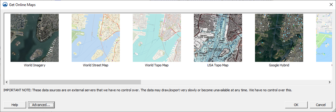
| 22:03, 27 July 2020 | GetOnlineMapsDialog.png (file) |  |
338 KB | 4 | |
| 17:00, 10 October 2017 | Map Data Set.png (file) |  |
343 KB | 3 | |
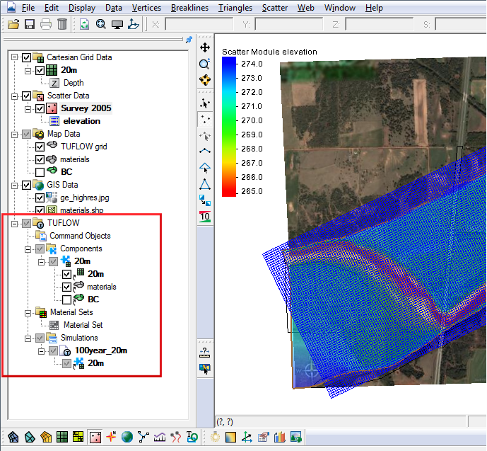
| 14:42, 8 August 2017 | Tuflow links.png (file) |  |
344 KB | 2 | |
| 14:30, 24 May 2017 | GIS Module Icon.svg (file) | 381 KB | 1 | ||
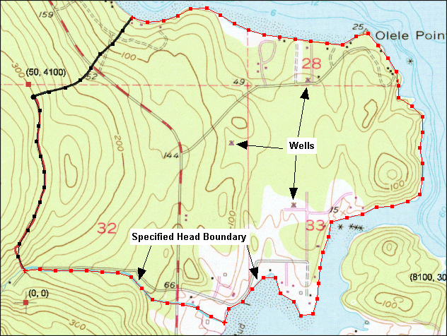
| 15:00, 26 April 2016 | Samp map.png (file) |  |
394 KB | 2 | |
| 15:51, 9 June 2016 | Multiple DEM Basins.png (file) |  |
397 KB | 2 | |
| 15:03, 4 May 2016 | DisplayOrderOffPlanView.png (file) |  |
403 KB | 2 | |
| 15:53, 9 June 2016 | RoadAsStreamsDelineation.png (file) |  |
403 KB | 2 | |
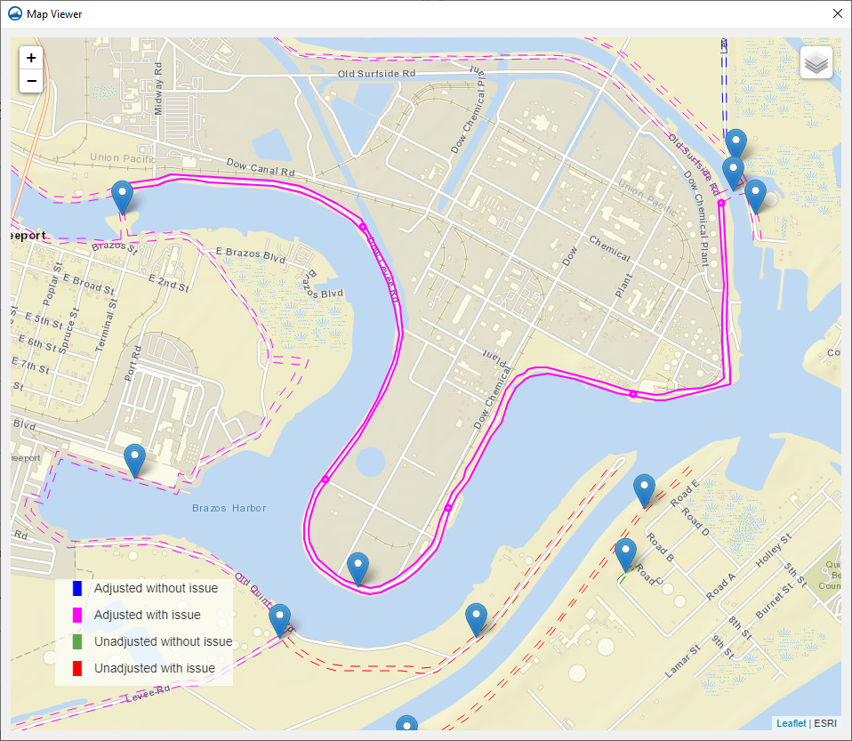
| 17:45, 18 November 2021 | MapViewerUnadjustedIssue.png (file) |  |
465 KB | 1 | |
| 16:24, 22 August 2019 | Archydrogw overview.jpg (file) |  |
473 KB | 1 | |
| 19:14, 1 June 2020 | GIS items in WMS.png (file) |  |
486 KB | 1 | |
| 20:33, 16 May 2014 | Wms-image-library.png (file) |  |
511 KB | 1 | |
| 22:13, 20 December 2019 | Onlineimages14x9 2.PNG (file) |  |
519 KB | 2 | |
| 20:42, 20 December 2019 | Vectorvisual.png (file) |  |
529 KB | 2 | |
| 15:40, 17 April 2017 | Functionalsurface.png (file) |  |
542 KB | 1 | |
| 15:59, 7 May 2024 | DatasetCalculatorExamples.sms.zip (file) | 570 KB | 1 | ||
| 16:25, 22 August 2019 | Simulation Features.png (file) |  |
636 KB | 1 | |
| 16:37, 29 August 2017 | DynamicImagery.svg (file) |  |
655 KB | 1 | |
| 20:19, 31 October 2012 | LaplacianInterp.jpg (file) |  |
659 KB | 1 | |
| 21:13, 20 December 2019 | Interface1.PNG (file) |  |
717 KB | 2 | |
| 17:22, 13 January 2016 | GetDataTool2.png (file) |  |
731 KB | 2 | |
| 17:15, 13 January 2016 | GetDataTool1.png (file) |  |
731 KB | 2 | |
| 17:14, 10 March 2022 | SRH BC Error models.zip (file) | 758 KB | 1 | ||
| 22:40, 20 May 2014 | SMS TUFLOW2D.jpg (file) |  |
774 KB | 2 | |
| 21:53, 28 December 2017 | Lidar Return.svg (file) |  |
787 KB | 1 | |
| 16:40, 31 July 2019 | Modell Fischtreppe mit Wasser.png (file) |  |
975 KB | 1 | |
| 22:17, 20 December 2019 | Hy8wms1.PNG (file) |  |
990 KB | 2 | |
| 22:12, 20 December 2019 | Onlineimages14x9 1.PNG (file) |  |
1,013 KB | 2 | |
| 17:19, 18 November 2021 | MapViewerAdjustedwithIssue.png (file) |  |
1.01 MB | 1 | |
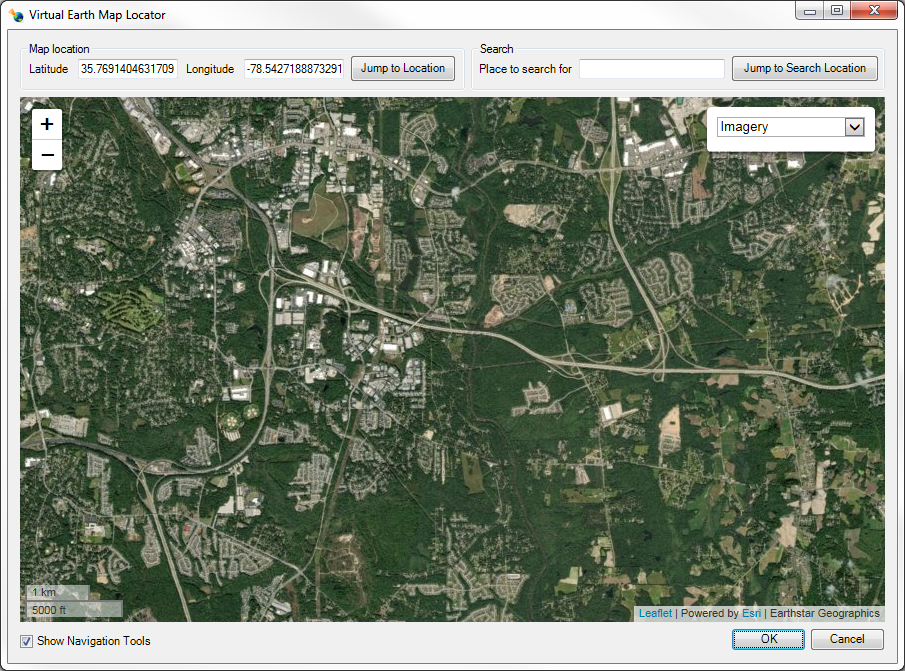
| 16:52, 4 January 2019 | ImportFromWeb-VirtualEarthMapLocator.png (file) |  |
1.01 MB | 4 | |
| 17:14, 18 November 2021 | Mapviewer.png (file) |  |
1.02 MB | 1 | |
| 22:16, 20 December 2019 | Wmsras1.PNG (file) |  |
1.03 MB | 2 | |
| 21:13, 7 December 2021 | Trimrastertool1.png (file) |  |
1.04 MB | 1 | |
| 17:38, 20 April 2018 | CityWaterMapPage.png (file) |  |
1.07 MB | 4 | |
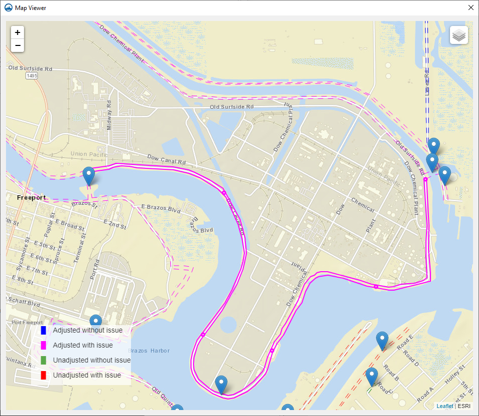
| 17:19, 18 November 2021 | MapViewerAdjustedNoIssue.png (file) |  |
1.19 MB | 1 | |
| 18:40, 8 January 2018 | Citywater1.png (file) |  |
1.31 MB | 3 | |
| 20:18, 31 October 2012 | LaplacianInterpolation zoomed in.png (file) |  |
1.59 MB | 1 | |
| 17:59, 10 March 2022 | SRH MaterialsError.zip (file) | 1.68 MB | 1 | ||
| 20:09, 8 January 2021 | WMS Web tile.png (file) |  |
1.86 MB | 1 | |
| 16:54, 24 February 2016 | HY-8.ogg (file) | 1.9 MB | 1 | ||
| 19:39, 10 March 2022 | SRH PressurePavedError.zip (file) | 3.41 MB | 1 | ||
| 18:08, 10 March 2022 | SRH MonitorPreError.zip (file) | 4.37 MB | 1 | ||
| 21:50, 10 March 2022 | SRH RestartError.zip (file) | 4.59 MB | 1 |