File list
From XMS Wiki
Jump to navigationJump to search
This special page shows all uploaded files.
| Date | Name | Thumbnail | Size | User | Description | Versions |
|---|---|---|---|---|---|---|
| 21:14, 17 May 2008 | GSDA UtahArcView.png (file) |  |
492 KB | Eshaw | 1 | |
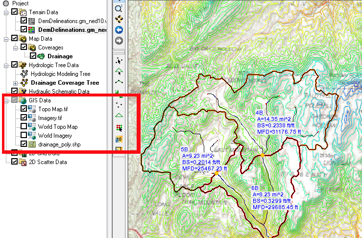
| 19:14, 1 June 2020 | GIS items in WMS.png (file) |  |
486 KB | Jcreer | 1 | |
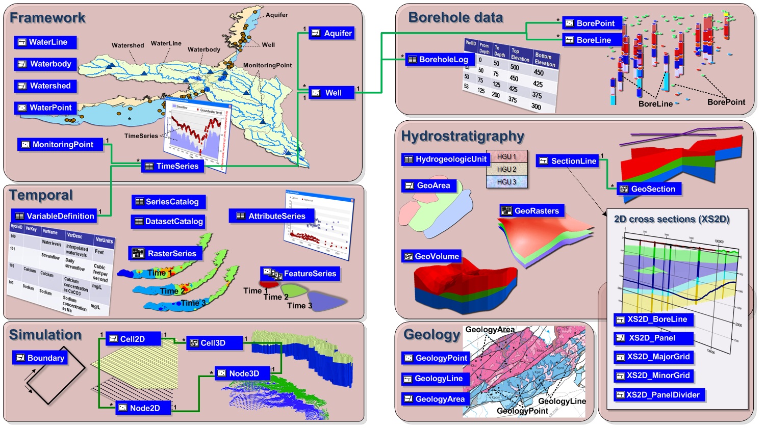
| 16:24, 22 August 2019 | Archydrogw overview.jpg (file) |  |
473 KB | Jcreer | 1 | |
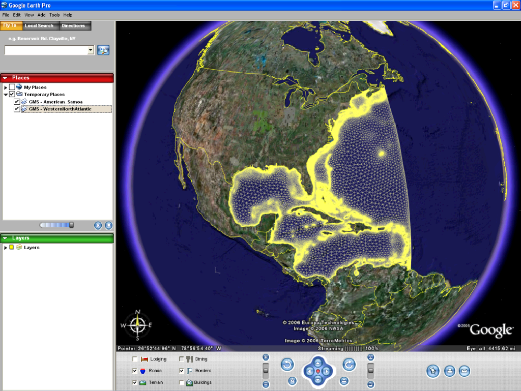
| 19:59, 15 August 2007 | GoogleEarth.png (file) |  |
468 KB | Unjedai | Google Earth depicting Western Atlantic Mesh KMZ file | 1 |
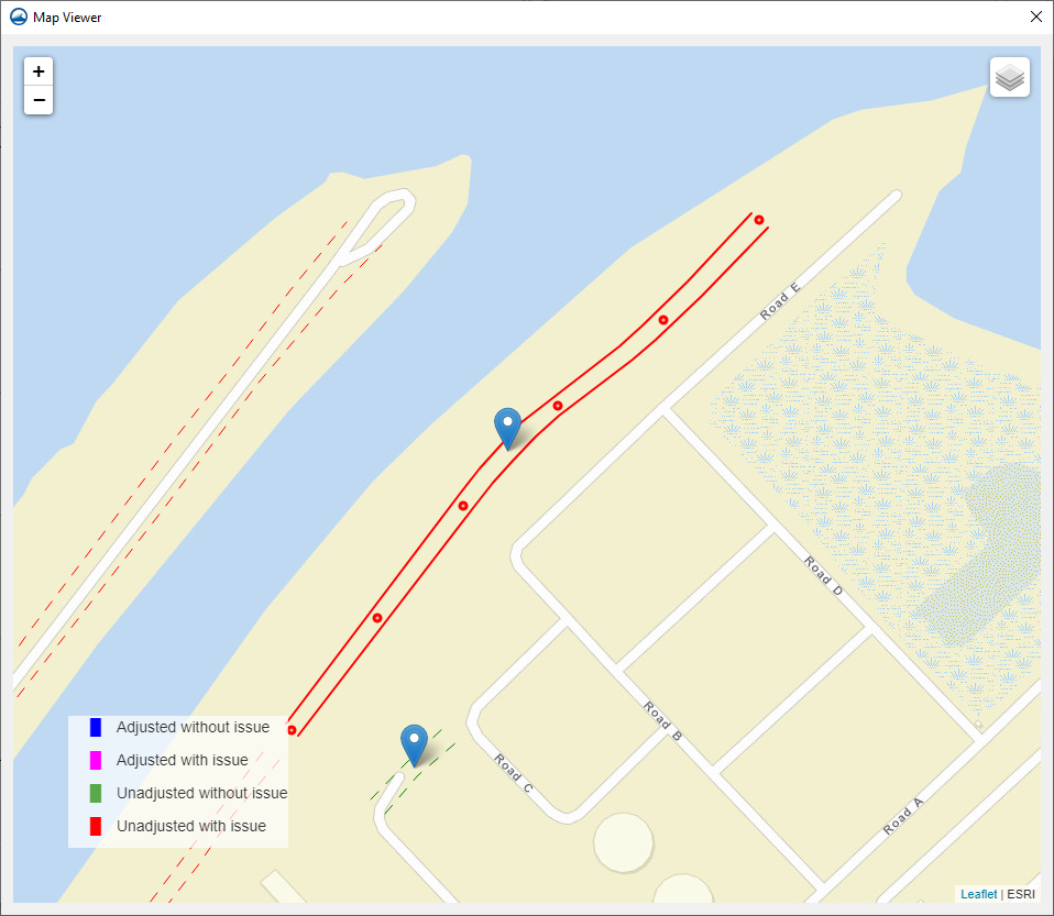
| 17:45, 18 November 2021 | MapViewerUnadjustedIssue.png (file) |  |
465 KB | Jcreer | 1 | |
| 14:52, 23 May 2007 | Animation1.gif (file) |  |
462 KB | Cballard | 1 | |
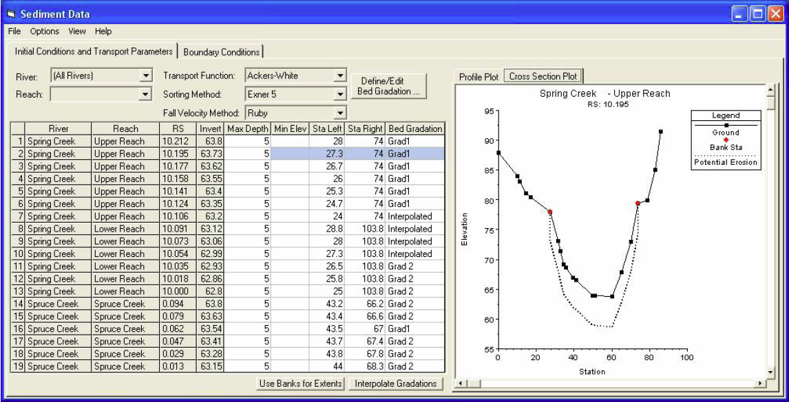
| 01:13, 4 March 2009 | Sediment.png (file) |  |
456 KB | Cmsmemoe | 1 | |
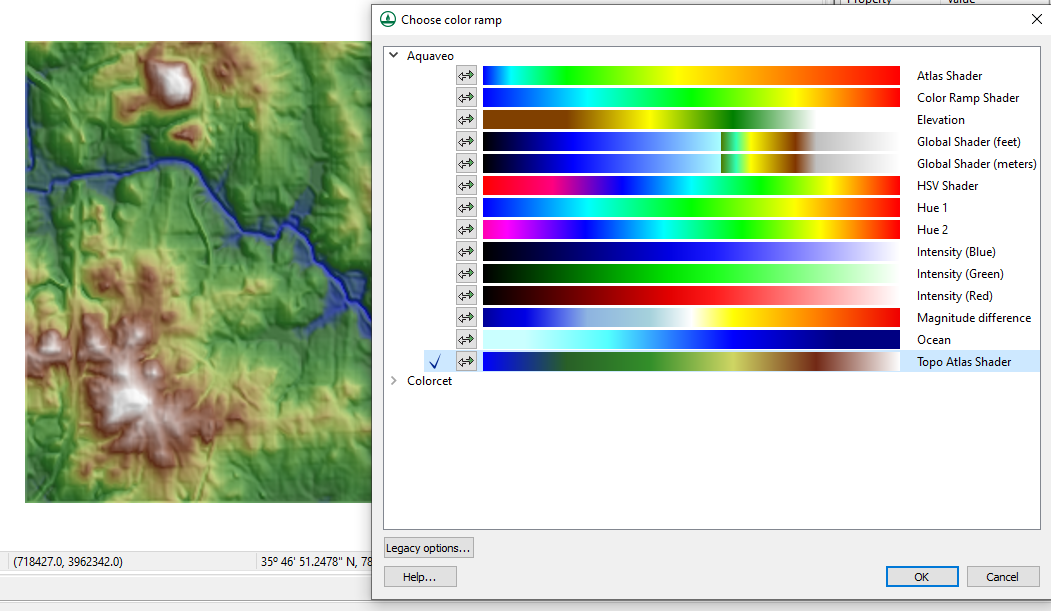
| 06:21, 8 March 2023 | ColorPalettes.png (file) |  |
451 KB | Cmsmemoe | Choose color ramp dialog in WMS. | 1 |
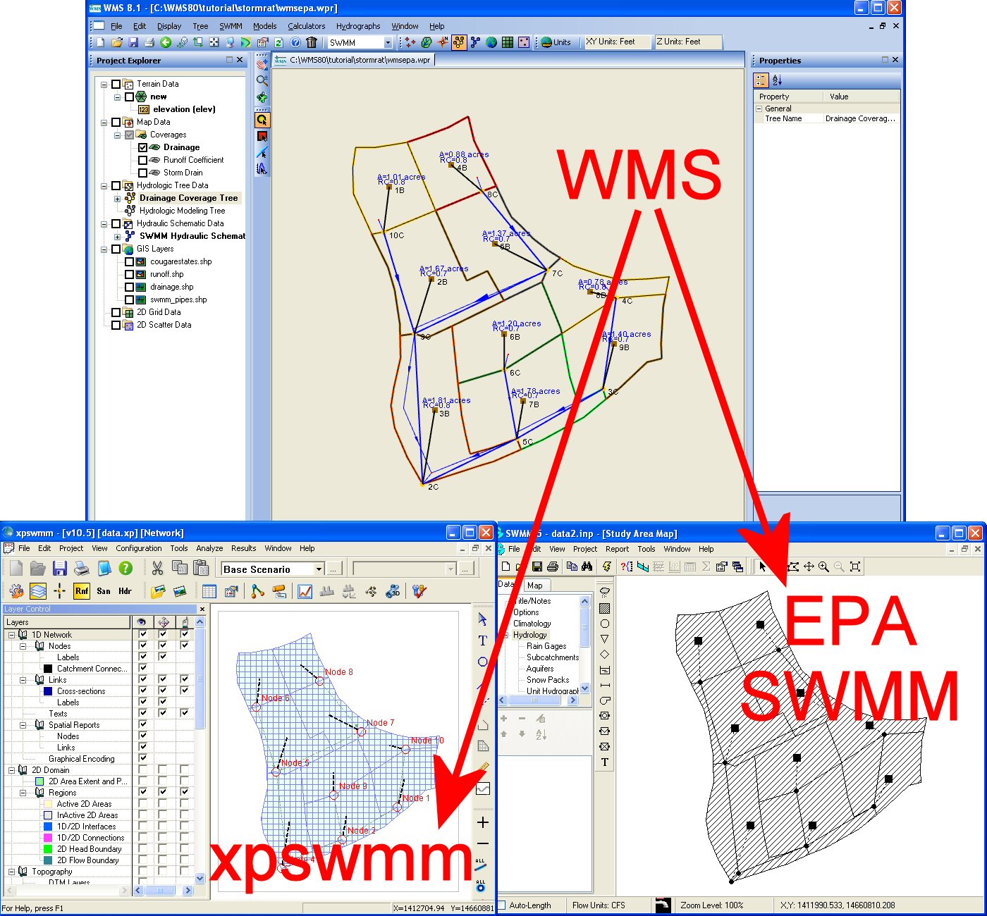
| 18:02, 18 March 2008 | SwmmInterface.jpg (file) |  |
417 KB | Cmsmemoe | 1 | |
| 15:53, 9 June 2016 | RoadAsStreamsDelineation.png (file) |  |
403 KB | Jcreer | 2 | |
| 15:03, 4 May 2016 | DisplayOrderOffPlanView.png (file) |  |
403 KB | Jcreer | 2 | |
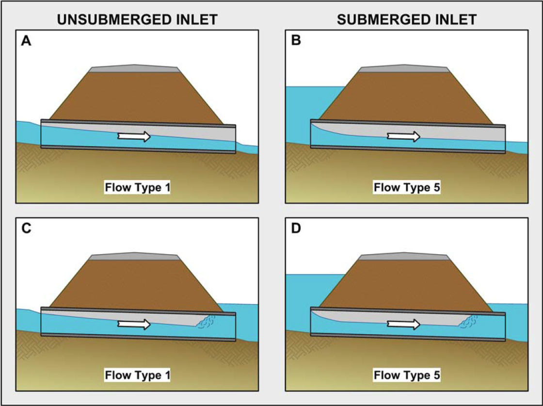
| 19:07, 6 October 2011 | InletControlFlowTypes.png (file) |  |
403 KB | Cmsmemoe | 3 | |
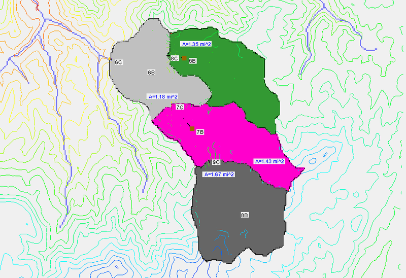
| 15:51, 9 June 2016 | Multiple DEM Basins.png (file) |  |
397 KB | Jcreer | 2 | |
| 15:00, 26 April 2016 | Samp map.png (file) |  |
394 KB | Jcreer | 2 | |
| 15:58, 15 May 2008 | GSDADraper7.5Quad.png (file) |  |
386 KB | Eshaw | 1 | |
| 14:30, 24 May 2017 | GIS Module Icon.svg (file) | 381 KB | Jcreer | 1 | ||
| 16:36, 22 September 2009 | OverlandFlowBcStormSurge.png (file) |  |
376 KB | Cmsmemoe | 1 | |
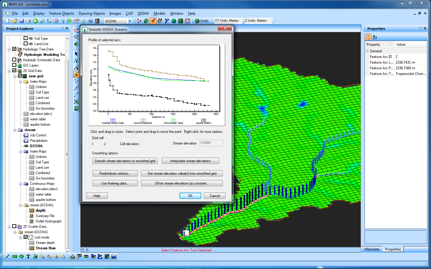
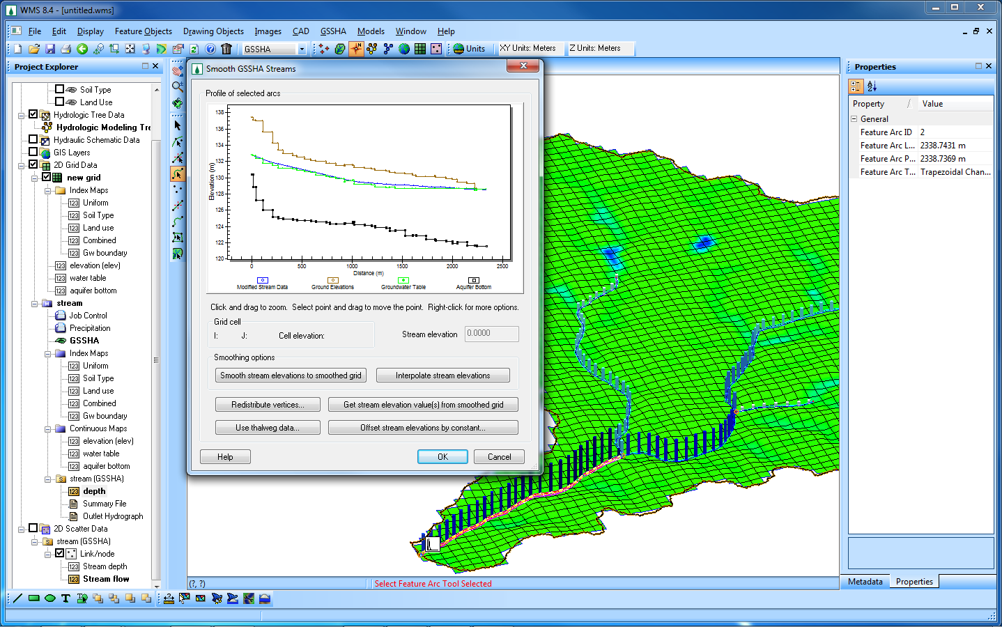
| 22:13, 7 February 2011 | GsshaSmoothStreams b.png (file) |  |
371 KB | Cmsmemoe | GSSHA Groundwater Model with stream smoothing dialog. | 1 |
| 18:42, 15 June 2011 | HY8ModelingWizardWMSScreenshot.png (file) |  |
369 KB | EJones | WMS Screenshot of the arcs used in HY-8 Modeling. | 1 |
| 22:14, 7 February 2011 | GsshaSmoothStreams w.png (file) |  |
368 KB | Cmsmemoe | GSSHA Groundwater Model with stream smoothing dialog. | 1 |
| 16:56, 23 August 2013 | SAF.pdf (file) | 368 KB | Cbarlow | 1 | ||
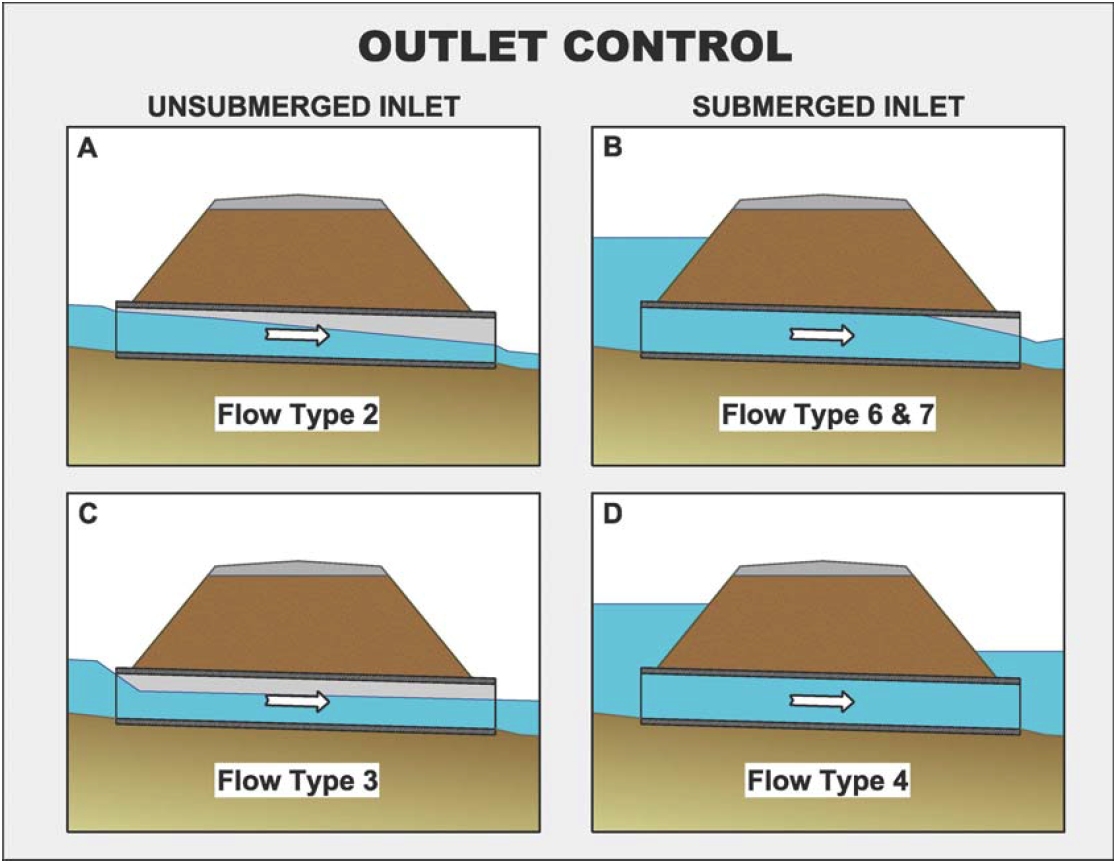
| 17:55, 6 October 2011 | OutletControlFlowTypes.png (file) |  |
365 KB | Cmsmemoe | Outlet Control Flow Types | 1 |
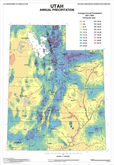
| 21:13, 17 May 2008 | Utah's precipitation map.png (file) |  |
359 KB | Eshaw | 1 | |
| 20:51, 2 December 2010 | Layer contours and 2d grid w.png (file) |  |
357 KB | Unjedai | 1 | |
| 20:51, 2 December 2010 | Layer contours and 2d grid b.png (file) |  |
356 KB | Unjedai | 1 | |
| 22:12, 7 February 2011 | GsshaGw b.png (file) |  |
349 KB | Cmsmemoe | GSSHA Groundwater Model with stream depths. | 1 |
| 22:14, 7 February 2011 | GsshaGw w.png (file) |  |
349 KB | Cmsmemoe | GSSHA Groundwater Model with stream depths. | 1 |
| 20:51, 17 May 2008 | GSDA PrecipitationNRCS.png (file) |  |
347 KB | Eshaw | 1 | |
| 20:00, 16 August 2023 | Srp watersheds from raster 2.png (file) |  |
346 KB | Cmsmemoe | 1 | |
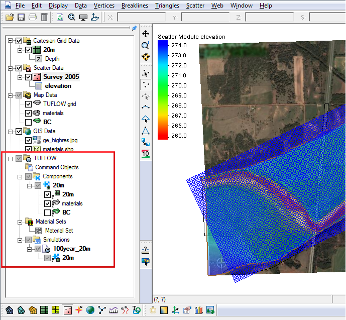
| 14:42, 8 August 2017 | Tuflow links.png (file) |  |
344 KB | Jcreer | 2 | |
| 17:00, 10 October 2017 | Map Data Set.png (file) |  |
343 KB | Jcreer | 3 | |
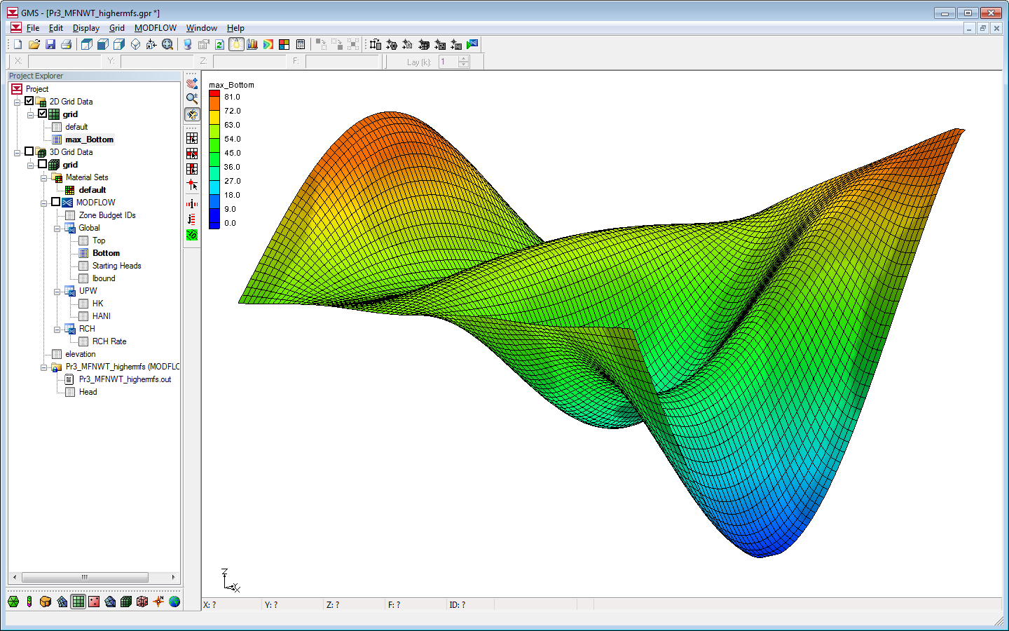
| 21:16, 28 February 2012 | Modflow-nwt b.png (file) |  |
339 KB | Unjedai | 1 | |
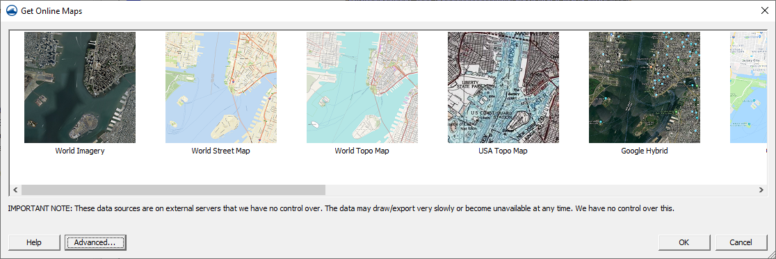
| 22:03, 27 July 2020 | GetOnlineMapsDialog.png (file) |  |
338 KB | Jcreer | 4 | |
| 17:15, 31 March 2011 | SouthCarolinaOblique.png (file) |  |
337 KB | Alanlemon | 1 | |
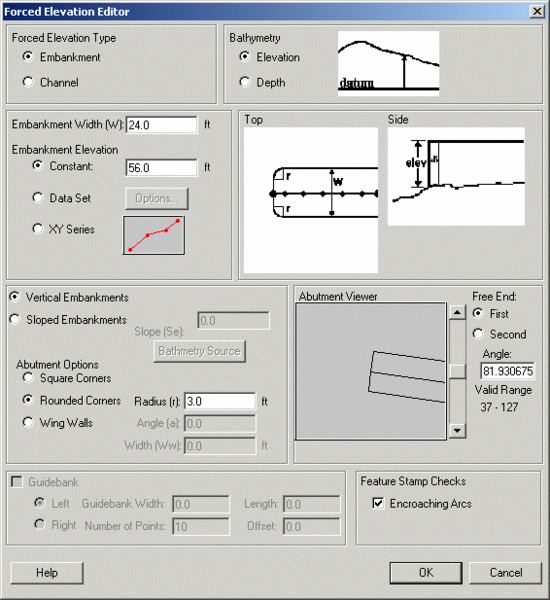
| 20:31, 26 February 2009 | Embankments.png (file) |  |
331 KB | Cmsmemoe | 1 | |
| 21:04, 28 January 2020 | WMS Layout.png (file) |  |
326 KB | Jmonson | The WMS window is organized into the following sections. Category:WMS Quick Tour Category:WMS Images | 1 |
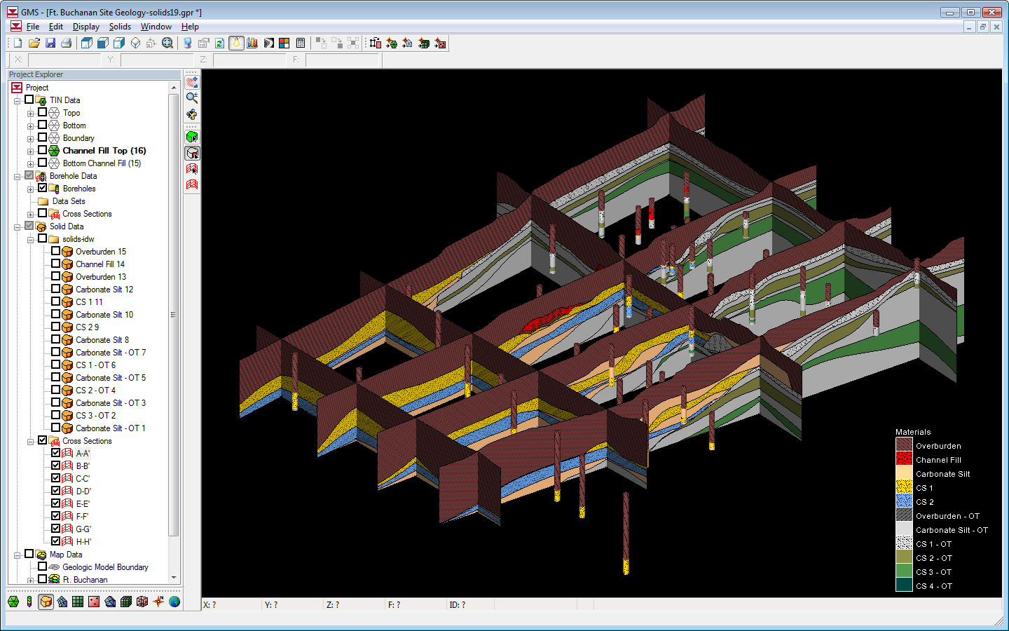
| 22:23, 1 December 2010 | Fort buchanan w.png (file) |  |
320 KB | Unjedai | 1 | |
| 21:59, 1 December 2010 | Fort buchanan b.png (file) |  |
316 KB | Unjedai | 1 | |
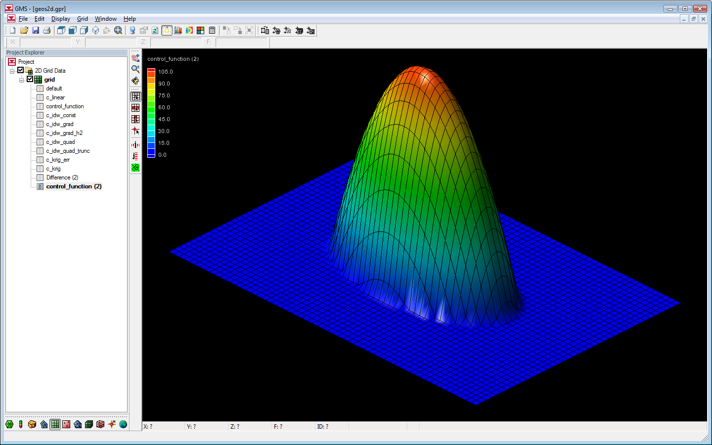
| 22:51, 1 December 2010 | Geos2d w.png (file) |  |
315 KB | Unjedai | 1 | |
| 13:33, 10 May 2008 | GSDADoylestownIn.png (file) |  |
315 KB | Eshaw | 1 | |
| 21:51, 1 December 2010 | Geos2d b.png (file) |  |
313 KB | Unjedai | 1 | |
| 16:48, 14 April 2015 | WMS Screen.jpg (file) |  |
311 KB | Jcreer | 2 | |
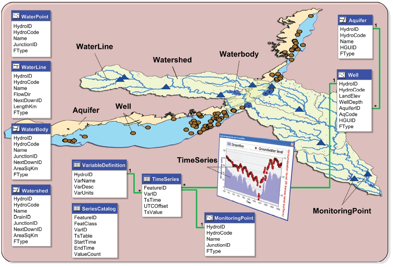
| 16:23, 22 August 2019 | Archydrogw framework.jpg (file) |  |
311 KB | Jcreer | 1 | |
| 21:16, 28 February 2012 | Modflow-nwt w.png (file) |  |
310 KB | Unjedai | 1 | |
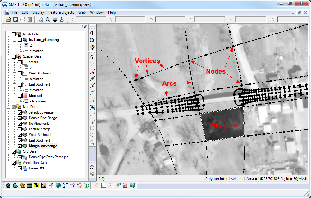
| 15:37, 15 November 2016 | Featstamp.png (file) |  |
310 KB | Jcreer | 2 | |
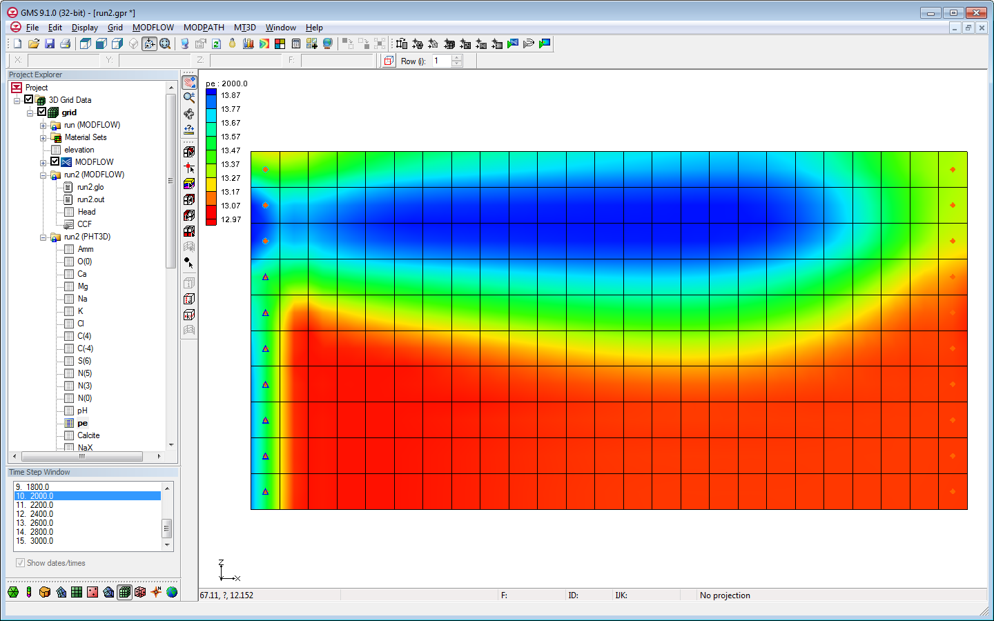
| 17:38, 9 May 2013 | Pht3d w.png (file) |  |
308 KB | Unjedai | 1 | |
| 14:41, 30 May 2017 | GIS Folder.svg (file) |  |
303 KB | Jcreer | 1 | |
| 03:44, 22 January 2015 | LouisianaRainfall.zip (file) | 301 KB | Cmsmemoe | 1 | ||
| 21:13, 7 December 2021 | Trimrastertool2.png (file) |  |
298 KB | Jcreer | 1 | |
| 19:27, 9 May 2008 | GSDA7.5Quad.png (file) |  |
297 KB | Eshaw | 1 |