Uploads by Cmsmemoe
From XMS Wiki
Jump to navigationJump to search
This special page shows all uploaded files.
| Date | Name | Thumbnail | Size | Description | Versions |
|---|---|---|---|---|---|
| 23:40, 19 July 2011 | HY8SouthDakotaSketch8.png (file) |  |
142 KB | 1 | |
| 23:40, 19 July 2011 | HY8SouthDakotaSketch9.png (file) |  |
117 KB | 1 | |
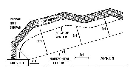
| 21:55, 16 December 2011 | HY8fig101RiprapPlan.png (file) |  |
38 KB | 1 | |
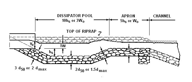
| 21:55, 16 December 2011 | HY8fig101RiprapProfile.png (file) |  |
53 KB | 1 | |
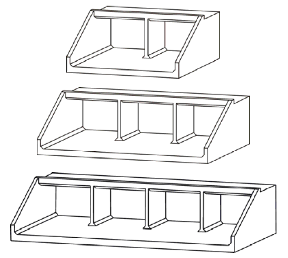
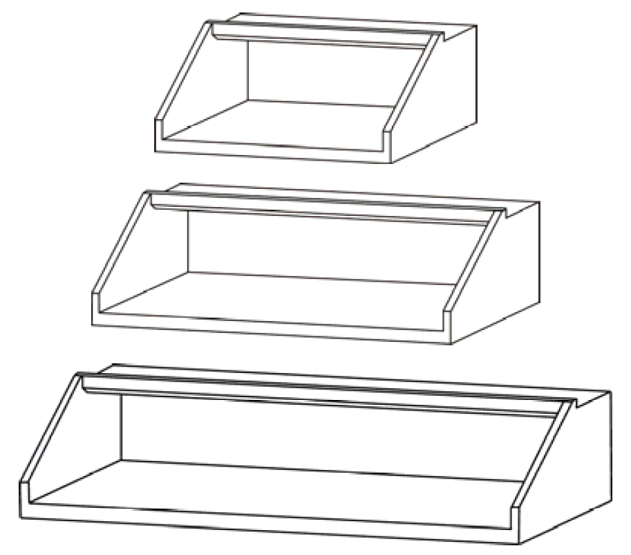
| 21:45, 16 December 2011 | HY8fig114BoxDrop.png (file) |  |
60 KB | 1 | |
| 22:01, 16 December 2011 | HY8fig911HookTrap.png (file) |  |
52 KB | 1 | |
| 22:01, 16 December 2011 | HY8fig912HookTrapHor.png (file) |  |
62 KB | 1 | |
| 22:00, 16 December 2011 | HY8fig98.png (file) |  |
165 KB | 1 | |
| 22:00, 16 December 2011 | HY8fig98Hook.png (file) |  |
44 KB | 1 | |
| 19:22, 15 December 2011 | HY8image59.png (file) |  |
24 KB | 1 | |
| 22:21, 7 December 2015 | Hy12SimplifiedInterface.png (file) |  |
175 KB | HY12 Simplified Interface | 1 |
| 20:52, 2 December 2011 | Hy8.png (file) |  |
85 KB | 1 | |
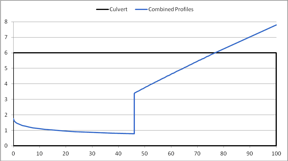
| 19:45, 5 October 2011 | HydraulicJumpCalcLength.png (file) |  |
7 KB | Hydraulic Jump length calculation plot | 1 |
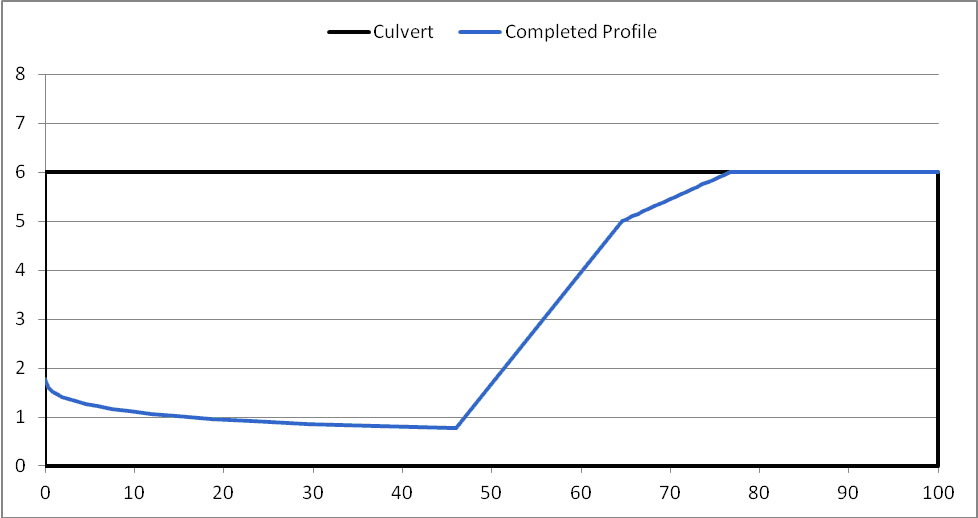
| 19:48, 5 October 2011 | HydraulicJumpCalcLengthCap.png (file) |  |
7 KB | Hydraulic Jump including length-final profile | 1 |
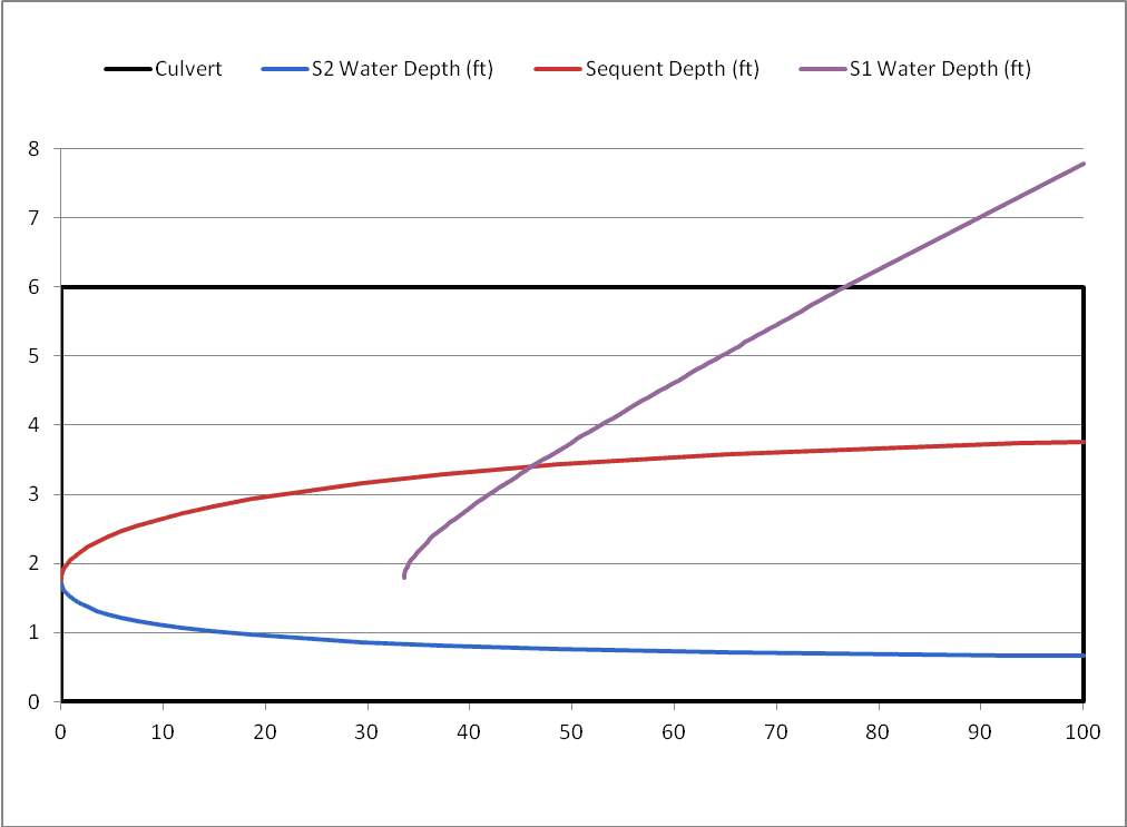
| 18:34, 5 October 2011 | HydraulicJumpComps.png (file) |  |
10 KB | Hydraulic Jump Computation Plot | 1 |
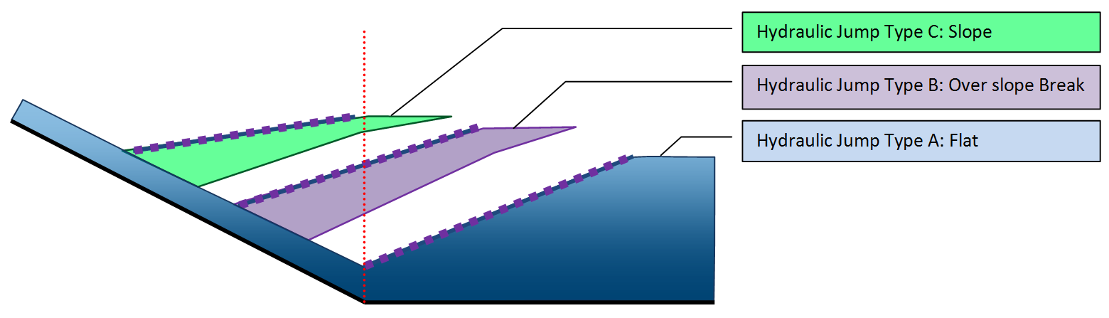
| 23:49, 5 October 2011 | HydraulicJumpTypes.png (file) |  |
53 KB | Hydraulic Jump Types | 1 |
| 23:54, 5 October 2011 | HydraulicJumpVariables.png (file) |  |
42 KB | Hydraulic Jump Variables | 1 |
| 16:21, 12 October 2011 | HydraulicJumpZeroLength.png (file) |  |
7 KB | Hydraulic Jump showing a zero length jump | 1 |
| 20:37, 18 March 2008 | HydrologicModelingWizard.jpg (file) |  |
57 KB | 1 | |
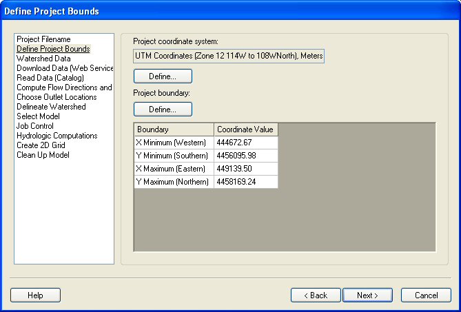
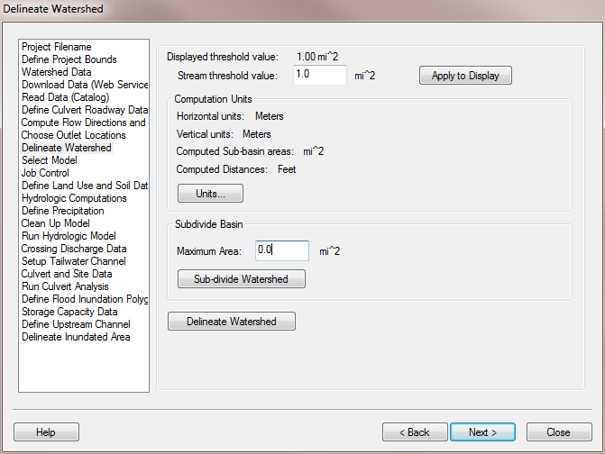
| 20:30, 9 February 2011 | HydrologicModelingWizardDelineateWatershed.png (file) |  |
40 KB | 1 | |
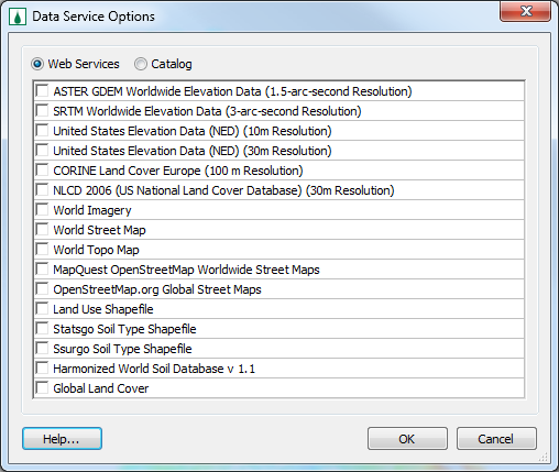
| 16:31, 6 June 2012 | ImportFromWeb-WebServiceOptions.png (file) |  |
27 KB | Added new version of dialog so it's resizable and shows all the available web services. | 4 |
| 16:35, 22 September 2009 | ImportIndexMap.png (file) |  |
106 KB | 1 | |
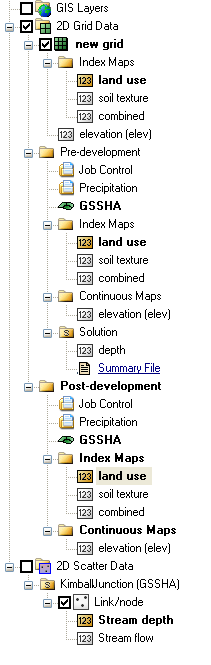
| 16:35, 22 September 2009 | IndexMaps.png (file) |  |
775 KB | 1 | |
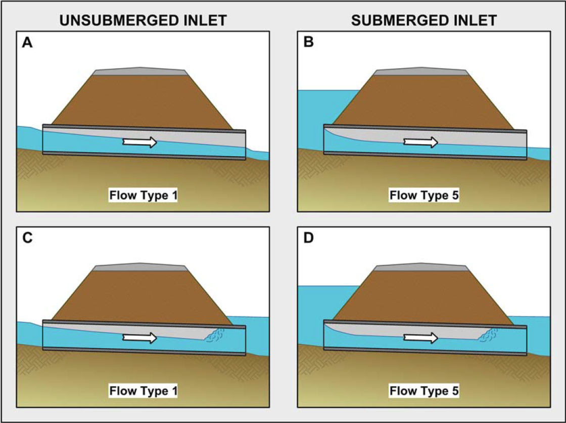
| 19:07, 6 October 2011 | InletControlFlowTypes.png (file) |  |
403 KB | 3 | |
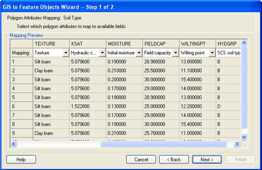
| 16:37, 22 September 2009 | JoinSsurgoData.png (file) |  |
229 KB | 1 | |
| 14:46, 21 January 2015 | LADOTDCNTable.txt (file) | 2 KB | Louisiana DOTD Curve Number Table | 1 | |
| 22:42, 18 October 2012 | LandXMLFile.png (file) |  |
626 KB | 1 | |
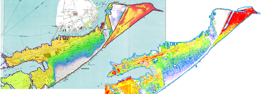
| 05:01, 23 March 2018 | LidarGslNorth.png (file) |  |
218 KB | 1 | |
| 03:44, 22 January 2015 | LouisianaRainfall.zip (file) | 301 KB | 1 | ||
| 01:13, 15 December 2011 | Lpdaac.png (file) | 90 KB | LPDAAC Logo | 1 | |
| 17:03, 12 June 2014 | ModClarkDssGriddedParameters.png (file) |  |
256 KB | 1 | |
| 16:43, 18 March 2008 | ModClarkModel.jpg (file) |  |
163 KB | 1 | |
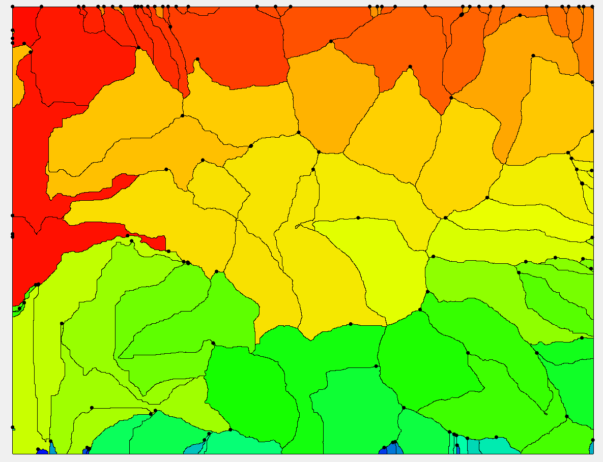
| 22:48, 18 October 2012 | MultipleDEMs.png (file) |  |
10 KB | Multiple DEMs | 1 |
| 20:30, 26 February 2009 | MultipleScenarios.png (file) |  |
17 KB | 1 | |
| 18:13, 31 July 2013 | NLCD2006LuCodes.txt (file) | 746 bytes | 1 | ||
| 18:03, 12 June 2014 | NcdcRainfallStationWizard.png (file) |  |
39 KB | 1 | |
| 16:42, 18 March 2008 | NexradRainfallGages.jpg (file) |  |
182 KB | 1 | |
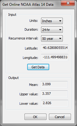
| 17:56, 12 June 2014 | NoaaAtlas14Dialog.png (file) |  |
23 KB | 1 | |
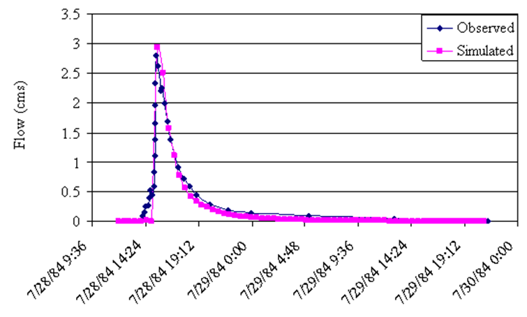
| 16:37, 22 September 2009 | ObservedAndCalibratedData.png (file) |  |
58 KB | 1 | |
| 21:19, 15 November 2021 | OmegaEM.zip (file) | 201 KB | 2 | ||
| 23:16, 18 October 2012 | OnlineDataTools.png (file) |  |
8 KB | Online Data Tools | 1 |
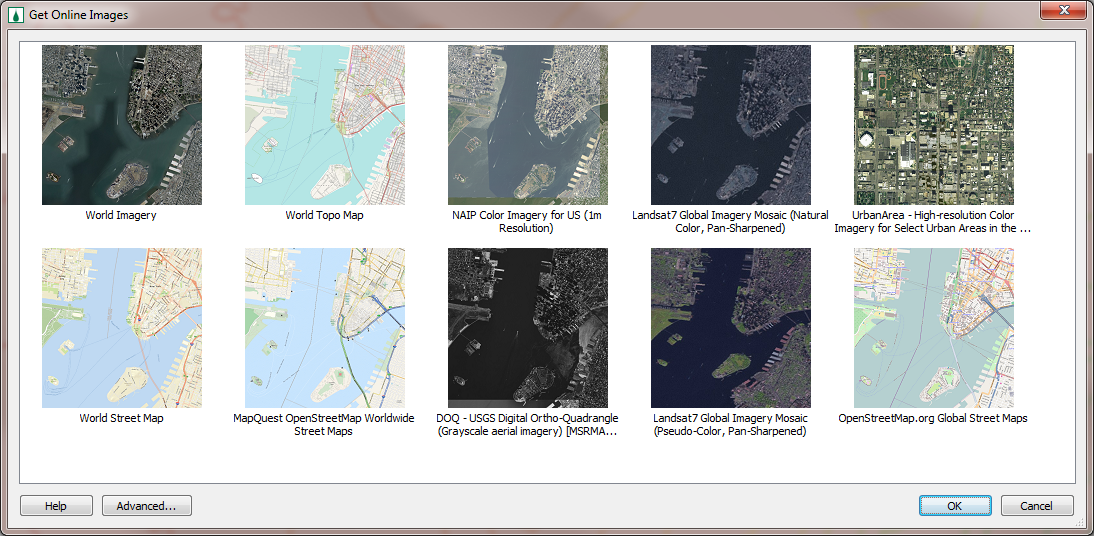
| 17:51, 25 January 2012 | OnlineImages.png (file) |  |
578 KB | Online Images Dialog | 1 |
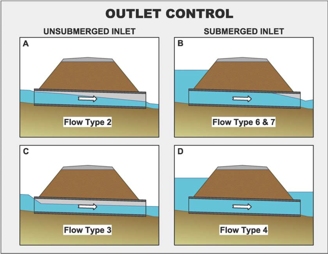
| 17:55, 6 October 2011 | OutletControlFlowTypes.png (file) |  |
365 KB | Outlet Control Flow Types | 1 |
| 16:36, 22 September 2009 | OverlandFlowBcStormSurge.png (file) |  |
376 KB | 1 | |
| 05:50, 11 October 2023 | Polygons from index raster 1.png (file) |  |
96 KB | Raster with index (integer) data | 1 |
| 05:50, 11 October 2023 | Polygons from index raster 2.png (file) |  |
93 KB | Polygons generated from the index raster | 1 |
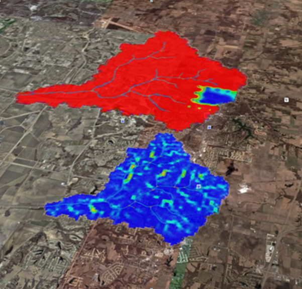
| 16:34, 22 September 2009 | RainfallToGoogleEarth.png (file) |  |
532 KB | 1 | |
| 21:51, 18 October 2012 | RasterDataExport.png (file) |  |
9 KB | 1 | |
| 21:46, 18 October 2012 | RasterDisplayAndElevationMenu.png (file) |  |
510 KB | Raster Display and Elevation Menu | 1 |
| 23:12, 14 May 2024 | Roundup1.png (file) |  |
7 KB | 1 |