Uploads by Cmsmemoe
From XMS Wiki
Jump to navigationJump to search
This special page shows all uploaded files.
| Date | Name | Thumbnail | Size | Description | Versions |
|---|---|---|---|---|---|
| 20:37, 18 March 2008 | XmsWiki.jpg (file) |  |
67 KB | 1 | |
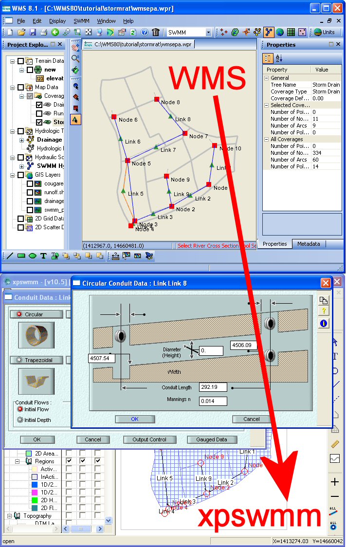
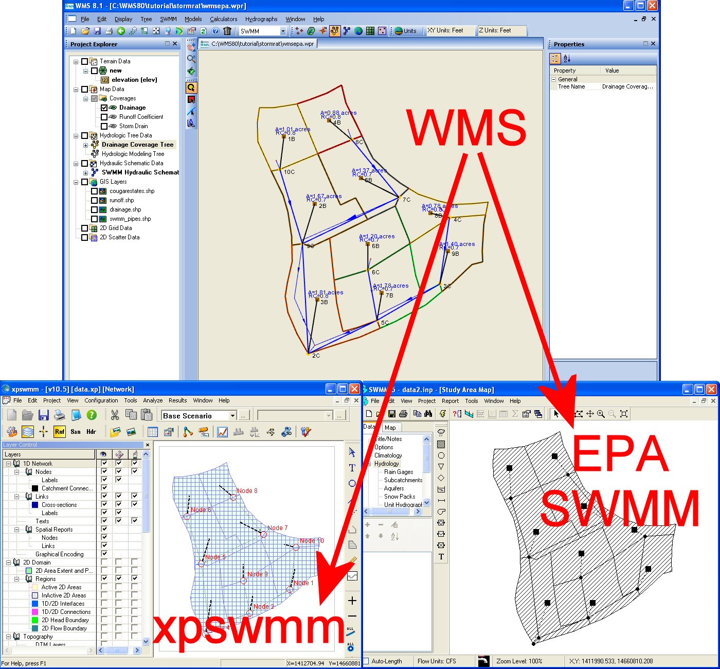
| 18:07, 18 March 2008 | WmsToXpswmm.jpg (file) |  |
253 KB | 1 | |
| 06:49, 8 March 2023 | WinTR20.png (file) |  |
32 KB | WinTR-20 model inside WMS. | 1 |
| 20:40, 1 October 2010 | Wetlands1.png (file) |  |
108 KB | 1 | |
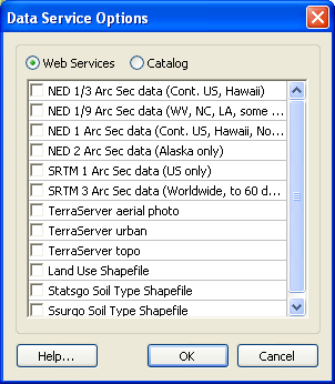
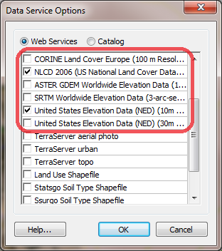
| 20:31, 26 February 2009 | WebServices.png (file) |  |
13 KB | 1 | |
| 17:52, 19 May 2015 | WMS HY12 Simplified Properties.png (file) |  |
42 KB | HY12 Simplified Properties dialog for links and nodes | 1 |
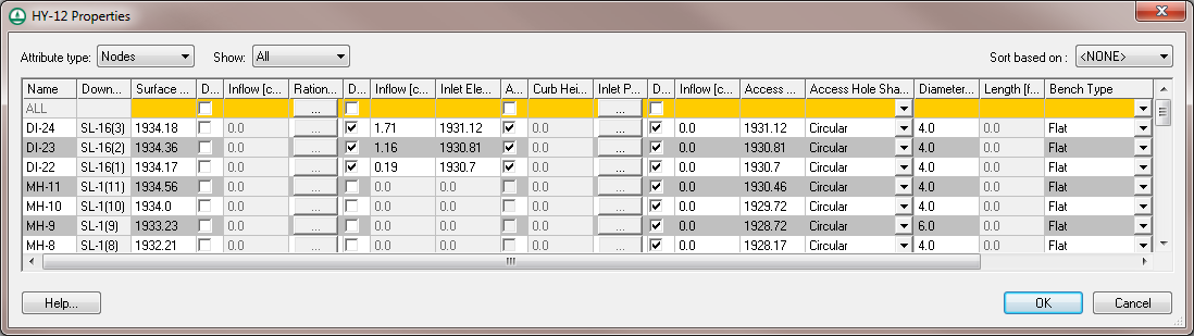
| 17:40, 19 May 2015 | WMS HY12 Properties.png (file) |  |
47 KB | HY-12 Project Properties dialog. | 1 |
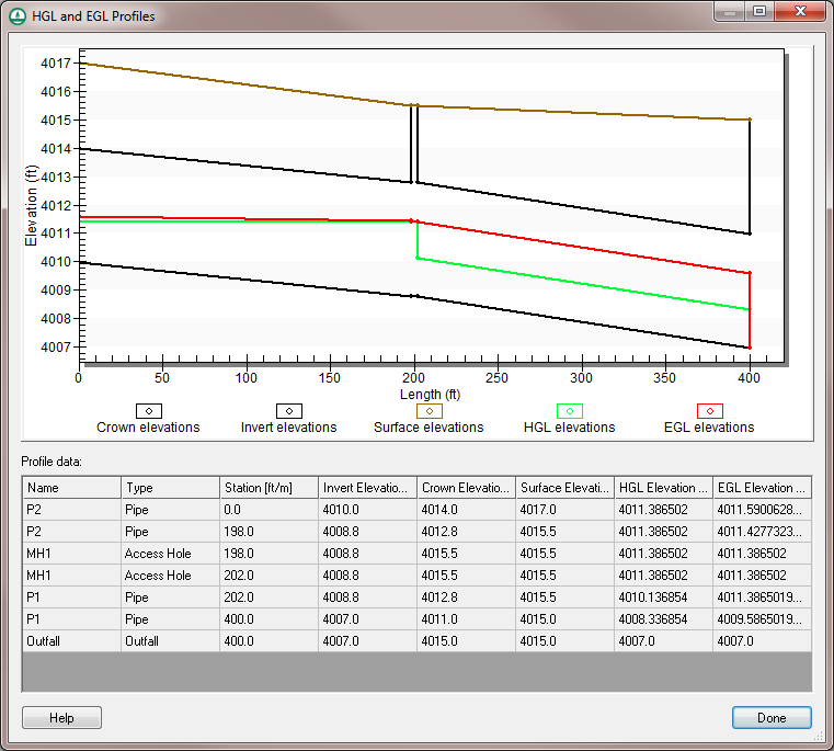
| 19:52, 19 May 2015 | WMS HY12 HGL and EGL Profiles.png (file) |  |
46 KB | HY-12 HGL and EGL profile dialog | 1 |
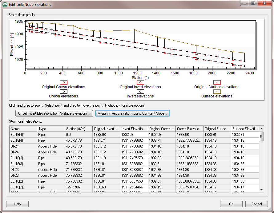
| 20:05, 19 May 2015 | WMS HY12 Edit Elevations.png (file) |  |
62 KB | HY-12 Edit Link/Node Elevations dialog | 2 |
| 18:27, 19 May 2015 | WMS HY-12 Define Node Properties.png (file) |  |
34 KB | HY-12 define node properties dialog. | 1 |
| 23:14, 13 March 2013 | WMSUseDigitizeToolbar.png (file) |  |
255 KB | Using the WMS Digitize Toolbar | 1 |
| 21:15, 15 March 2013 | WMSPolygonShapefileTreeIcon.png (file) |  |
400 bytes | 1 | |
| 21:15, 15 March 2013 | WMSPointShapefileTreeIcon.png (file) |  |
365 bytes | 1 | |
| 21:16, 15 March 2013 | WMSOnlineGISRasterImageTreeIcon.png (file) |  |
743 bytes | 1 | |
| 21:17, 15 March 2013 | WMSOnlineGISPaletteImageTreeIcon.png (file) |  |
586 bytes | 1 | |
| 21:17, 15 March 2013 | WMSOnlineGISElevationImageTreeIcon.png (file) |  |
540 bytes | 1 | |
| 21:15, 15 March 2013 | WMSLineShapefileTreeIcon.png (file) |  |
341 bytes | 1 | |
| 21:15, 15 March 2013 | WMSGISVectorDataTreeIcon.png (file) |  |
553 bytes | 1 | |
| 21:16, 15 March 2013 | WMSGISRasterImageTreeIcon.png (file) |  |
625 bytes | 1 | |
| 21:16, 15 March 2013 | WMSGISPaletteImageTreeIcon.png (file) |  |
525 bytes | 1 | |
| 21:16, 15 March 2013 | WMSGISElevationImageTreeIcon.png (file) |  |
471 bytes | 1 | |
| 21:19, 15 March 2013 | WMSArcObjectsRasterTreeIcon.png (file) |  |
480 bytes | 1 | |
| 21:20, 15 March 2013 | WMSArcObjectsCadTinTreeIcon.png (file) |  |
429 bytes | 1 | |
| 18:05, 25 January 2012 | WMS85WebServices.png (file) |  |
35 KB | Web Services dialog | 1 |
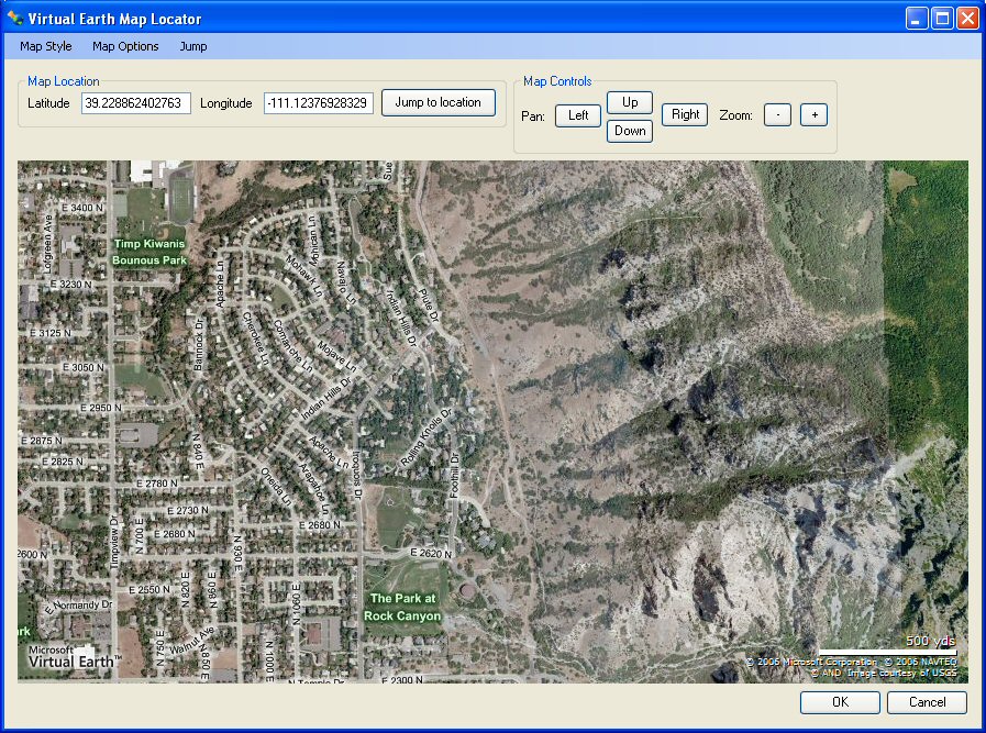
| 20:36, 18 March 2008 | VirtualEarthLocator.jpg (file) |  |
222 KB | 1 | |
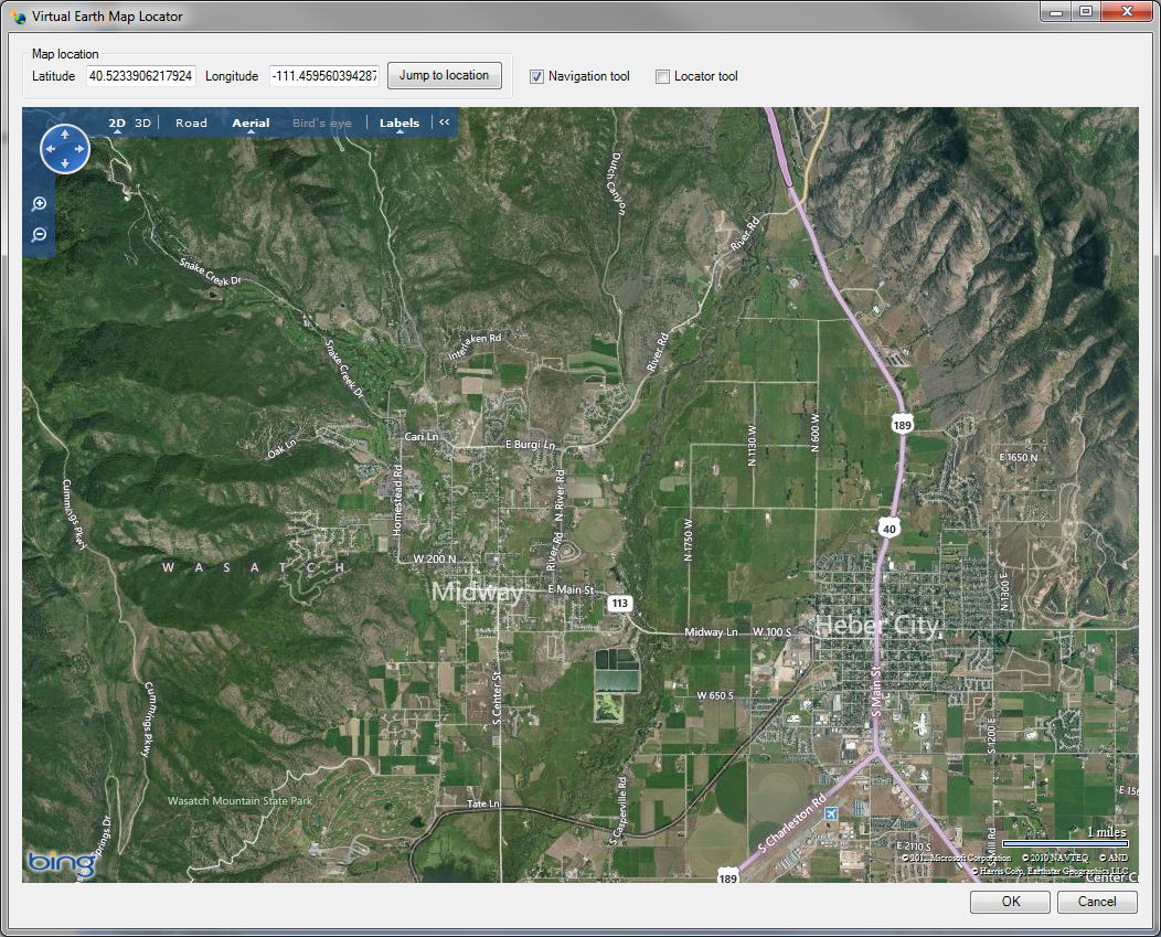
| 23:21, 18 October 2012 | VirtualEarth.png (file) |  |
1.31 MB | Virtual Earth Map Locator Window | 1 |
| 23:01, 30 December 2011 | VenaContractaEq2.png (file) | 2 KB | 1 | ||
| 23:00, 30 December 2011 | VenaContractaEq1.png (file) | 2 KB | 1 | ||
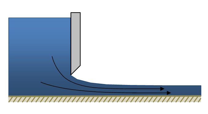
| 22:58, 30 December 2011 | VenaContractaDiagram.png (file) |  |
13 KB | 1 | |
| 18:13, 31 July 2013 | VectorLuCodes.txt (file) | 1 KB | 1 | ||
| 18:30, 25 January 2012 | VectorImages.png (file) |  |
210 KB | Use of Vector Images in WMS | 1 |
| 21:59, 18 October 2012 | VectorDataExport.png (file) |  |
13 KB | 1 | |
| 21:58, 18 October 2012 | VectorDataConvert.png (file) |  |
14 KB | 1 | |
| 16:00, 16 October 2008 | Tip landuse lu codes.zip (file) | 832 bytes | 1 | ||
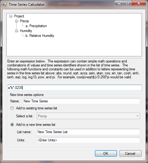
| 22:22, 7 December 2015 | TimeSeriesCalculator.png (file) |  |
48 KB | Time Series Calculator in the Time Series Editor | 1 |
| 00:12, 19 October 2012 | TextureMapping.png (file) |  |
799 KB | Texture Mapped TIN | 1 |
| 20:12, 28 July 2022 | TR20precipitation.jpg (file) |  |
34 KB | 3 | |
| 18:02, 18 March 2008 | SwmmInterface.jpg (file) |  |
417 KB | 1 | |
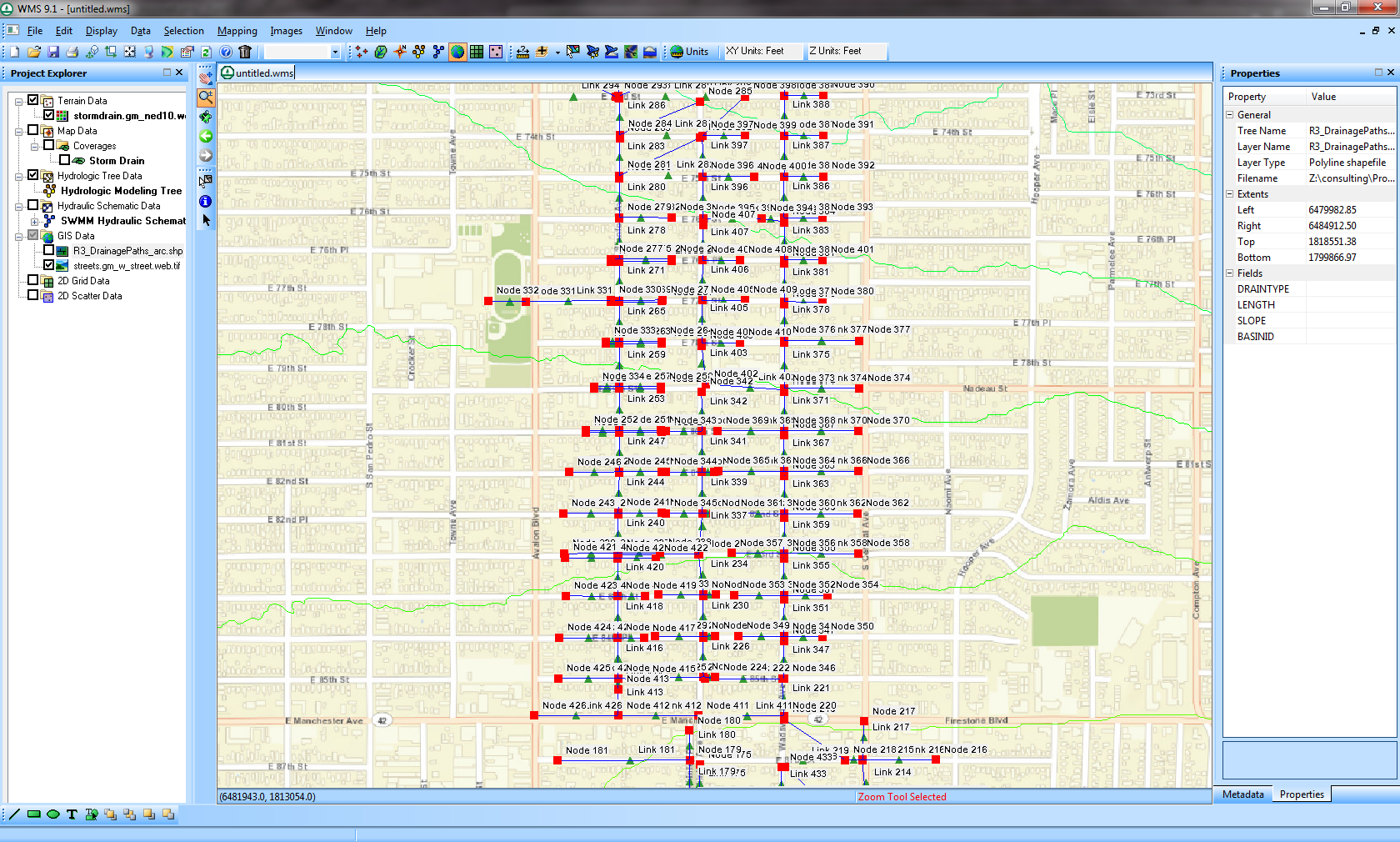
| 02:41, 5 December 2007 | StormDrainMenu.jpg (file) |  |
5 KB | 1 | |
| 20:00, 16 August 2023 | Srp watersheds from raster 2.png (file) |  |
346 KB | 1 | |
| 19:54, 16 August 2023 | Srp watersheds from raster 1.png (file) |  |
756 KB | 1 | |
| 19:48, 14 September 2023 | Srp ugrids from watersheds 2.png (file) |  |
96 KB | 1 | |
| 19:47, 14 September 2023 | Srp ugrids from watersheds 1.png (file) |  |
606 KB | 1 | |
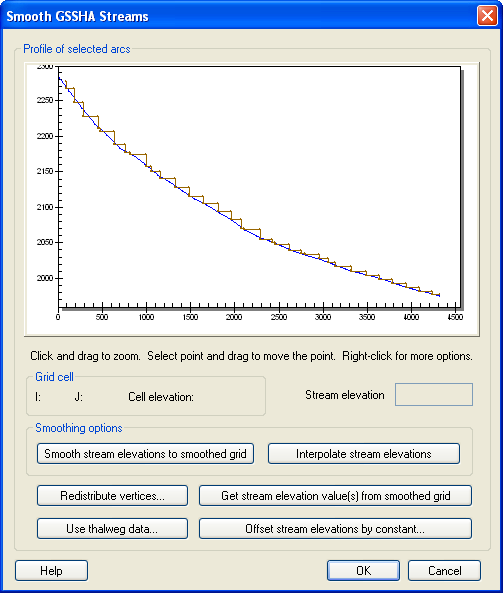
| 20:30, 26 February 2009 | SmoothStreams.png (file) |  |
20 KB | 1 | |
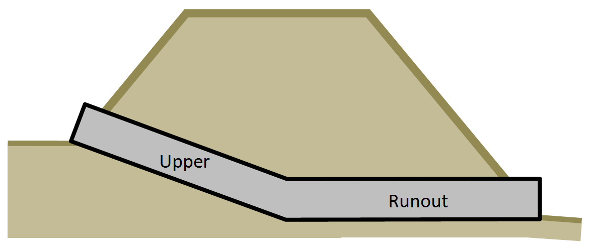
| 21:49, 6 October 2011 | SingleBrokenBackCulvert.png (file) |  |
26 KB | Single Broken Back Culvert Diagram | 1 |
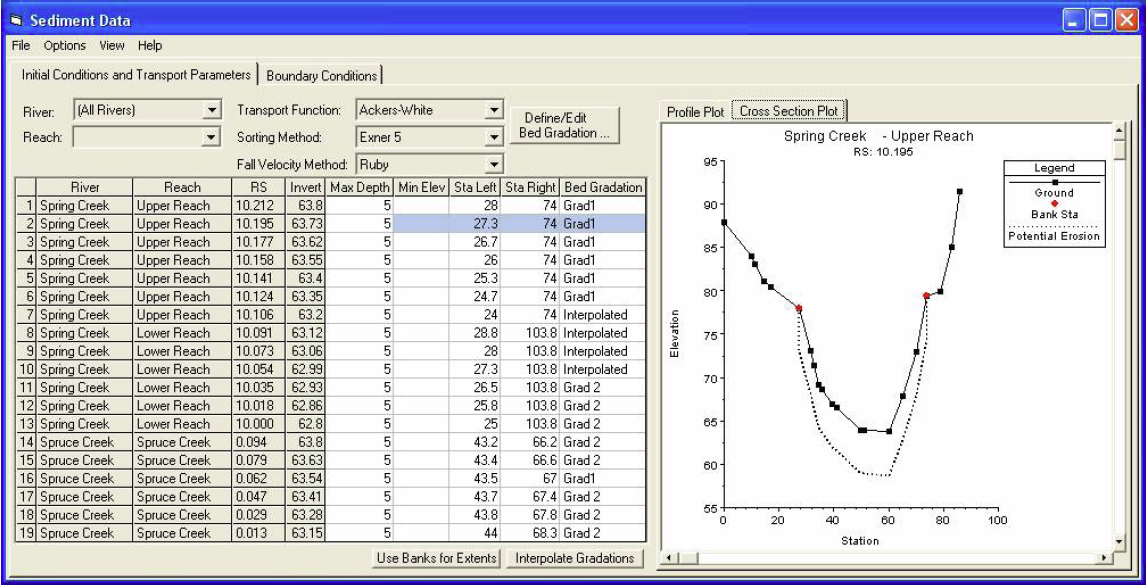
| 01:13, 4 March 2009 | Sediment.png (file) |  |
456 KB | 1 | |
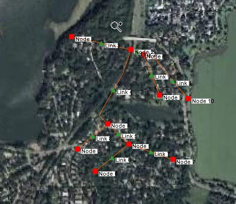
| 02:39, 5 December 2007 | SWMMHydraulicSchematicFromStormDrainConceptualModel.jpg (file) |  |
55 KB | 1 | |
| 01:03, 19 October 2012 | SWMMAttributes.png (file) |  |
1.1 MB | SWMM Model | 1 |
| 21:46, 18 October 2012 | RasterDisplayAndElevationMenu.png (file) |  |
510 KB | Raster Display and Elevation Menu | 1 |
| 21:51, 18 October 2012 | RasterDataExport.png (file) |  |
9 KB | 1 |