Uploads by Cmsmemoe
From XMS Wiki
Jump to navigationJump to search
This special page shows all uploaded files.
| Date | Name | Thumbnail | Size | Description | Versions |
|---|---|---|---|---|---|
| 21:15, 15 March 2013 | WMSLineShapefileTreeIcon.png (file) |  |
341 bytes | 1 | |
| 21:15, 15 March 2013 | WMSPointShapefileTreeIcon.png (file) |  |
365 bytes | 1 | |
| 21:15, 15 March 2013 | WMSPolygonShapefileTreeIcon.png (file) |  |
400 bytes | 1 | |
| 21:20, 15 March 2013 | WMSArcObjectsCadTinTreeIcon.png (file) |  |
429 bytes | 1 | |
| 21:16, 15 March 2013 | WMSGISElevationImageTreeIcon.png (file) |  |
471 bytes | 1 | |
| 21:19, 15 March 2013 | WMSArcObjectsRasterTreeIcon.png (file) |  |
480 bytes | 1 | |
| 21:16, 15 March 2013 | WMSGISPaletteImageTreeIcon.png (file) |  |
525 bytes | 1 | |
| 21:17, 15 March 2013 | WMSOnlineGISElevationImageTreeIcon.png (file) |  |
540 bytes | 1 | |
| 21:15, 15 March 2013 | WMSGISVectorDataTreeIcon.png (file) |  |
553 bytes | 1 | |
| 21:17, 15 March 2013 | WMSOnlineGISPaletteImageTreeIcon.png (file) |  |
586 bytes | 1 | |
| 21:16, 15 March 2013 | WMSGISRasterImageTreeIcon.png (file) |  |
625 bytes | 1 | |
| 21:16, 15 March 2013 | WMSOnlineGISRasterImageTreeIcon.png (file) |  |
743 bytes | 1 | |
| 18:13, 31 July 2013 | NLCD2006LuCodes.txt (file) | 746 bytes | 1 | ||
| 16:00, 16 October 2008 | Tip landuse lu codes.zip (file) | 832 bytes | 1 | ||
| 18:13, 31 July 2013 | VectorLuCodes.txt (file) | 1 KB | 1 | ||
| 23:00, 30 December 2011 | VenaContractaEq1.png (file) | 2 KB | 1 | ||
| 18:35, 24 October 2017 | CorineLandUseTable.txt (file) | 2 KB | CORINE (European Land Cover Database) land use table for computing composite curve numbers. | 1 | |
| 14:46, 21 January 2015 | LADOTDCNTable.txt (file) | 2 KB | Louisiana DOTD Curve Number Table | 1 | |
| 23:01, 30 December 2011 | VenaContractaEq2.png (file) | 2 KB | 1 | ||
| 21:01, 18 March 2008 | GetDataToolbar.jpg (file) | 3 KB | 1 | ||
| 20:29, 20 January 2015 | FEMAFloodMapLegend.png (file) |  |
3 KB | 1 | |
| 17:52, 25 January 2012 | GetDataToolbar.png (file) | 3 KB | 1 | ||
| 21:38, 18 October 2012 | AddDataCommand.png (file) | 4 KB | Get Data Toolbar with the Add Data button. | 1 | |
| 17:16, 15 December 2011 | GSDA webGIS.png (file) |  |
4 KB | 1 | |
| 18:05, 25 January 2012 | GetDataToolbarWebServices.png (file) | 4 KB | 1 | ||
| 02:41, 5 December 2007 | StormDrainMenu.jpg (file) |  |
5 KB | 1 | |
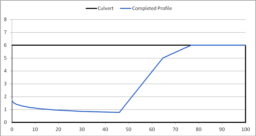
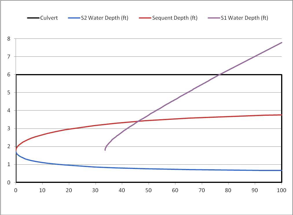
| 19:48, 5 October 2011 | HydraulicJumpCalcLengthCap.png (file) |  |
7 KB | Hydraulic Jump including length-final profile | 1 |
| 00:39, 20 March 2013 | CEQUALW2BathymetryFig6.png (file) |  |
7 KB | 1 | |
| 19:45, 5 October 2011 | HydraulicJumpCalcLength.png (file) |  |
7 KB | Hydraulic Jump length calculation plot | 1 |
| 16:21, 12 October 2011 | HydraulicJumpZeroLength.png (file) |  |
7 KB | Hydraulic Jump showing a zero length jump | 1 |
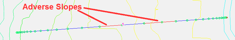
| 23:41, 27 May 2014 | GsshaStormDrainAdverseSlopeFig1.png (file) | 7 KB | 1 | ||
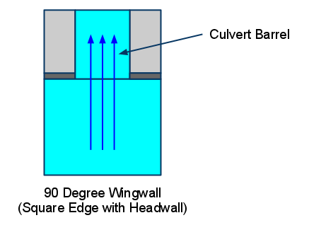
| 22:51, 16 June 2011 | 90DegreeWingwallConspanCulvertDiagram.png (file) |  |
8 KB | 90 Degree Wingwall Conspan Culvert Diagram | 1 |
| 23:16, 18 October 2012 | OnlineDataTools.png (file) |  |
8 KB | Online Data Tools | 1 |
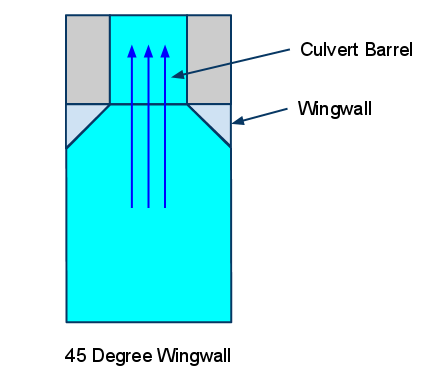
| 22:49, 16 June 2011 | 45DegreeWingwallConspanCulvertDiagram.png (file) |  |
8 KB | 45 Degree Wingwall Conspan Culvert Diagram | 1 |
| 21:51, 18 October 2012 | RasterDataExport.png (file) |  |
9 KB | 1 | |
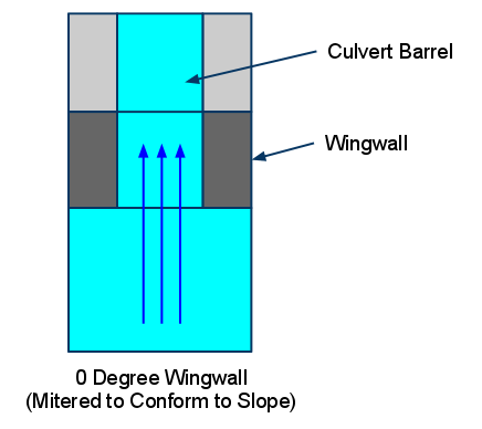
| 22:50, 16 June 2011 | 0DegreeWingwallConspanCulvertDiagram.png (file) |  |
9 KB | O Degree Wingwall Conspan Culvert Diagram | 1 |
| 18:34, 5 October 2011 | HydraulicJumpComps.png (file) |  |
10 KB | Hydraulic Jump Computation Plot | 1 |
| 22:48, 18 October 2012 | MultipleDEMs.png (file) |  |
10 KB | Multiple DEMs | 1 |
| 17:17, 15 December 2011 | GSDA GeoCommunity.png (file) |  |
10 KB | 1 | |
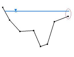
| 00:57, 16 December 2011 | HY8IrregularChannel.png (file) |  |
12 KB | 1 | |
| 17:16, 15 December 2011 | GSDA USGS.png (file) |  |
12 KB | 1 | |
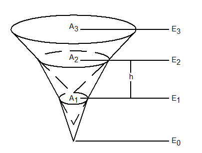
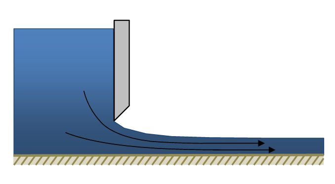
| 22:58, 30 December 2011 | VenaContractaDiagram.png (file) |  |
13 KB | 1 | |
| 23:15, 27 May 2014 | GsshaStormDrainRedistributeFig2.png (file) |  |
13 KB | 1 | |
| 21:59, 18 October 2012 | VectorDataExport.png (file) |  |
13 KB | 1 | |
| 17:17, 15 December 2011 | GSDA LandInfo.png (file) |  |
13 KB | 1 | |
| 20:31, 26 February 2009 | WebServices.png (file) |  |
13 KB | 1 | |
| 21:58, 18 October 2012 | VectorDataConvert.png (file) |  |
14 KB | 1 | |
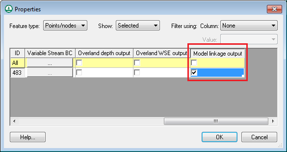
| 13:04, 17 July 2014 | GsshaInsetModelModelLinkageOutput.png (file) |  |
14 KB | 1 | |
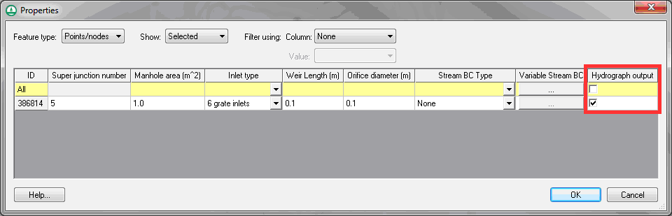
| 23:42, 27 May 2014 | GsshaStormDrainHydrographsFig1.png (file) |  |
14 KB | 1 | |
| 17:29, 15 December 2011 | GSDA CGIAR.png (file) | 15 KB | 2 |