Uploads by Cmsmemoe
From XMS Wiki
Jump to navigationJump to search
This special page shows all uploaded files.
| Date | Name | Thumbnail | Size | Description | Versions |
|---|---|---|---|---|---|
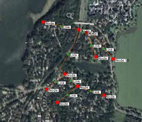
| 02:39, 5 December 2007 | SWMMHydraulicSchematicFromStormDrainConceptualModel.jpg (file) |  |
55 KB | 1 | |
| 02:41, 5 December 2007 | StormDrainMenu.jpg (file) |  |
5 KB | 1 | |
| 16:42, 18 March 2008 | NexradRainfallGages.jpg (file) |  |
182 KB | 1 | |
| 16:43, 18 March 2008 | ModClarkModel.jpg (file) |  |
163 KB | 1 | |
| 18:02, 18 March 2008 | SwmmInterface.jpg (file) |  |
417 KB | 1 | |
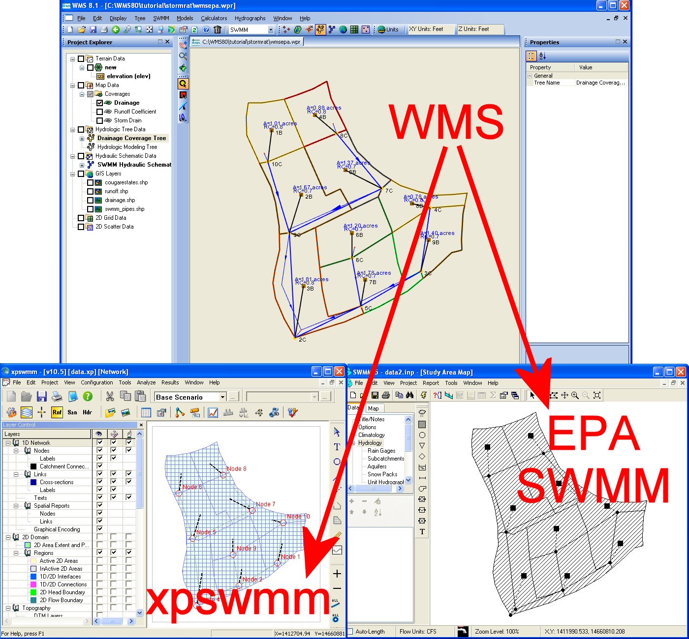
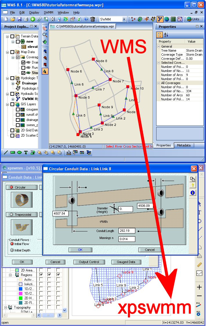
| 18:07, 18 March 2008 | WmsToXpswmm.jpg (file) |  |
253 KB | 1 | |
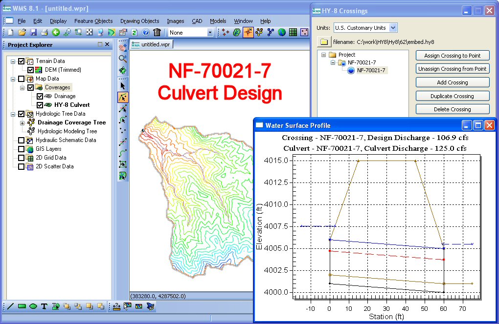
| 19:05, 18 March 2008 | HY8CulvertDesign.jpg (file) |  |
190 KB | 1 | |
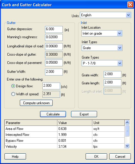
| 20:36, 18 March 2008 | CurbGutterCalculator.jpg (file) |  |
62 KB | 1 | |
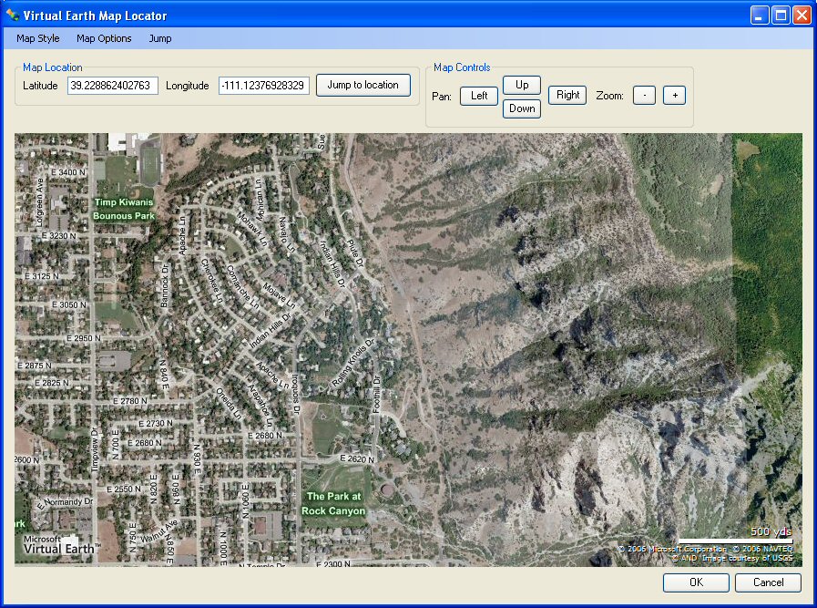
| 20:36, 18 March 2008 | VirtualEarthLocator.jpg (file) |  |
222 KB | 1 | |
| 20:37, 18 March 2008 | HydrologicModelingWizard.jpg (file) |  |
57 KB | 1 | |
| 20:37, 18 March 2008 | XmsWiki.jpg (file) |  |
67 KB | 1 | |
| 21:01, 18 March 2008 | GetDataToolbar.jpg (file) | 3 KB | 1 | ||
| 17:42, 19 March 2008 | HMSSCSHypotheticalStorm1.jpg (file) |  |
139 KB | 1 | |
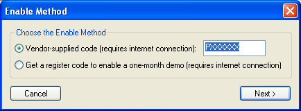
| 21:50, 4 September 2008 | EnableWizard.jpg (file) |  |
20 KB | 1 | |
| 22:28, 4 September 2008 | EnableWizard1.jpg (file) |  |
20 KB | 1 | |
| 22:30, 4 September 2008 | EnableWizard2.jpg (file) |  |
21 KB | 1 | |
| 16:00, 16 October 2008 | Tip landuse lu codes.zip (file) | 832 bytes | 1 | ||
| 19:18, 18 December 2008 | DatasetZonalClassification2.jpg (file) |  |
78 KB | 1 | |
| 20:29, 26 February 2009 | Calibration.png (file) |  |
80 KB | 1 | |
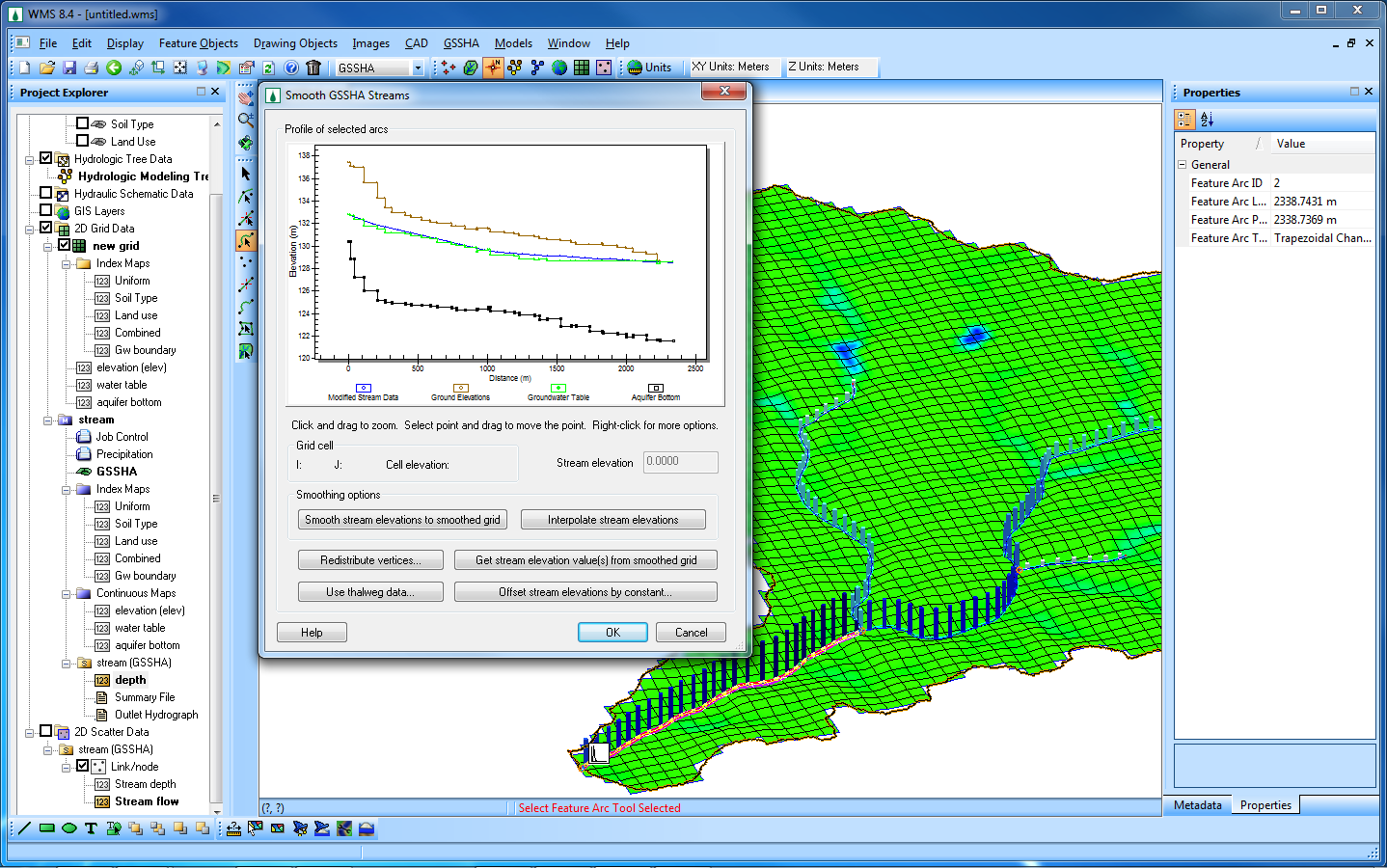
| 20:30, 26 February 2009 | SmoothStreams.png (file) |  |
20 KB | 1 | |
| 20:30, 26 February 2009 | MultipleScenarios.png (file) |  |
17 KB | 1 | |
| 20:31, 26 February 2009 | GroundwaterAndSediment.png (file) |  |
96 KB | 1 | |
| 20:31, 26 February 2009 | Embankments.png (file) |  |
331 KB | 1 | |
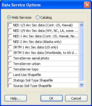
| 20:31, 26 February 2009 | WebServices.png (file) |  |
13 KB | 1 | |
| 20:37, 26 February 2009 | GoogleEarthKmzAnimExport.png (file) |  |
1.87 MB | 1 | |
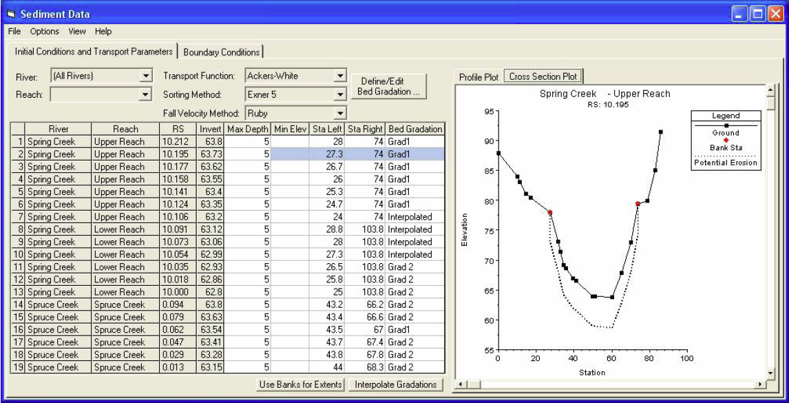
| 01:13, 4 March 2009 | Sediment.png (file) |  |
456 KB | 1 | |
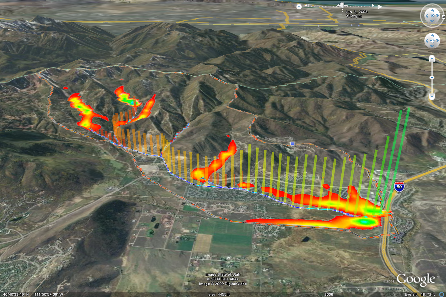
| 16:34, 22 September 2009 | RainfallToGoogleEarth.png (file) |  |
532 KB | 1 | |
| 16:35, 22 September 2009 | IndexMaps.png (file) |  |
775 KB | 1 | |
| 16:35, 22 September 2009 | ImportIndexMap.png (file) |  |
106 KB | 1 | |
| 16:36, 22 September 2009 | ConstituentMassPlot.png (file) |  |
144 KB | 1 | |
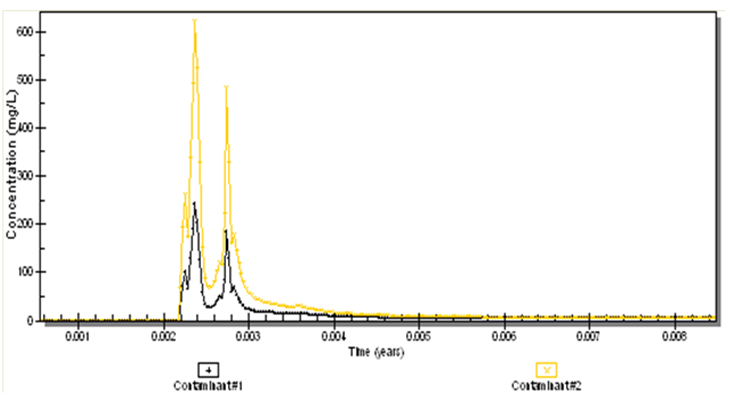
| 16:36, 22 September 2009 | ContaminantConcentration.png (file) |  |
46 KB | 1 | |
| 16:36, 22 September 2009 | OverlandFlowBcStormSurge.png (file) |  |
376 KB | 1 | |
| 16:37, 22 September 2009 | JoinSsurgoData.png (file) |  |
229 KB | 1 | |
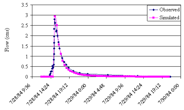
| 16:37, 22 September 2009 | ObservedAndCalibratedData.png (file) |  |
58 KB | 1 | |
| 20:40, 1 October 2010 | Wetlands1.png (file) |  |
108 KB | 1 | |
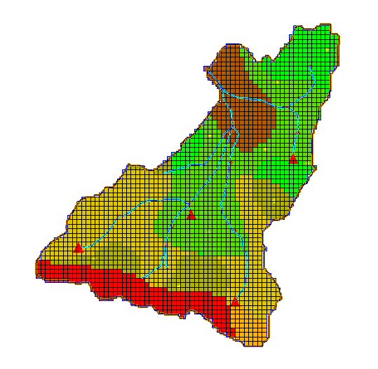
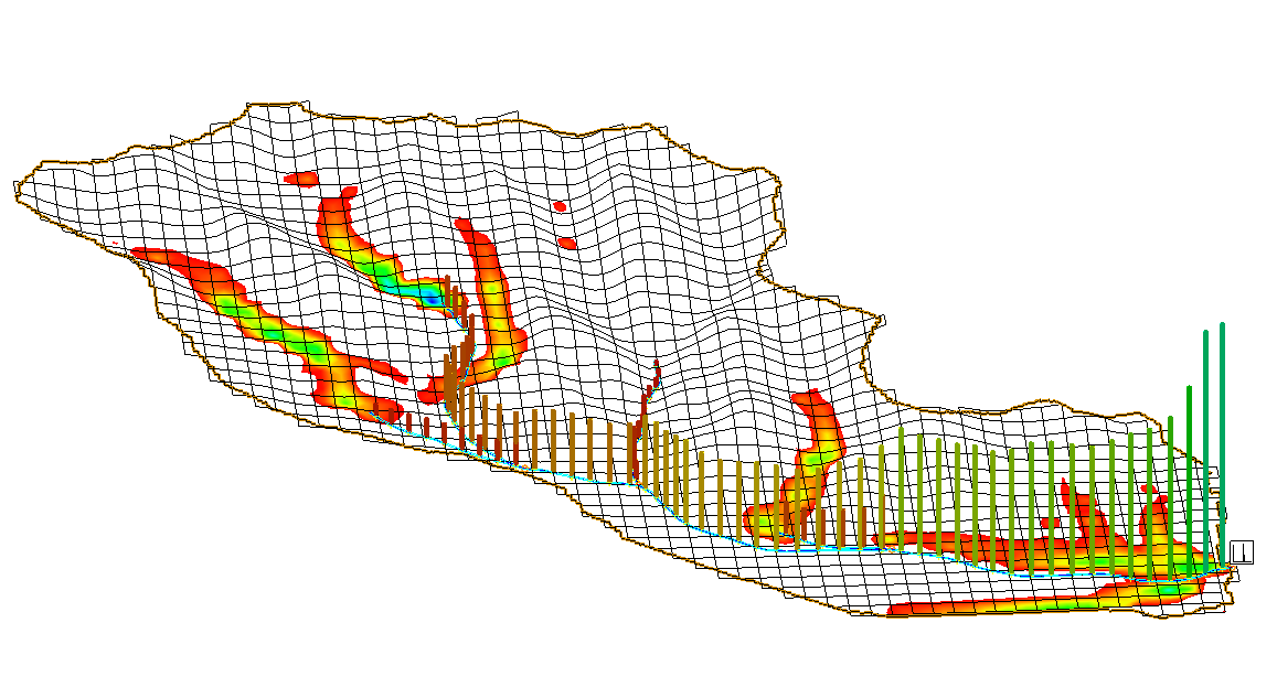
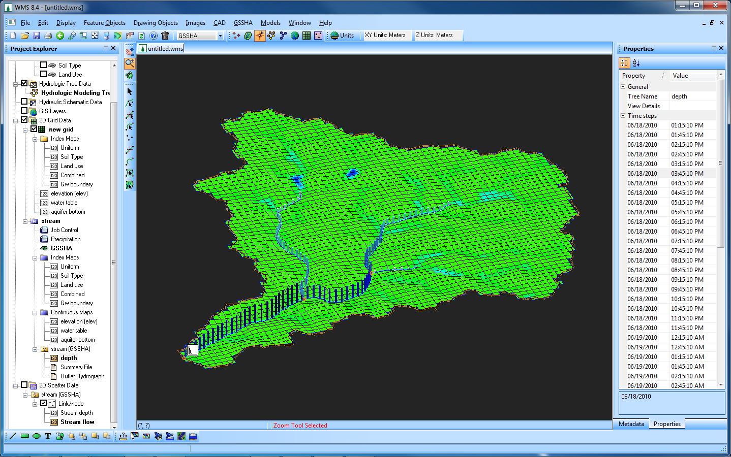
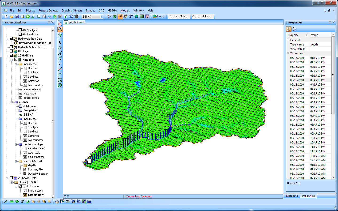
| 22:12, 7 February 2011 | GsshaGw b.png (file) |  |
349 KB | GSSHA Groundwater Model with stream depths. | 1 |
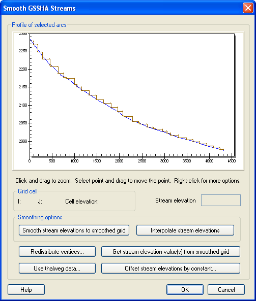
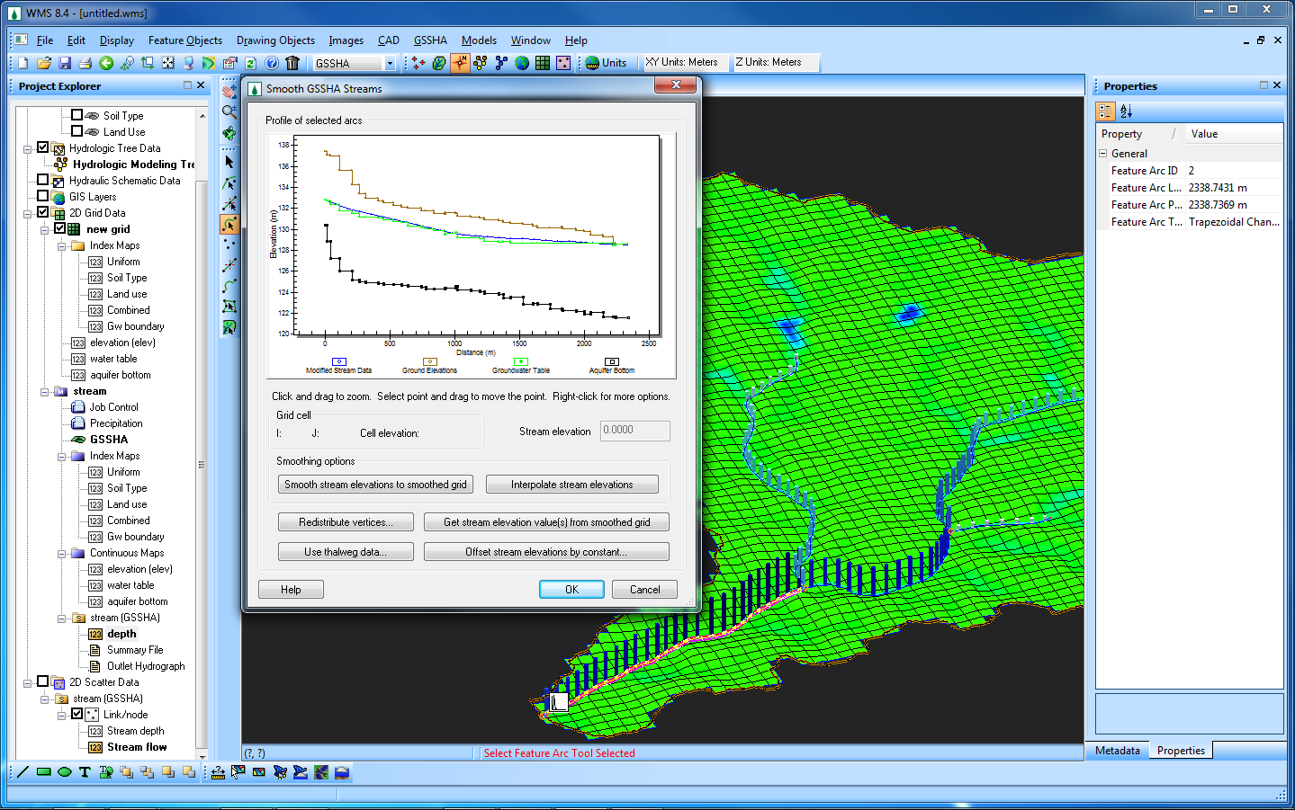
| 22:13, 7 February 2011 | GsshaSmoothStreams b.png (file) |  |
371 KB | GSSHA Groundwater Model with stream smoothing dialog. | 1 |
| 22:14, 7 February 2011 | GsshaGw w.png (file) |  |
349 KB | GSSHA Groundwater Model with stream depths. | 1 |
| 22:14, 7 February 2011 | GsshaSmoothStreams w.png (file) |  |
368 KB | GSSHA Groundwater Model with stream smoothing dialog. | 1 |
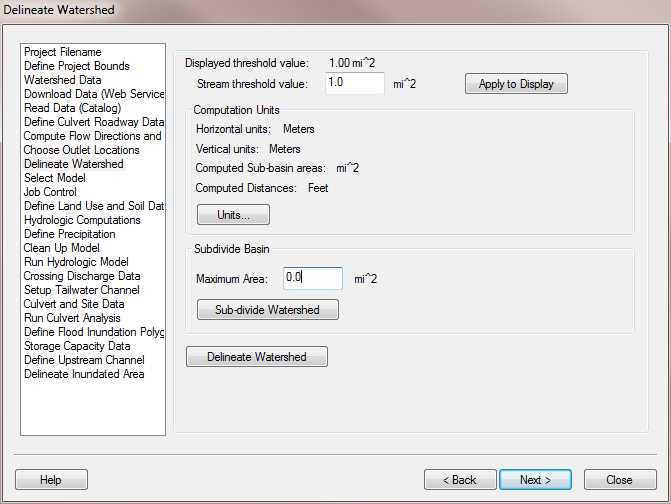
| 20:30, 9 February 2011 | HydrologicModelingWizardDelineateWatershed.png (file) |  |
40 KB | 1 | |
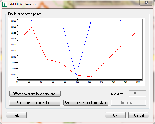
| 21:51, 9 February 2011 | HY8EditDemElevations.png (file) |  |
32 KB | 1 | |
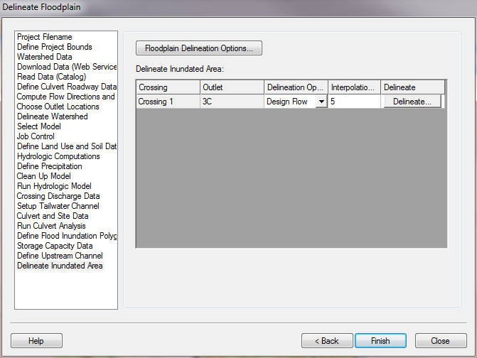
| 22:16, 9 February 2011 | HY8ModelingWizardDelineateInundatedArea.png (file) |  |
34 KB | 1 | |
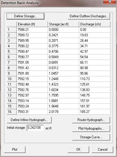
| 23:13, 9 February 2011 | DetentionBasinAnalysis.png (file) |  |
21 KB | 1 | |
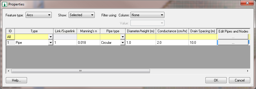
| 00:21, 17 May 2011 | GsshaPipeArcProperties.png (file) |  |
61 KB | GSSHA Pipe Arc Properties dialog | 1 |
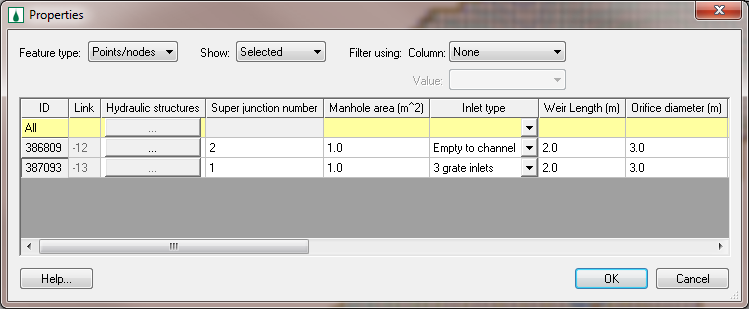
| 00:21, 17 May 2011 | GsshaPipePointProperties.png (file) |  |
51 KB | GSSHA Pipe Point Properties dialog | 1 |
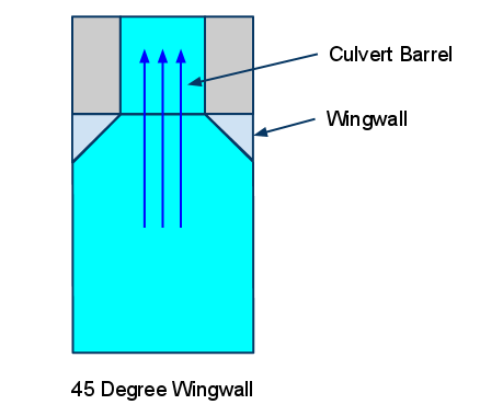
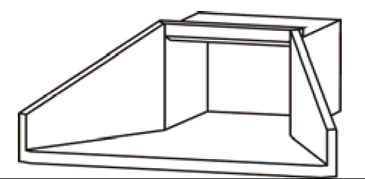
| 22:49, 16 June 2011 | 45DegreeWingwallConspanCulvertDiagram.png (file) |  |
8 KB | 45 Degree Wingwall Conspan Culvert Diagram | 1 |
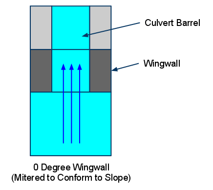
| 22:50, 16 June 2011 | 0DegreeWingwallConspanCulvertDiagram.png (file) |  |
9 KB | O Degree Wingwall Conspan Culvert Diagram | 1 |
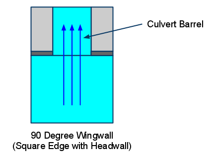
| 22:51, 16 June 2011 | 90DegreeWingwallConspanCulvertDiagram.png (file) |  |
8 KB | 90 Degree Wingwall Conspan Culvert Diagram | 1 |
| 23:38, 19 July 2011 | HY8SouthDakotaSketch1.png (file) |  |
38 KB | 1 | |
| 23:38, 19 July 2011 | HY8SouthDakotaSketch2.png (file) |  |
169 KB | 1 |