WMS:Quick Tour - Terrain Data: Difference between revisions
From XMS Wiki
Jump to navigationJump to search
No edit summary |
No edit summary |
||
| Line 4: | Line 4: | ||
Editing capabilities include the following: | Editing capabilities include the following: | ||
*Add/move/delete TIN vertices | *Add/move/delete TIN vertices | ||
*Add breakline(s) to TIN | *Add breakline(s) to TIN | ||
*Swap TIN triangle edges | *Swap TIN triangle edges | ||
*Trim TIN and DEM | *Trim TIN and DEM | ||
*Retriangulate TIN | *Retriangulate TIN | ||
*Edit TIN and DEM elevations | *Edit TIN and DEM elevations | ||
Revision as of 15:43, 23 September 2014
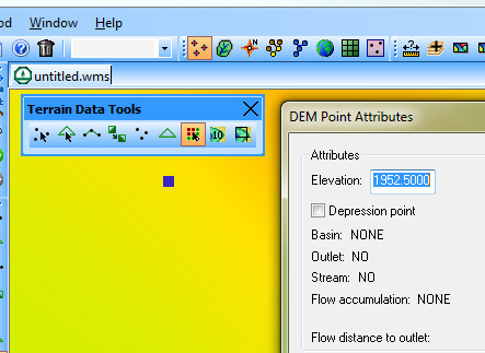
Users can use WMS to edit terrain data, such as Triangulated Irregular Network (TIN) and Digital Elevation Model (DEM) data.
Editing capabilities include the following:
- Add/move/delete TIN vertices
- Add breakline(s) to TIN
- Swap TIN triangle edges
- Trim TIN and DEM
- Retriangulate TIN
- Edit TIN and DEM elevations

