File:1D-CenterlineExample.png
From XMS Wiki
Jump to navigationJump to search

No higher resolution available.
1D-CenterlineExample.png (334 × 349 pixels, file size: 6 KB, MIME type: image/png)
The 1D-Hydraulic Centerline coverage has three possible attribute types: general, centerline, and bank. If the arc is a general arc type then it does not participate in the building of a hydraulic centerline and only provides additional visual detail to the model. A bank arc is used to mark left and right bank points for any cross sections that are automatically extracted from at digital terrain model.
File history
Click on a date/time to view the file as it appeared at that time.
| Date/Time | Thumbnail | Dimensions | User | Comment | |
|---|---|---|---|---|---|
| current | ★ Approved revision 14:26, 3 May 2016 | | 334 × 349 (6 KB) | Jcreer (talk | contribs) | |
| 15:58, 14 June 2007 | 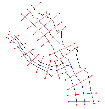 | 334 × 349 (5 KB) | Cballard (talk | contribs) |
You cannot overwrite this file.
File usage
The following 5 pages use this file: