File:DEM Guidelines 2.png

DEM_Guidelines_2.png (377 × 367 pixels, file size: 72 KB, MIME type: image/png)
Flow directions are computed from the active DEM region using a custom version of the TOPAZ model distributed with WMS. Once flow directions are assigned for each DEM point, TOPAZ then computes flow accumulations at each DEM point as well. The flow accumulation for a given DEM point is defined as the number of DEM points whose flow paths eventually pass through that point. For example, DEM points that are part of a stream have high flow accumulation values since the flow paths of all "upstream" points will pass through them. Streams are easily identified by displaying all DEM points with a flow accumulation value greater than a user-defined threshold as shown below. Flow accumulations can be computed in WMS from the flow directions, or read from ARC/INFO®, GRASS, or TOPAZ formatted files.
File history
Click on a date/time to view the file as it appeared at that time.
| Date/Time | Thumbnail | Dimensions | User | Comment | |
|---|---|---|---|---|---|
| current | ★ Approved revision 16:01, 9 June 2016 | | 377 × 367 (72 KB) | Jcreer (talk | contribs) | |
| 16:01, 9 June 2016 | 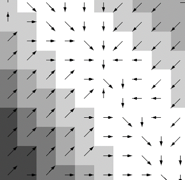 | 377 × 367 (72 KB) | Jcreer (talk | contribs) | ||
| 16:34, 2 February 2008 |  | 377 × 367 (40 KB) | Eshaw (talk | contribs) |
You cannot overwrite this file.
File usage
The following page uses this file: