File:GSDA Land Use.png
From XMS Wiki
Jump to navigationJump to search
No higher resolution available.
GSDA_Land_Use.png (471 × 241 pixels, file size: 252 KB, MIME type: image/png)
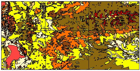
Land use data for the Provo, Utah region, displayed in ArcView.
File history
Click on a date/time to view the file as it appeared at that time.
| Date/Time | Thumbnail | Dimensions | User | Comment | |
|---|---|---|---|---|---|
| current | ★ Approved revision 20:58, 16 May 2008 | | 471 × 241 (252 KB) | Eshaw (talk | contribs) |
You cannot overwrite this file.
File usage
The following page uses this file: