File:GoogleEarth.png
From XMS Wiki
Jump to navigationJump to search
Size of this preview: 798 × 599 pixels. Other resolution: 1,024 × 769 pixels.
Original file (1,024 × 769 pixels, file size: 468 KB, MIME type: image/png)
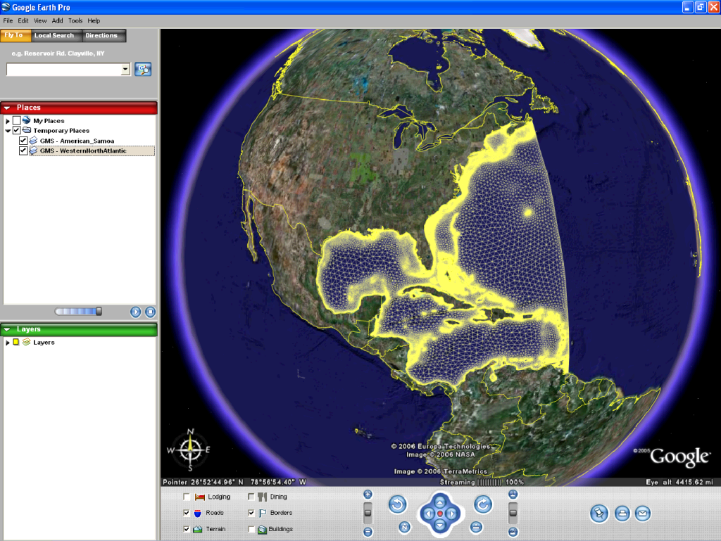
- Google Earth depicting Western Atlantic Mesh KMZ file
- A 2D Mesh inside Google Earth
File history
Click on a date/time to view the file as it appeared at that time.
| Date/Time | Thumbnail | Dimensions | User | Comment | |
|---|---|---|---|---|---|
| current | ★ Approved revision 19:59, 15 August 2007 | | 1,024 × 769 (468 KB) | Unjedai (talk | contribs) | Google Earth depicting Western Atlantic Mesh KMZ file |
You cannot overwrite this file.
File usage
The following page uses this file: