WMS:Quick Tour - Creating the TIN: Difference between revisions
From XMS Wiki
Jump to navigationJump to search
No edit summary |
No edit summary |
||
| Line 9: | Line 9: | ||
[[Category:WMS Quick Tour|Creating]] | [[Category:WMS Quick Tour|Creating]] | ||
[[Category:TINs]] | |||
Revision as of 15:37, 9 January 2017
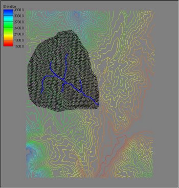
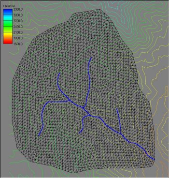
The conceptual model acts like a "cookie cutter" by triangulating the region of the elevation data inside the polygon and then enforcing the stream lines as triangle edges.


