WMS:Quick Tour - Creating the TIN
From XMS Wiki
Jump to navigationJump to search
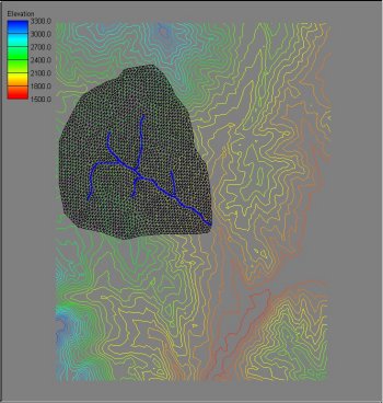
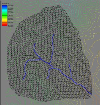
The conceptual model acts like a "cookie cutter" by triangulating the region of the elevation data inside the polygon and then enforcing the stream lines as triangle edges.


