WMS:Quick Tour - Adding GIS Data with ArcObjects
From XMS Wiki
Jump to navigationJump to search
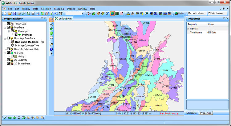
WMS provides two methods for reading in GIS data. Firstly, users owning an ArcGIS license can use ArcObjects technology to add the data to the WMS graphic window. This method allows for the reading in of shapefiles, ESRI GRIDS, and other raster data (including images). This method permits users to take advantage of many of ArcGIS tools as they construct a watershed model, including:
- Editing Layer Properties, such as symbology, labeling, transparency, and visible scale ranges
- Identifying features
- Selecting by Attributes \ Location
- On-the-fly coordinate conversion


