SMS:Quick Tour - Feature Stamping
From XMS Wiki
Jump to navigationJump to search
Some conceptual features may be desired in the numerical model that do not exist in the bathymetry of the model. Examples include jetties, breakwaters, bridge embankments, and dredged channels.
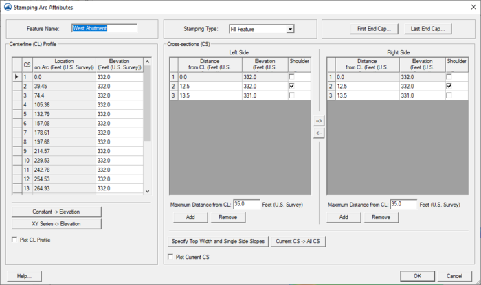
The feature stamping option in SMS creates the GIS entities to represent these features from a centerline arc or arc group and feature parameters.
SMS – Quick Tour | ||
|---|---|---|
| Overview | Intro • Layout • Menu • Project Explorer • Edit Strip • Module • Tools • Macros • Help Strip • Background Images |  |
| Conceptual Models | Conceptual Models • Feature Objects • Network Creation • Polygon Attributes • Feature Stamping • Model Conversion | |
| Models | USACE-WAS Models • USACE-WAS to Learn More • FHWA Models • FESWMS to Learn More • Generic Model | |
| Functionalities | Coordinate Conversions • Scattered Data • Filtering • Calibration • Calibration Targets • Profiles • Observation Coverage • Data Calculator • Visualization • Animation • Support | |
| Aquaveo • SMS Tutorials • SMS Workflows | ||

