File:Mapviewer.png: Difference between revisions
From XMS Wiki
Jump to navigationJump to search
No edit summary |
No edit summary |
||
| (2 intermediate revisions by the same user not shown) | |||
| Line 1: | Line 1: | ||
Example of the Map Viewer reached through the Check/Fix Levee Ground Elevations tool. | |||
[[Category:Toolbox ADCIRC]] | |||
[[Category: | |||
Latest revision as of 20:33, 24 October 2023
Example of the Map Viewer reached through the Check/Fix Levee Ground Elevations tool.
File history
Click on a date/time to view the file as it appeared at that time.
| Date/Time | Thumbnail | Dimensions | User | Comment | |
|---|---|---|---|---|---|
| current | ★ Approved revision 17:14, 18 November 2021 | 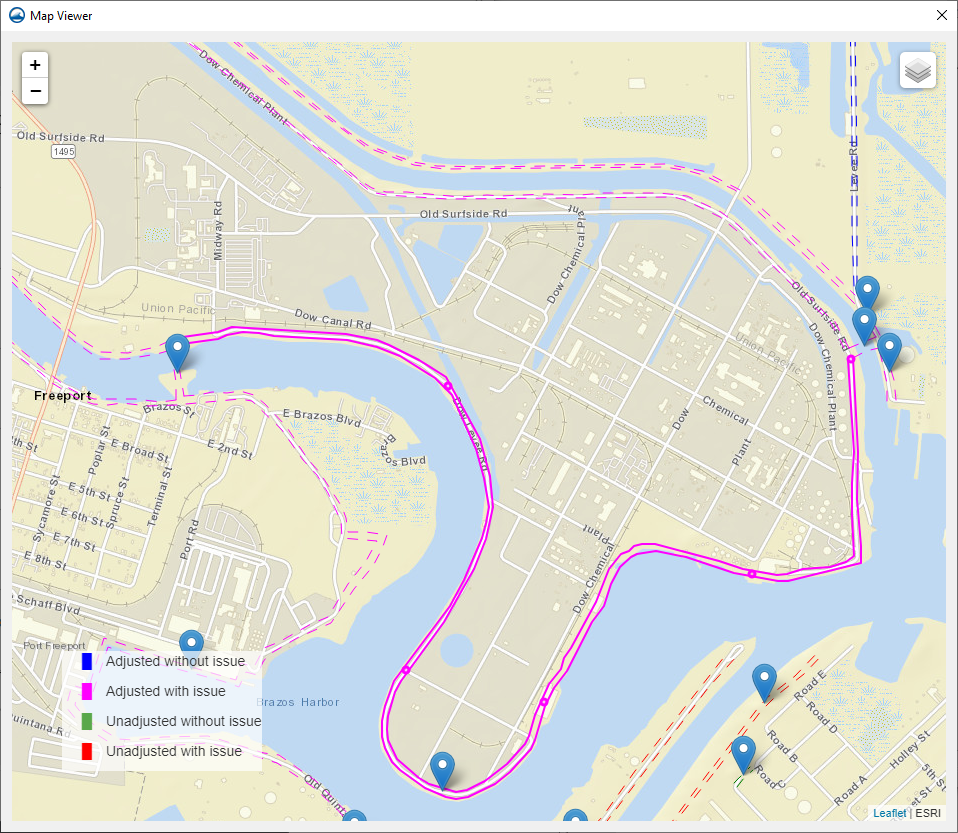 | 958 × 833 (1.02 MB) | Jcreer (talk | contribs) |
You cannot overwrite this file.