File:Utah's precipitation map.png: Difference between revisions
From XMS Wiki
Jump to navigationJump to search
m (Jmonson moved page File:GSDAImage066.png to File:Utah's precipitation map.png) |
No edit summary |
||
| Line 2: | Line 2: | ||
Image of the Utah's precipitation map. | Image of the Utah's precipitation map. | ||
[[Category:GSDA Importing Data]] | |||
Revision as of 15:40, 11 May 2017
Image of the Utah's precipitation map.
File history
Click on a date/time to view the file as it appeared at that time.
| Date/Time | Thumbnail | Dimensions | User | Comment | |
|---|---|---|---|---|---|
| current | ★ Approved revision 21:13, 17 May 2008 | 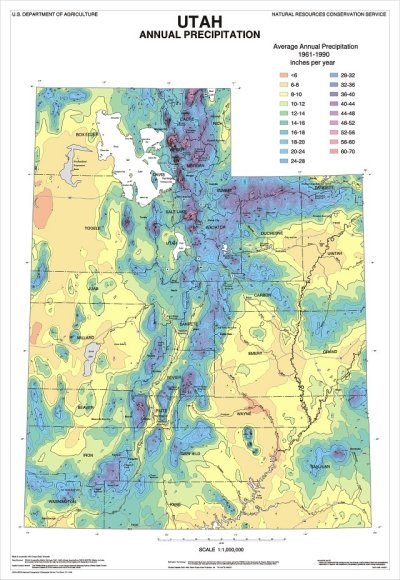 | 400 × 580 (359 KB) | Eshaw (talk | contribs) |
You cannot overwrite this file.
File usage
The following page uses this file: