Category:WMS Map Dialogs
From XMS Wiki
Jump to navigationJump to search
Files and articles related to dialogs in the Map module
Pages in category "WMS Map Dialogs"
The following 11 pages are in this category, out of 11 total.
1
Media in category "WMS Map Dialogs"
The following 27 files are in this category, out of 27 total.
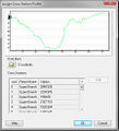
- AssignCrossSectionProfile.jpg 445 × 490; 49 KB
- ComputeGageWeight.png 271 × 146; 3 KB
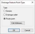
- WMS Drainage Feature Point Type.png 221 × 216; 4 KB
- WMS Drainage Feature Polygon Type.png 266 × 182; 4 KB
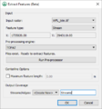
- ExtractFeatures WMS.png 383 × 409; 15 KB
- FloodDepthCoverage.png 200 × 520; 14 KB
- WMS GIS to Feature Objects Wizard1.png 479 × 390; 7 KB
- WMS GIS to Feature Objects Wizard2.png 479 × 390; 35 KB
- LandUseAtts.png 652 × 581; 54 KB
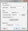
- RiverCrossSectionAtt.jpg 348 × 391; 32 KB
- RiverReachAtt.png 319 × 406; 7 KB
- SoilAtts.png 652 × 528; 13 KB
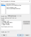
- TimeComputationsArcAttributes .png 380 × 450; 22 KB
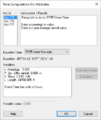
- TimeComputationsArcAttributes2.png 380 × 450; 23 KB
- WMS - Assign Cross Section dialog.png 486 × 611; 22 KB
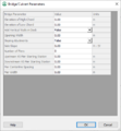
- WMS - Bridge Culvert Parameters dialog.png 458 × 497; 18 KB
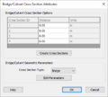
- WMS - BridgeCulvert Cross Section Attributes dialog.png 407 × 367; 12 KB
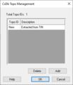
- WMS - CsDb Topo Management dialog.png 298 × 347; 4 KB
- WMS - Line Property Types dialog.png 542 × 308; 6 KB
- WMS - Point Property Types dialog.png 542 × 308; 6 KB
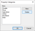
- WMS - Property Categories dialog.png 262 × 235; 4 KB
- WMS - River Cross Section Attributes dialog.png 352 × 537; 13 KB
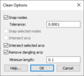
- WMS Clean Options.png 260 × 234; 7 KB
- WMS Coverage Overlay.png 340 × 523; 22 KB
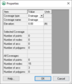
- WMS Coverage Properties.png 321 × 378; 7 KB
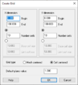
- WMS Create Grid.jpg 356 × 385; 8 KB
- WMS Drawing Depth.png 260 × 165; 3 KB
