Uploads by Cmsmemoe
From XMS Wiki
Jump to navigationJump to search
This special page shows all uploaded files.
| Date | Name | Thumbnail | Size | Description | Versions |
|---|---|---|---|---|---|
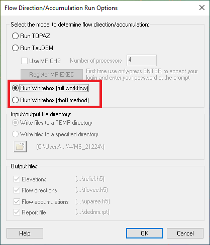
| 18:24, 21 October 2024 | WMSFlowDirection113.png (file) |  |
17 KB | 1 | |
| 05:50, 11 October 2023 | Polygons from index raster 2.png (file) |  |
93 KB | Polygons generated from the index raster | 1 |
| 05:50, 11 October 2023 | Polygons from index raster 1.png (file) |  |
96 KB | Raster with index (integer) data | 1 |
| 19:48, 14 September 2023 | Srp ugrids from watersheds 2.png (file) |  |
96 KB | 1 | |
| 19:47, 14 September 2023 | Srp ugrids from watersheds 1.png (file) |  |
606 KB | 1 | |
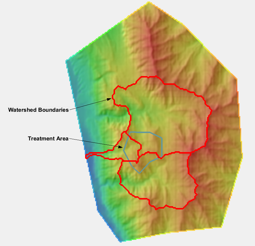
| 20:00, 16 August 2023 | Srp watersheds from raster 2.png (file) |  |
346 KB | 1 | |
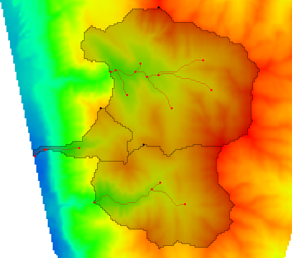
| 19:54, 16 August 2023 | Srp watersheds from raster 1.png (file) |  |
756 KB | 1 | |
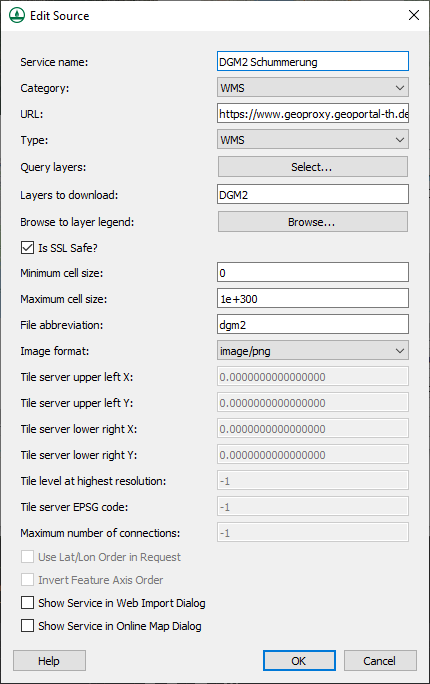
| 20:42, 22 March 2023 | AddNewSource.png (file) |  |
20 KB | 2 | |
| 06:49, 8 March 2023 | WinTR20.png (file) |  |
32 KB | WinTR-20 model inside WMS. | 1 |
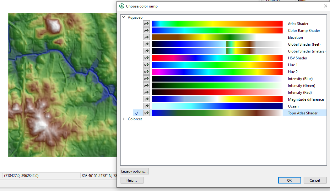
| 06:21, 8 March 2023 | ColorPalettes.png (file) |  |
451 KB | Choose color ramp dialog in WMS. | 1 |
| 20:12, 28 July 2022 | TR20precipitation.jpg (file) |  |
34 KB | 3 | |
| 21:19, 15 November 2021 | OmegaEM.zip (file) | 201 KB | 2 | ||
| 21:12, 26 May 2021 | FillWithFilter.png (file) |  |
83 KB | 1 | |
| 18:46, 17 May 2018 | CrossSectionDatabase.png (file) |  |
29 KB | 1 | |
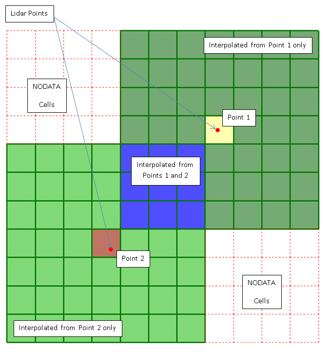
| 05:01, 23 March 2018 | LidarGslNorth.png (file) |  |
218 KB | 1 | |
| 18:35, 24 October 2017 | CorineLandUseTable.txt (file) | 2 KB | CORINE (European Land Cover Database) land use table for computing composite curve numbers. | 1 | |
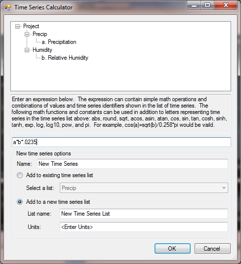
| 22:22, 7 December 2015 | TimeSeriesCalculator.png (file) |  |
48 KB | Time Series Calculator in the Time Series Editor | 1 |
| 22:21, 7 December 2015 | Hy12SimplifiedInterface.png (file) |  |
175 KB | HY12 Simplified Interface | 1 |
| 22:21, 7 December 2015 | Epanet.png (file) |  |
169 KB | EPANET Interface | 1 |
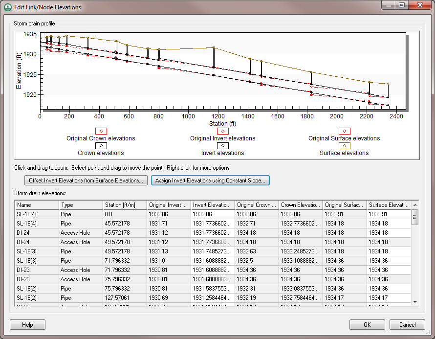
| 20:05, 19 May 2015 | WMS HY12 Edit Elevations.png (file) |  |
62 KB | HY-12 Edit Link/Node Elevations dialog | 2 |
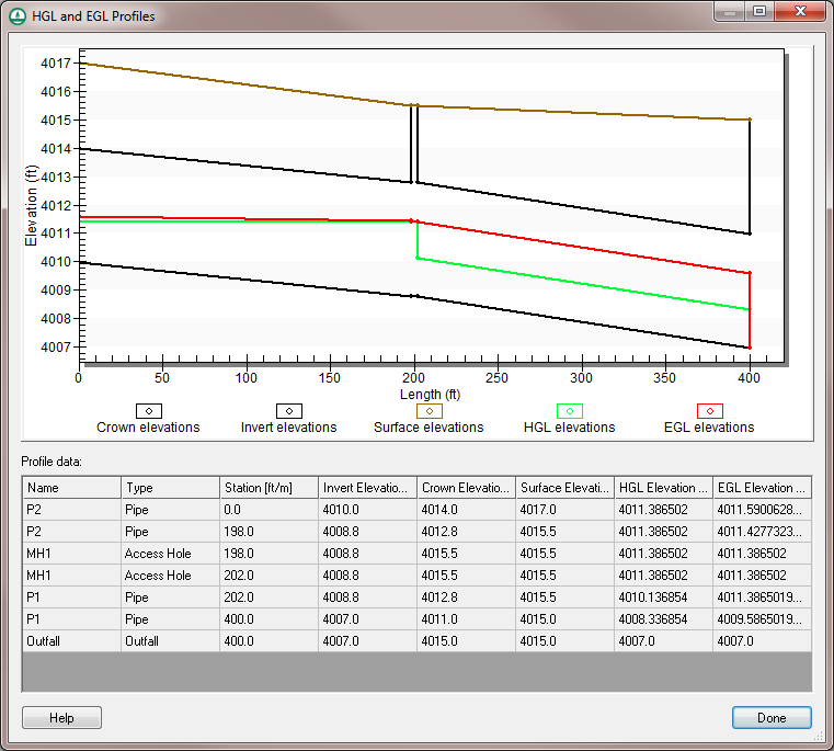
| 19:52, 19 May 2015 | WMS HY12 HGL and EGL Profiles.png (file) |  |
46 KB | HY-12 HGL and EGL profile dialog | 1 |
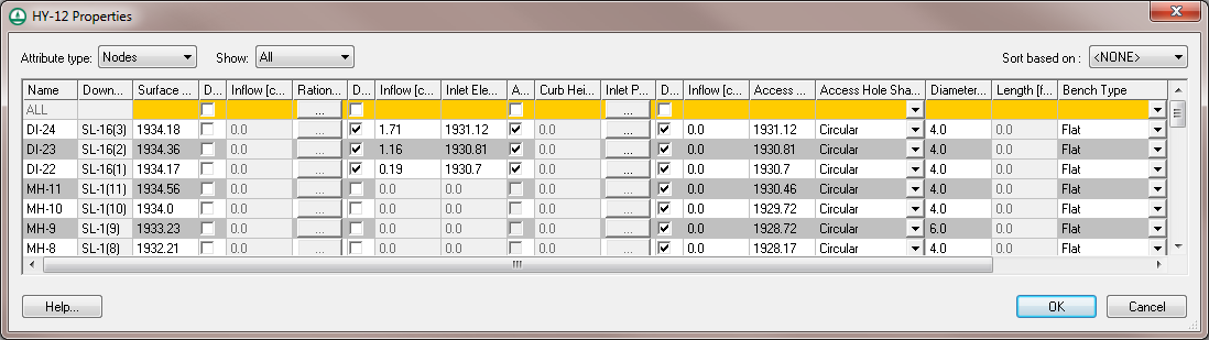
| 18:27, 19 May 2015 | WMS HY-12 Define Node Properties.png (file) |  |
34 KB | HY-12 define node properties dialog. | 1 |
| 17:52, 19 May 2015 | WMS HY12 Simplified Properties.png (file) |  |
42 KB | HY12 Simplified Properties dialog for links and nodes | 1 |
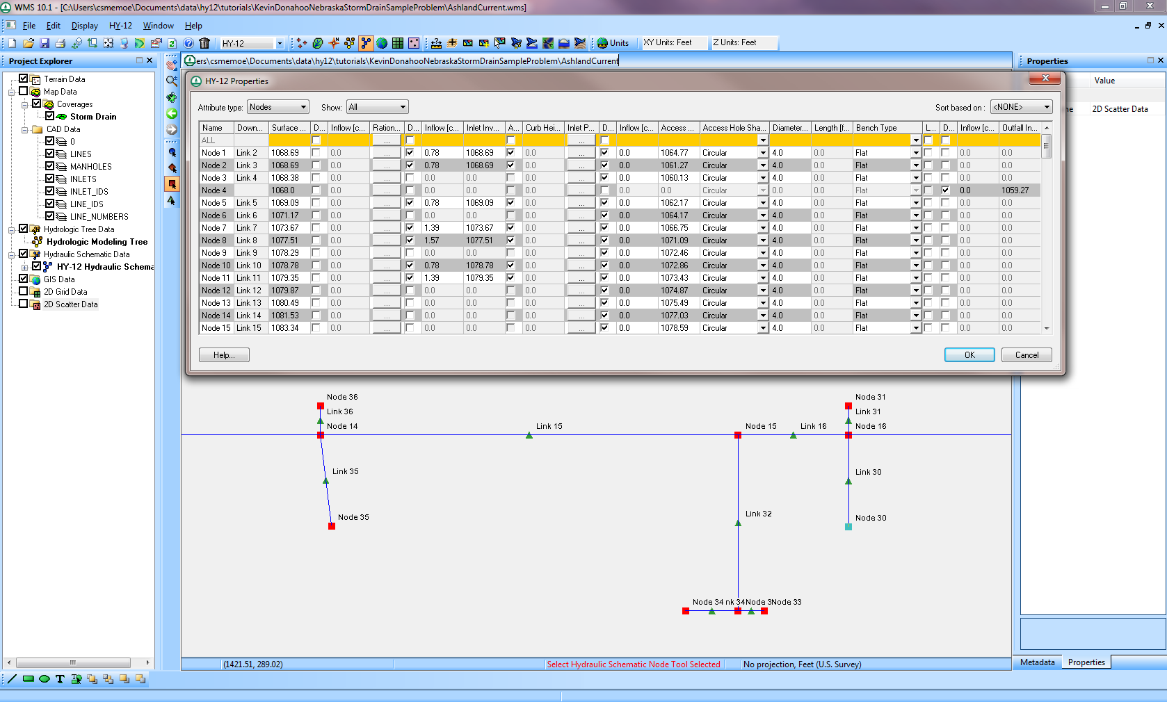
| 17:40, 19 May 2015 | WMS HY12 Properties.png (file) |  |
47 KB | HY-12 Project Properties dialog. | 1 |
| 03:44, 22 January 2015 | LouisianaRainfall.zip (file) | 301 KB | 1 | ||
| 14:46, 21 January 2015 | LADOTDCNTable.txt (file) | 2 KB | Louisiana DOTD Curve Number Table | 1 | |
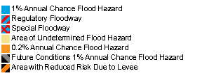
| 20:29, 20 January 2015 | FEMAFloodMapLegend.png (file) |  |
3 KB | 1 | |
| 16:15, 17 July 2014 | GsshaOverlandOutput.png (file) |  |
16 KB | 1 | |
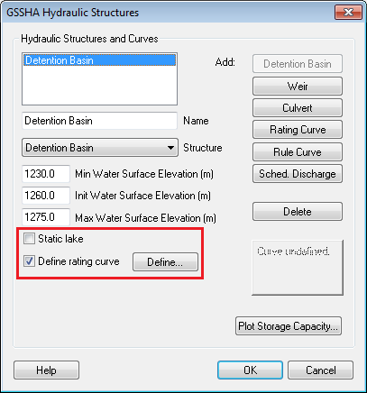
| 16:01, 17 July 2014 | GsshaLakeOptions.png (file) |  |
20 KB | 1 | |
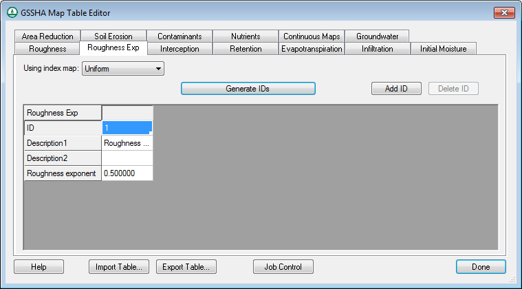
| 14:32, 17 July 2014 | GsshaDepthVaryingRoughnessIndexMap.png (file) |  |
23 KB | 1 | |
| 14:32, 17 July 2014 | GsshaDepthVaryingRoughnessJobControl.png (file) |  |
32 KB | 1 | |
| 13:04, 17 July 2014 | GsshaInsetModelLinkToChildXY.png (file) |  |
22 KB | 1 | |
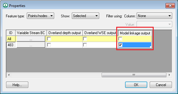
| 13:04, 17 July 2014 | GsshaInsetModelModelLinkageOutput.png (file) |  |
14 KB | 1 | |
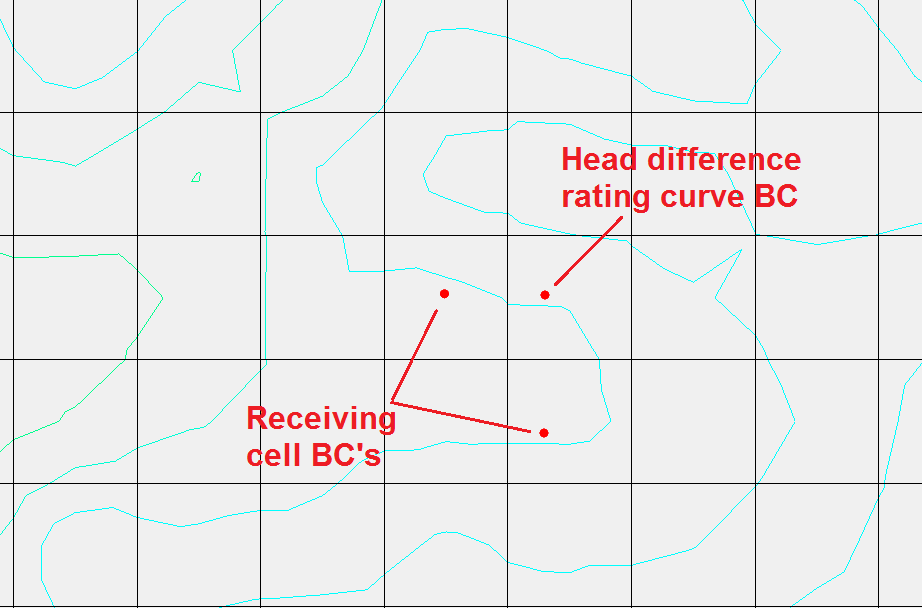
| 12:46, 17 July 2014 | GsshaOverlandFlowBcExample.png (file) |  |
29 KB | 1 | |
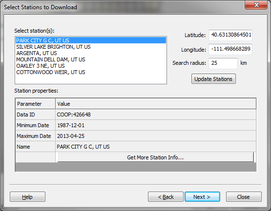
| 18:03, 12 June 2014 | NcdcRainfallStationWizard.png (file) |  |
39 KB | 1 | |
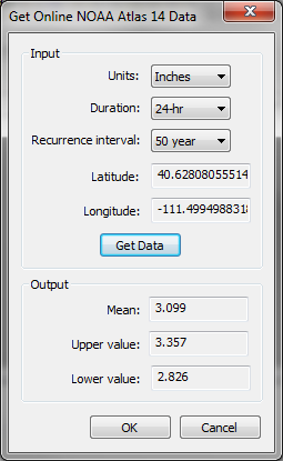
| 17:56, 12 June 2014 | NoaaAtlas14Dialog.png (file) |  |
23 KB | 1 | |
| 17:47, 12 June 2014 | FemaFloodBoundaryLines.png (file) |  |
1.15 MB | 1 | |
| 17:47, 12 June 2014 | FemaFloodMapImages.png (file) |  |
1.18 MB | 1 | |
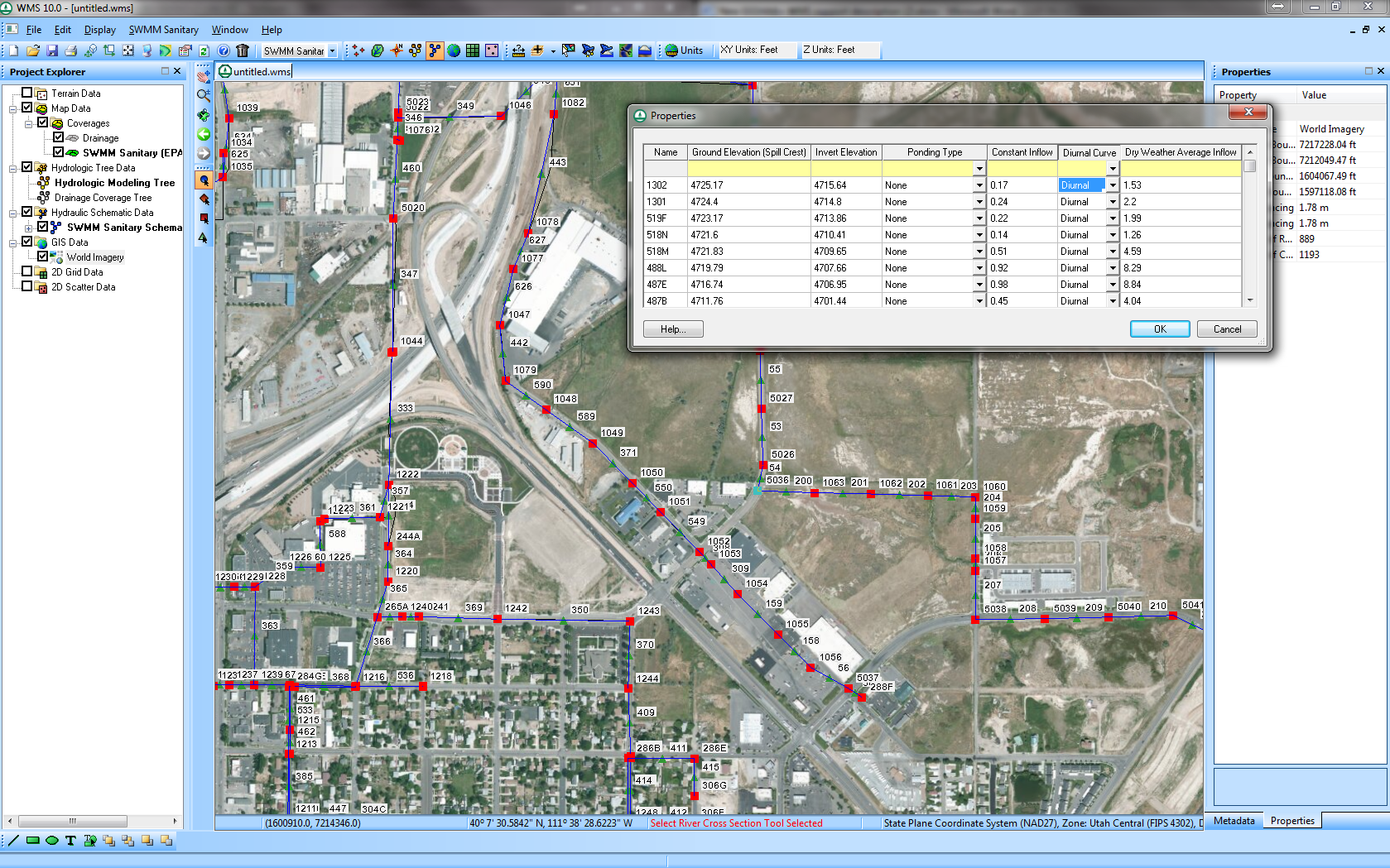
| 17:37, 12 June 2014 | EpaSwmmSanitarySewerModeling.png (file) |  |
1.58 MB | 1 | |
| 17:03, 12 June 2014 | ModClarkDssGriddedParameters.png (file) |  |
256 KB | 1 | |
| 16:07, 12 June 2014 | GsshaOverbankBackwaterOptions.png (file) |  |
26 KB | 1 | |
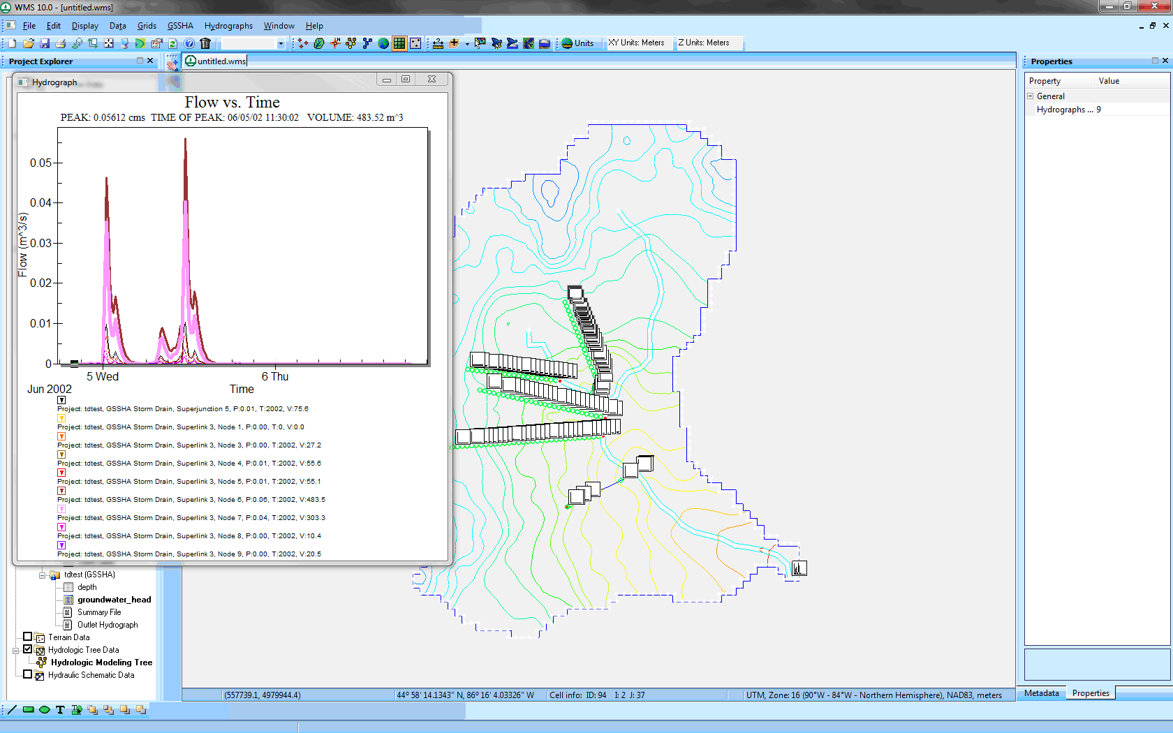
| 23:43, 27 May 2014 | GsshaStormDrainHydrographsFig3.png (file) |  |
117 KB | 1 | |
| 23:42, 27 May 2014 | GsshaStormDrainHydrographsFig2.png (file) |  |
36 KB | 1 | |
| 23:42, 27 May 2014 | GsshaStormDrainHydrographsFig1.png (file) |  |
14 KB | 1 | |
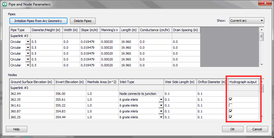
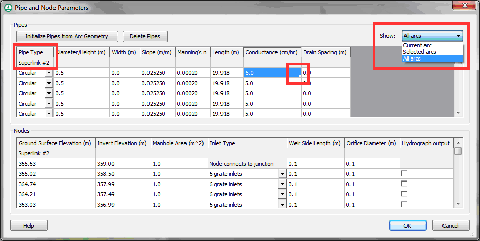
| 23:41, 27 May 2014 | GsshaStormDrainPipeNodeParamsFig1.png (file) |  |
36 KB | 1 | |
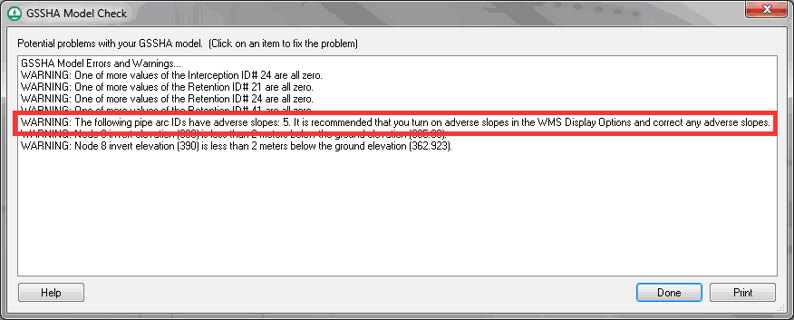
| 23:41, 27 May 2014 | GsshaStormDrainAdverseSlopeFig2.png (file) |  |
17 KB | 1 | |
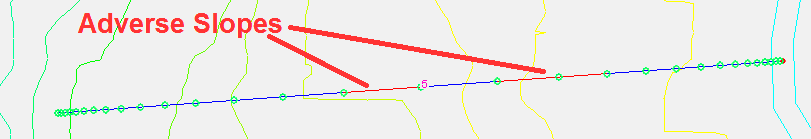
| 23:41, 27 May 2014 | GsshaStormDrainAdverseSlopeFig1.png (file) | 7 KB | 1 | ||
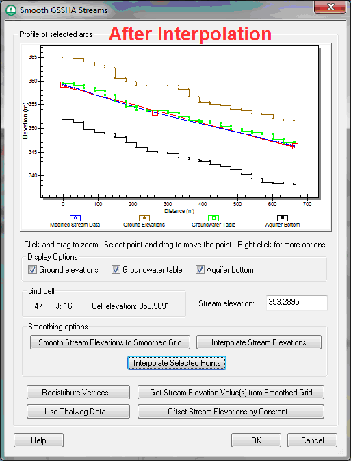
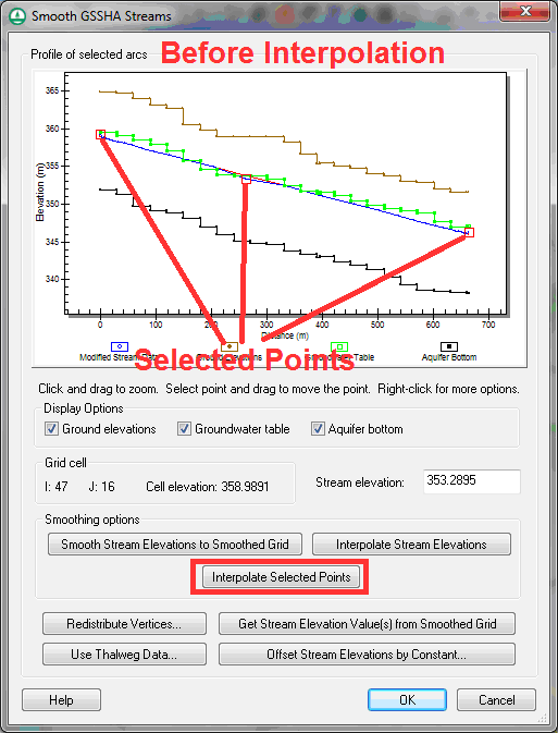
| 23:40, 27 May 2014 | GsshaStormDrainElevationInterpFig3.png (file) |  |
27 KB | 1 | |
| 23:40, 27 May 2014 | GsshaStormDrainElevationInterpFig2.png (file) |  |
30 KB | 1 | |
| 23:40, 27 May 2014 | GsshaStormDrainElevationInterpFig1.png (file) |  |
24 KB | 1 |