GMS:Boreholes: Difference between revisions
From XMS Wiki
Jump to navigationJump to search
No edit summary |
|||
| Line 1: | Line 1: | ||
{{Boreholes links}} | {{Boreholes links}} | ||
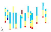
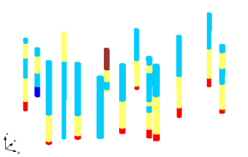
The Borehole module of GMS can be used to visualize boreholes created from drilling logs and to construct three-dimensional cross sections between boreholes. These cross sections show the soil stratigraphy between two boreholes. | |||
==Types of Borehole Data== | ==Types of Borehole Data== | ||
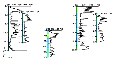
A borehole can contain either stratigraphy data or sample data or both. | A borehole can contain either stratigraphy data or sample data or both. | ||


