SMS:SMS: Difference between revisions
From XMS Wiki
Jump to navigationJump to search
No edit summary |
No edit summary |
||
| Line 52: | Line 52: | ||
| | | | ||
<!----- Right column: Support, Wiki Sections ------------------------> | <!----- Right column: Support, Wiki Sections ------------------------> | ||
|class="MainPageBG" style="width:50%; border:1px solid #cef2e0; background:# | |class="MainPageBG" style="width:50%; border:1px solid #cef2e0; background:#faf5ff; vertical-align:top; color:#000;"| | ||
{|width="100%" cellpadding="2" cellspacing="5" style="vertical-align:top; background:#faf5ff;" | {|width="100%" cellpadding="2" cellspacing="5" style="vertical-align:top; background:#faf5ff;" | ||
Revision as of 15:07, 15 September 2016
|
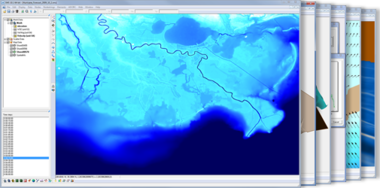
SMS (Surface-water Modeling System)
|
The Complete Surface-water Solution
|
|
|
SMS – Surface-water Modeling System | ||
|---|---|---|
| Modules: | 1D Grid • Cartesian Grid • Curvilinear Grid • GIS • Map • Mesh • Particle • Quadtree • Raster • Scatter • UGrid |  |
| General Models: | 3D Structure • FVCOM • Generic • PTM | |
| Coastal Models: | ADCIRC • BOUSS-2D • CGWAVE • CMS-Flow • CMS-Wave • GenCade • STWAVE • WAM | |
| Riverine/Estuarine Models: | AdH • HEC-RAS • HYDRO AS-2D • RMA2 • RMA4 • SRH-2D • TUFLOW • TUFLOW FV | |
| Aquaveo • SMS Tutorials • SMS Workflows | ||
