GMS:Image Gallery: Difference between revisions
From XMS Wiki
Jump to navigationJump to search
No edit summary |
|||
| Line 31: | Line 31: | ||
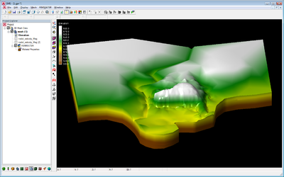
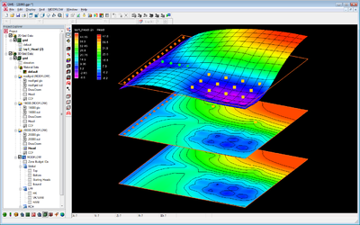
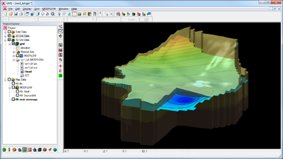
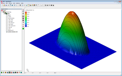
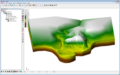
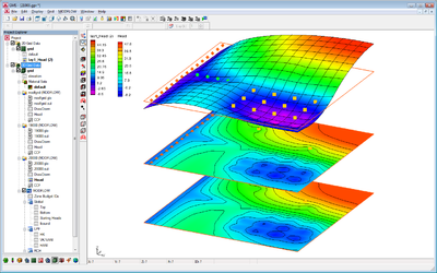
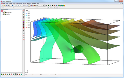
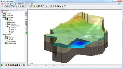
| [[Image:3dWaterTable_b.png|thumb|400px|MODFLOW computed water table in 3D.]] | | [[Image:3dWaterTable_b.png|thumb|400px|MODFLOW computed water table in 3D.]] | ||
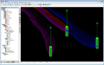
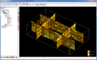
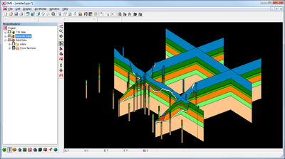
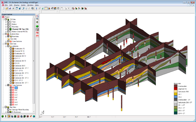
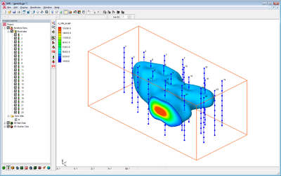
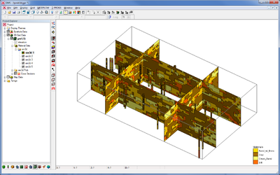
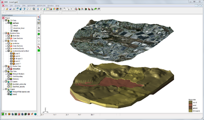
| [[Image:Horizons_black.png|thumb|400px|Boreholes and cross sections from a solid model.]] | | [[Image:Horizons_black.png|thumb|400px|Boreholes and cross sections from a solid model.]] | ||
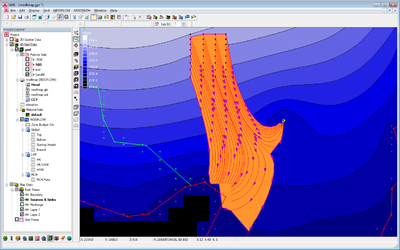
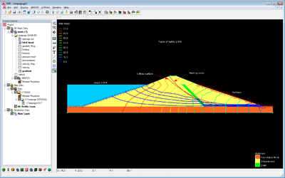
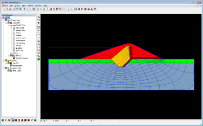
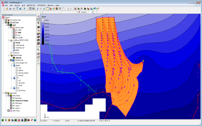
| [[Image:seep2d_earthdam_b.png|thumb|400px|SEEP2D model of an earth dam.]] | |||
|} | |} | ||
Revision as of 15:44, 16 January 2012
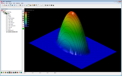
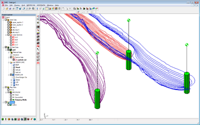
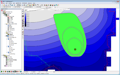
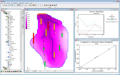
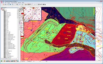
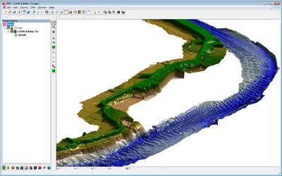
Various images generated by GMS. Feel free to post your cool GMS-generated images here but only if you're OK with them being free and in the public domain. Please follow these guidelines when posting images.
Black background
All these images have the background color set to black.
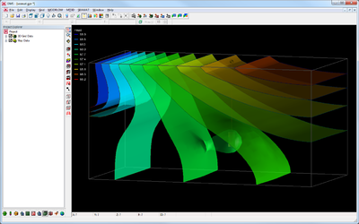
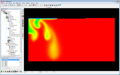 SEAWAT salt lake experiment showing salt water fingering. |
||
White background
Same as above but with the background color set to white.
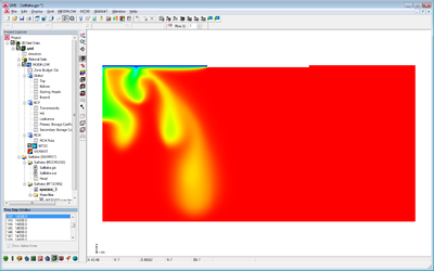 SEAWAT salt lake experiment showing salt water fingering. |
||
| [hide] GMS – Groundwater Modeling System | ||
|---|---|---|
| Modules: | 2D Grid • 2D Mesh • 2D Scatter Point • 3D Grid • 3D Mesh • 3D Scatter Point • Boreholes • GIS • Map • Solid • TINs • UGrids | |
| Models: | FEFLOW • FEMWATER • HydroGeoSphere • MODAEM • MODFLOW • MODPATH • mod-PATH3DU • MT3DMS • MT3D-USGS • PEST • PHT3D • RT3D • SEAM3D • SEAWAT • SEEP2D • T-PROGS • ZONEBUDGET | |
| Aquaveo | ||

