GMS:Community Edition: Difference between revisions
No edit summary |
No edit summary |
||
| Line 5: | Line 5: | ||
{| border="0" | {| border="0" | ||
|- | |- | ||
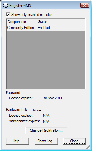
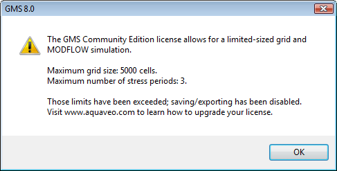
| rowspan="2" | [[Image:dlg_register_gms.png|frame|none|GMS registration dialog showing that GMS is running in Community Edition mode.]] || [[Image:dlg_gms_ce_warning.png|frame|none|GMS Community Edition warning dialog.]] | | rowspan="2" | [[Image:dlg_register_gms.png|frame|none|''GMS registration dialog showing that GMS is running in Community Edition mode.'']] || [[Image:dlg_gms_ce_warning.png|frame|none|''GMS Community Edition warning dialog.'']] | ||
|- | |- | ||
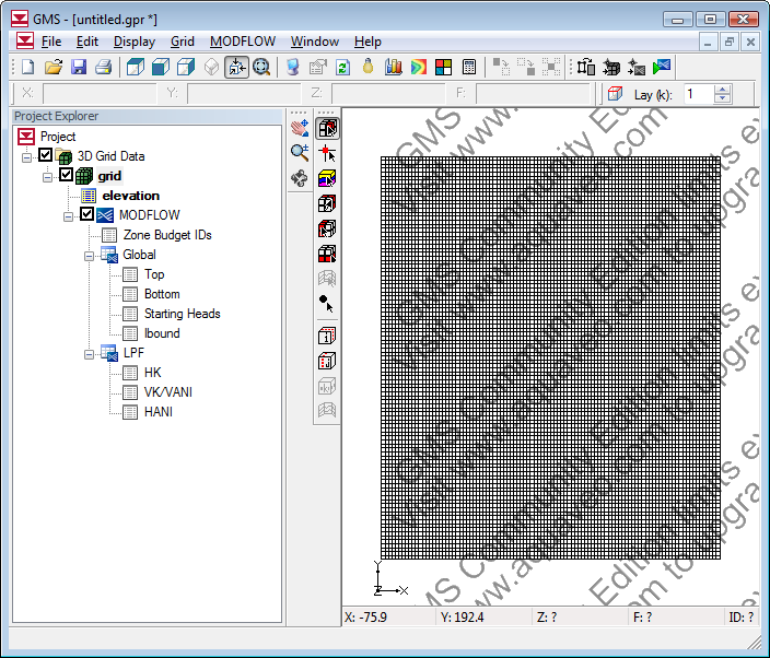
|| [[Image:gms_ce_watermark.png|frame|none|GMS showing watermark in Community Edition when size limits are exceeded.]] | || [[Image:gms_ce_watermark.png|frame|none|''GMS showing watermark in Community Edition when size limits are exceeded.'']] | ||
|} | |} | ||
{{Navbox GMS}} | {{Navbox GMS}} | ||
Revision as of 22:53, 13 March 2012
Starting at version 8.0 there is a free version of GMS called "Community Edition". It is limited to include only the 3D grid module and the MODFLOW model interface. It is also restricted in the size of the grid and the number of MODFLOW stress periods. Any size model can be imported, but if the grid exceeds 5000 cells or the number of stress periods is more than 3 the project cannot be saved and a watermark is displayed in the graphics window. The community edition must still be registered using a license code which can be obtained via the internet from the Registration Wizard (Help | Register | Change Registration | Get Community Edition License).
You can check if you are running in Community Edition mode by going to the Registration dialog. The size limits are displayed in the Help|About dialog.
GMS – Groundwater Modeling System | ||
|---|---|---|
| Modules: | 2D Grid • 2D Mesh • 2D Scatter Point • 3D Grid • 3D Mesh • 3D Scatter Point • Boreholes • GIS • Map • Solid • TINs • UGrids | |
| Models: | FEFLOW • FEMWATER • HydroGeoSphere • MODAEM • MODFLOW • MODPATH • mod-PATH3DU • MT3DMS • MT3D-USGS • PEST • PHT3D • RT3D • SEAM3D • SEAWAT • SEEP2D • T-PROGS • ZONEBUDGET | |
| Aquaveo | ||


