GMS:Map to MODFLOW with TINs: Difference between revisions
No edit summary |
No edit summary |
||
| Line 20: | Line 20: | ||
[[Image:TinModflow7.png|User preference for transient TIN data sets.]] | [[Image:TinModflow7.png|User preference for transient TIN data sets.]] | ||
{{Navbox GMS}} | |||
Revision as of 15:34, 26 April 2013
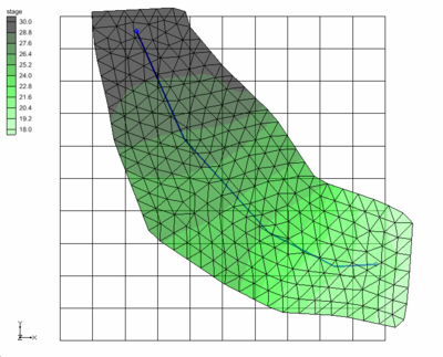
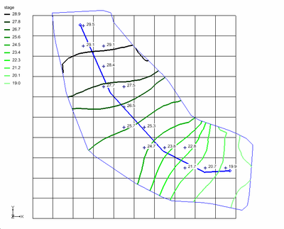
At times, instead of assigning values at the upstream and downstream ends of the arc, it is useful to assign a property using a surface. This can be done in GMS using a TIN.
When the arc is discretized onto the model grid, the boundary condition property will be interpolated from the TIN.
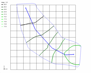
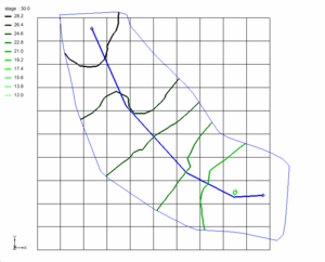
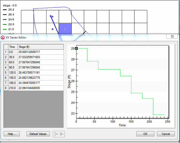
Beginning with version 9.1, the user can also assign TINs with transient data sets. This will give users the option to have a surface that changes with time assigned to a boundary condition property. The times associated with the TIN data set can be in date/time format or relative time format.
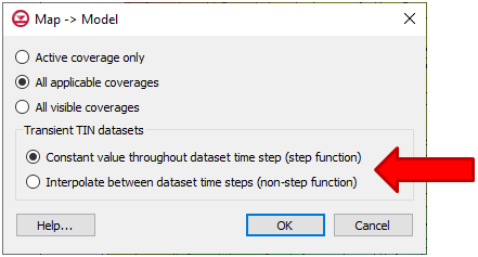
There is a user preference for treating the transient data on the TIN as a step function or as a continuous curve. This option is selected when performing the Map->MODFLOW operation under the Transient TIN data sets section.
| [hide] GMS – Groundwater Modeling System | ||
|---|---|---|
| Modules: | 2D Grid • 2D Mesh • 2D Scatter Point • 3D Grid • 3D Mesh • 3D Scatter Point • Boreholes • GIS • Map • Solid • TINs • UGrids | |
| Models: | FEFLOW • FEMWATER • HydroGeoSphere • MODAEM • MODFLOW • MODPATH • mod-PATH3DU • MT3DMS • MT3D-USGS • PEST • PHT3D • RT3D • SEAM3D • SEAWAT • SEEP2D • T-PROGS • ZONEBUDGET | |
| Aquaveo | ||
