Polygons from UGrid Boundary Tool: Difference between revisions
From XMS Wiki
Jump to navigationJump to search
(Created page with "{{Polygons from UGrid Boundary}} {{Navbox SMS}} Category:Toolbox") |
No edit summary |
||
| (2 intermediate revisions by one other user not shown) | |||
| Line 3: | Line 3: | ||
{{Navbox SMS}} | {{Navbox SMS}} | ||
[[Category:Toolbox]] | [[Category:Toolbox Coverages]] | ||
[[Category:Coverages GMS Toolbox]] | |||
Latest revision as of 16:40, 3 May 2024
Polygons from UGrid Boundary
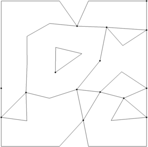
The Polygons from UGrid Boundary tool converts the outer boundary of a UGrid to polygons in a new coverage. This tool only functions on UGrids with 2D Cells.
Input parameters
- Input grid – The UGrid (or 2D mesh/scatter) whose boundary will be converted to arcs in a coverage.
Output parameters
- Output coverage name – Name of the coverage created by the tool. If this is left blank then the name of the coverage will be set to the name of the input grid.
Current location in Toolbox
Coverages/Polygons from UGrid Boundary
Example
SMS – Surface-water Modeling System | ||
|---|---|---|
| Modules: | 1D Grid • Cartesian Grid • Curvilinear Grid • GIS • Map • Mesh • Particle • Quadtree • Raster • Scatter • UGrid |  |
| General Models: | 3D Structure • FVCOM • Generic • PTM | |
| Coastal Models: | ADCIRC • BOUSS-2D • CGWAVE • CMS-Flow • CMS-Wave • GenCade • STWAVE • WAM | |
| Riverine/Estuarine Models: | AdH • HEC-RAS • HYDRO AS-2D • RMA2 • RMA4 • SRH-2D • TUFLOW • TUFLOW FV | |
| Aquaveo • SMS Tutorials • SMS Workflows | ||

