GMS:Boreholes: Difference between revisions
From XMS Wiki
Jump to navigationJump to search
No edit summary |
No edit summary |
||
| Line 1: | Line 1: | ||
{{Boreholes links}} | {{Boreholes links}} | ||
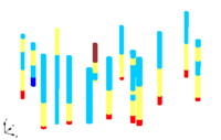
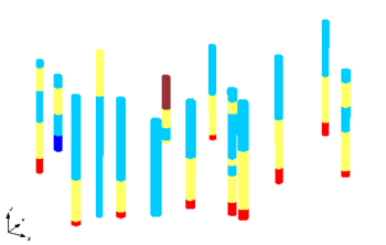
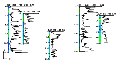
The Borehole module of GMS can be used to visualize boreholes created from drilling logs and to construct three-dimensional cross sections between boreholes. These cross sections show the soil stratigraphy between two boreholes. | The Borehole module of GMS can be used to visualize boreholes created from drilling logs and to construct three-dimensional [[GMS:Borehole Cross Sections|cross sections]] between boreholes. These cross sections show the soil stratigraphy between two boreholes. | ||
The borehole module contains its own set of tools and commands for manipulating borehole data as well as its own display options. Borehole data can be converted to other types of objects such as 2D Scatter Points, TINs, 3D Meshes. | The borehole module contains its own set of tools and commands for manipulating borehole data as well as its own display options. Borehole data can be [[GMS:Converting Borehole Data|converted]] to other types of objects such as 2D Scatter Points, TINs, 3D Meshes. | ||
==Types of Borehole Data== | ==Types of Borehole Data== | ||


