GMS:Boreholes: Difference between revisions
From XMS Wiki
Jump to navigationJump to search
No edit summary |
No edit summary |
||
| Line 2: | Line 2: | ||
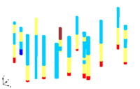
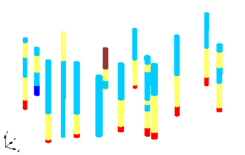
The Borehole module of GMS can be used to visualize boreholes created from drilling logs and to construct three-dimensional [[GMS:Borehole Cross Sections|cross sections]] between boreholes. These cross sections show the soil stratigraphy between two boreholes. | The Borehole module of GMS can be used to visualize boreholes created from drilling logs and to construct three-dimensional [[GMS:Borehole Cross Sections|cross sections]] between boreholes. These cross sections show the soil stratigraphy between two boreholes. | ||
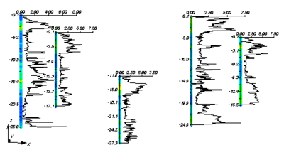
The borehole module contains its own set of [[GMS:Borehole Tool Palette|tools]] and [[GMS:Borehole Commands|commands]] for manipulating borehole data as well as its own display options. Borehole data can be [[GMS:Converting Borehole Data|converted]] to other types of objects such as 2D Scatter Points, TINs, 3D Meshes. | Borehole data can be [[GMS:Creating and Editing Boreholes|imported or created]] in GMS. The borehole module contains its own set of [[GMS:Borehole Tool Palette|tools]] and [[GMS:Borehole Commands|commands]] for manipulating borehole data as well as its own display options. Borehole data can be [[GMS:Converting Borehole Data|converted]] to other types of objects such as 2D Scatter Points, TINs, 3D Meshes. | ||
The module also allows using [[GMS:Borehole Hydrogeologic Units|hydrogeologic units (HGUs)]] to be defined on boreholes. | The module also allows using [[GMS:Borehole Hydrogeologic Units|hydrogeologic units (HGUs)]] to be defined on boreholes. | ||


