New England State Plane
From XMS Wiki
Jump to navigationJump to search
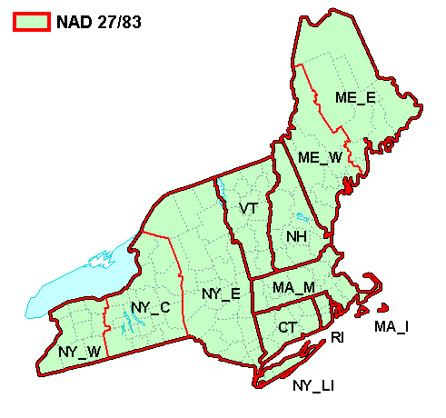
The figure below shows the state plane zones for the New England area.
| NAD 27 / 83 | ||||||||||||||||||||||||||||||||||||||
| Zone Name | Map Code | Zone ID | ||||||||||||||||||||||||||||||||||||
|
|
| ||||||||||||||||||||||||||||||||||||
Projections | |
|---|---|
| UTM: | Africa • Asia • Australia • Europe • North America • South America |
| State Plane: | Alaska • Hawaii • Mideast • Midwest • New England • Northwest • South Central • Southeast • Southwest • Virginia Area |
| Other | CPP • Geographic |
