UTM Coordinate System
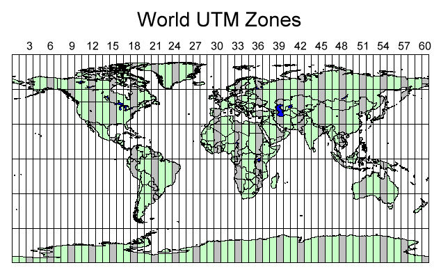
A UTM (Universal Transverse Mercator) system is a world-wide system defined in meters. The world is divided into 60 zones, 6 degrees of longitude, running from 84°N to 80°S latitude. Supported UTM systems include:
- NAD (North American Datum) 1927 and NAD 1983
- HPGN (High Precision Geodetic Network, now known as HARN – High Accuracy Precision Network)
The hemispheres are defined for non-NAD systems. The hemisphere cannot be changed for NAD systems (Northern, Western hemispheres). An additional HPGN zone must be defined for HPGN systems.
UTM zones for the southern hemisphere have a "false northing" of 10,000,000 meters at the equator with northings decreasing as you move south. This ensures all northings are positive in the southern hemisphere.
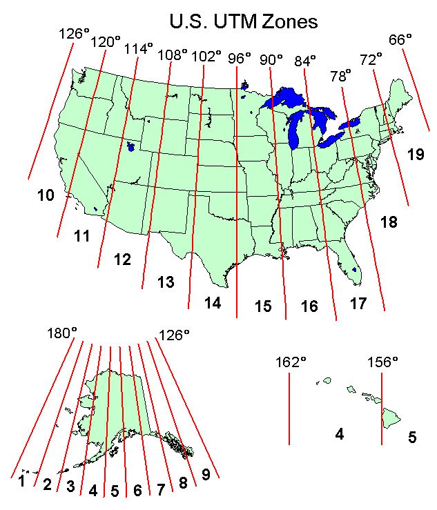
The US and World UTM Zones are shown below.
UTM Zones By Continent
The following sections show the UTM zones for each continent.
North America
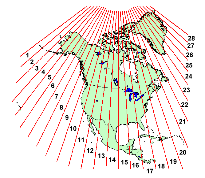
The figure below shows the UTM zones for North America.
South America
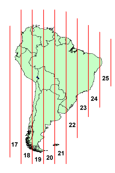
The figure below shows the UTM zones for South America.
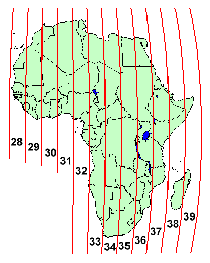
Africa
The figure below shows the UTM zones for Africa.
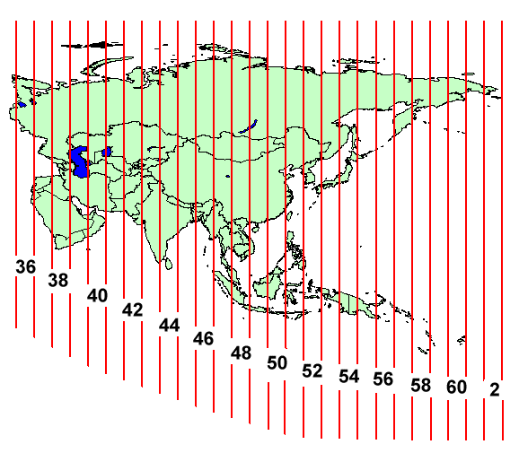
Asia
The figure below shows the UTM zones for Asia.
Europe
The figure below shows the UTM zones for Europe.
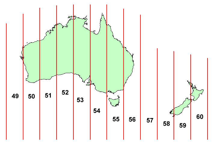
Australia
The figure below shows the UTM zones for Australia.
Related Topics
| [hide] Projections | |
|---|---|
| UTM: | Africa • Asia • Australia • Europe • North America • South America |
| State Plane: | Alaska • Hawaii • Mideast • Midwest • New England • Northwest • South Central • Southeast • Southwest • Virginia Area |
| Other | CPP • Geographic |
