User:Jcreer/SMS:EWN
From XMS Wiki
Jump to navigationJump to search
Engineering with Nature (EWN) is a tool to aid in implementing engineering features into natural environments.
EWN Features Coverage
The EWN Features coverage allows creating feature objects to represent structures.
EWN Polygon Properties Dialog
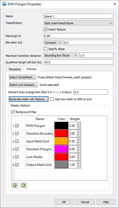
The EWN Polygon Properties dialog has the following options:
- Name
- Classification
- "Unassigned"
- "Mesh Transition Zone"
- "Internal ADCIRC Levee"
- "East Coast Mangroves"
- "Gulf Coast Mangroves"
- "West Coast Marsh"
- "East Coast Beach/Dune"
- "West Coast Beach/Dune"
- "Gulf Coast Beach/Dune"
- Insert Feature
- Manning's N
- Elevation
- Slope
- Maximum Slope Distance
- Maximum Transition Distance
- Metadata
- Preview
- Select UGrid/Mesh
- Element area change limit
- Generate mesh with Feature
- Add new mesh to SMS on exit
Sediment Volume Management Coverage
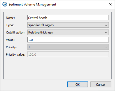
The Sediment Volume Management coverage allows calculating cut and fill for sediment volume. The coverage allows assigning sediment attributes to polygons and also provides a tool to perform sediment volume calculations.
Sediment Volume Management Polygon Attributes
Sediment Volume Management Tool
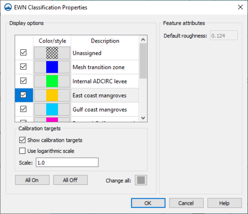
EWN Classification Properties
EWN Tools
Generate Elevation Raster
Generate Roughness Dataset
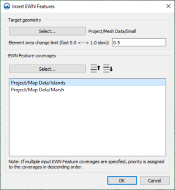
Insert EWN Features
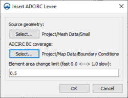
Insert ADCIRC Levees
SMS – Surface-water Modeling System | ||
|---|---|---|
| Modules: | 1D Grid • Cartesian Grid • Curvilinear Grid • GIS • Map • Mesh • Particle • Quadtree • Raster • Scatter • UGrid |  |
| General Models: | 3D Structure • FVCOM • Generic • PTM | |
| Coastal Models: | ADCIRC • BOUSS-2D • CGWAVE • CMS-Flow • CMS-Wave • GenCade • STWAVE • WAM | |
| Riverine/Estuarine Models: | AdH • HEC-RAS • HYDRO AS-2D • RMA2 • RMA4 • SRH-2D • TUFLOW • TUFLOW FV | |
| Aquaveo • SMS Tutorials • SMS Workflows | ||
